Rotsethornet – Høgedalen
Volda
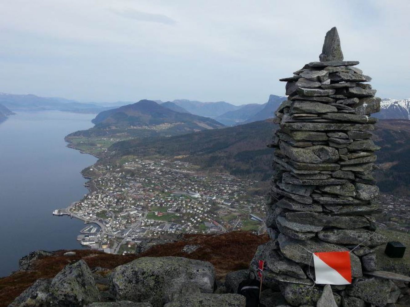
Mount Rotsethornet is prominently located in Volda, to the annoyance of some and the delight of the others. The mountain shields the sun during winter, but it also gives plenty of great hiking opportunities. It is said that you are not a true resident of Volda unless you have climbed Rotsethornet. On your way up and from the top of the mountain itself, you will get a great view of the village of Volda and the nearby areas.
The trail described here goes up the steep front side of the mountain. You have to be prepared for a bit of climbing. From the top, you will walk down the back of the mountain and go through the Høgedalen Valley. (You can also walk down through the Lisjedalen Valley, which would be the most common and the shortest route.)
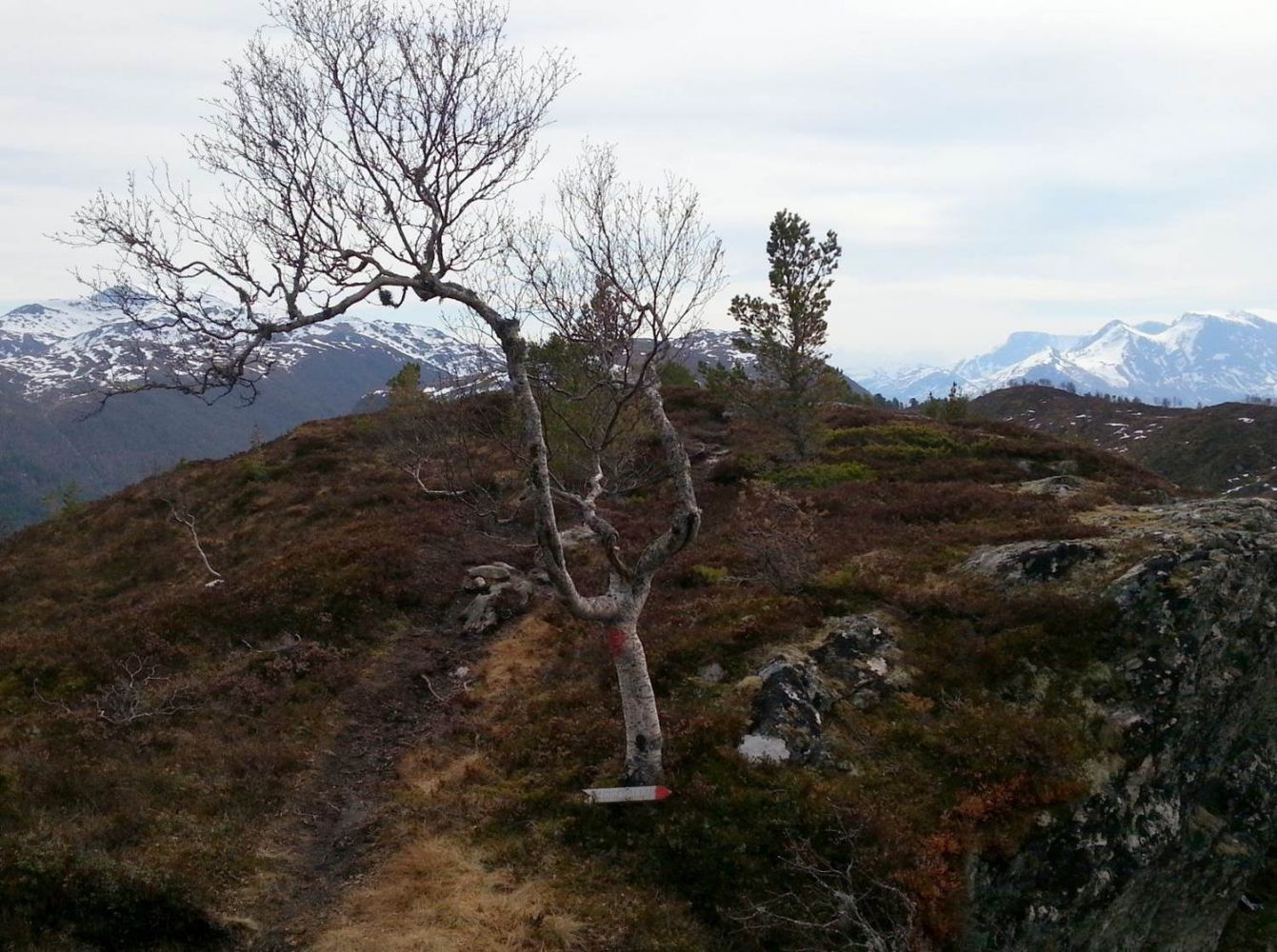
It is easy to walk and there are no steep sections. A part of the trail goes through birch and pine forests. The path may not be clearly seen at times, but it is partly waymarked and if you take a good look around, you will surely find it again. The top of the mountain is a perfect place to take a lunch break while enjoying the view.
Start walking from the entrance to the Rotsethorn Tunnel and follow a forest road over the tunnel and up to Kalsethola. This is where the path up the front side of the mountain begins. The safest way to walk is to follow the path. The hillside is quite steep, but you can hold on to the chains and ropes along the path and walk on the steps that are mounted in the rock. Aksla is a great viewing point on your way and a nice place to pause. The path further up to the top is still somewhat steep, but not as steep as it has been up to that point.
Once you reach the top, you will be rewarded with a fantastic view over Volda. It is nice to take a break up here before heading back towards the Høgedalen Valley.
On your way back, you walk past the Toskejølet viewing point. Be careful if you walk along the edge — it is a long way down!
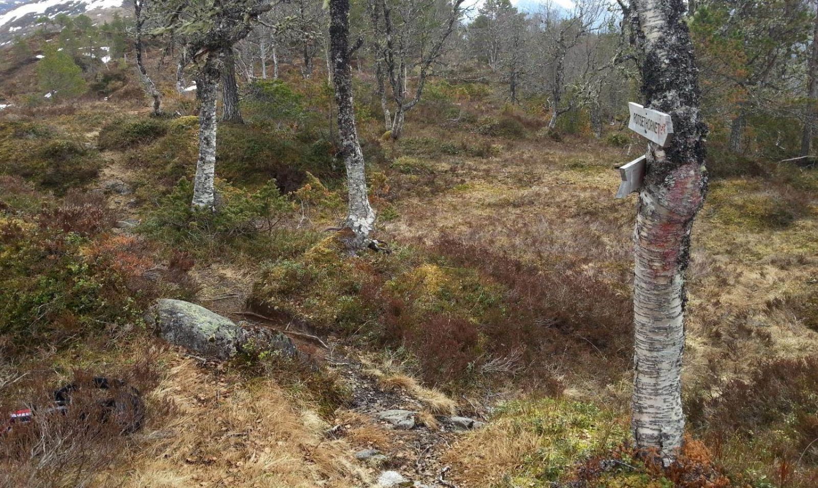
The path is clearly seen until you reach the first crossing (photo 1. Position: N62 07.533 E6 06.315). The path straight ahead leads to the Lisjedalen Valley, which is the most popular return route. To walk through the Høgedalen Valley, take the turn to the right. The path is a bit unclear at first, but it is waymarked. Walk along the west side of a small marsh and then east after you pass the marsh. Follow the path further east. The next fork in the path is Høgedalen/Humbersetsetra (photo 2. Position: N62 07.213 E6 06.999). It is marked with a sign. Follow the path straight ahead/to the left and further onto the ridge. There is a marked path here the entire time. At some point, you will see a pine tree that has grown over the path. This is where you start walking down to the end of the forest road in the Høgedalen Valley (photo 3. Position: N62 07.410 E6 07.697). Just follow the path further down to the forest road. The route described here follows this road down to Lake Rotevatnet, but if you can also walk straight ahead from the end of the forest road. You will then come across an old forest road which will also take you down to Lake Rotevatnet. This alternative route is slightly shorter.Follow the Rotevasstranda shoreline back to the starting point.
The trail starts at the entrance to the Rotsethorn Tunnel on the side of Volda (E39/RV651 towards Fyrde/Kvivsvegen).
Park your car by the entrance to the Rotsethorn Tunnel.
Duration
4 t

Sesong
Spring, Summer, Autumn
Signage
Both signed and marked
| Surface type |
Distance |
| Grus |
5 |
| Sti |
4,3 |
You can take the circular bus route, Ringruta, to the Kiwi store by the roundabout near Volda University College and walk for about 1 km in the direction of Fyrde.
It is also nice to cycle to the starting point.
Unfortunately, there have been accidents resulting in death on this route. These accidents happened when the hikers walked off the path. If you keep to the path, the hike is considered to be safe. Children aged 4–5 years old enjoy this trail because of the climbing part, but they should always be accompanied by confident adults with enough hiking experience.
Sunnmørsalpane. Local tourist map of Volda
 Driving directions
 Route data
GeoJSON
Route data
GeoJSON