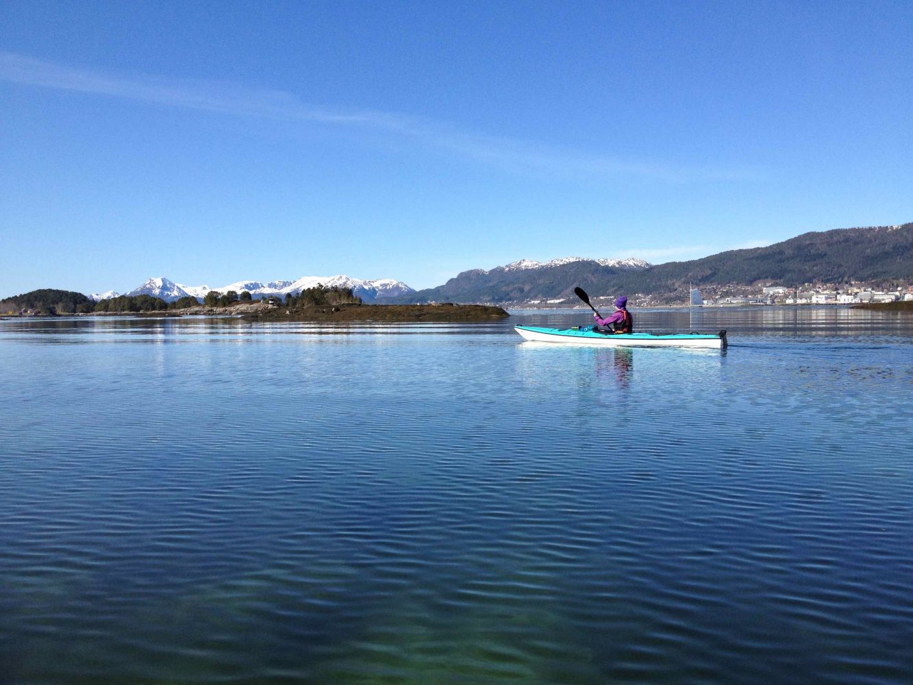
Paddling route through the gem of the "Moldives". The lagoon at the northwest end of Seterøya is sheltered from wind and bad weather. The water is so shallow that only kayaks and smaller boats are able to pass.
Route description
Begin at the boat slip at the leisure boat harbour at Tøndergård east of Molde centre. Here you can drive all the way down to the water. Paddle out of the harbour and continue south. Aim for the east end of Brentøya. Paddle westward to the south side of Brentøya. Once you reach Hjertøysundet, make a 180 degree turn to the left to Lagunen and paddle eastward, just north of Seterøya. Continue through Lagunen and paddle northward towards Tøndergård.
Access and parking
Parking spaces at the boat harbour are for guests who have mooring. But there is guest parking just west of the boathouses. Here you can park for free.
Paddle route
Blue
Distance
6,20 km one way
Duration
3 t. 10 min.
Map route
Other
On the way over to the lagoon, you will be paddling through the open fjord. Westerly winds can be strong here. Be aware of sudden cloudbursts that can cause winds at short notice.
Other routes nearby: https://morotur.no/tur/Seteroeya-rundt