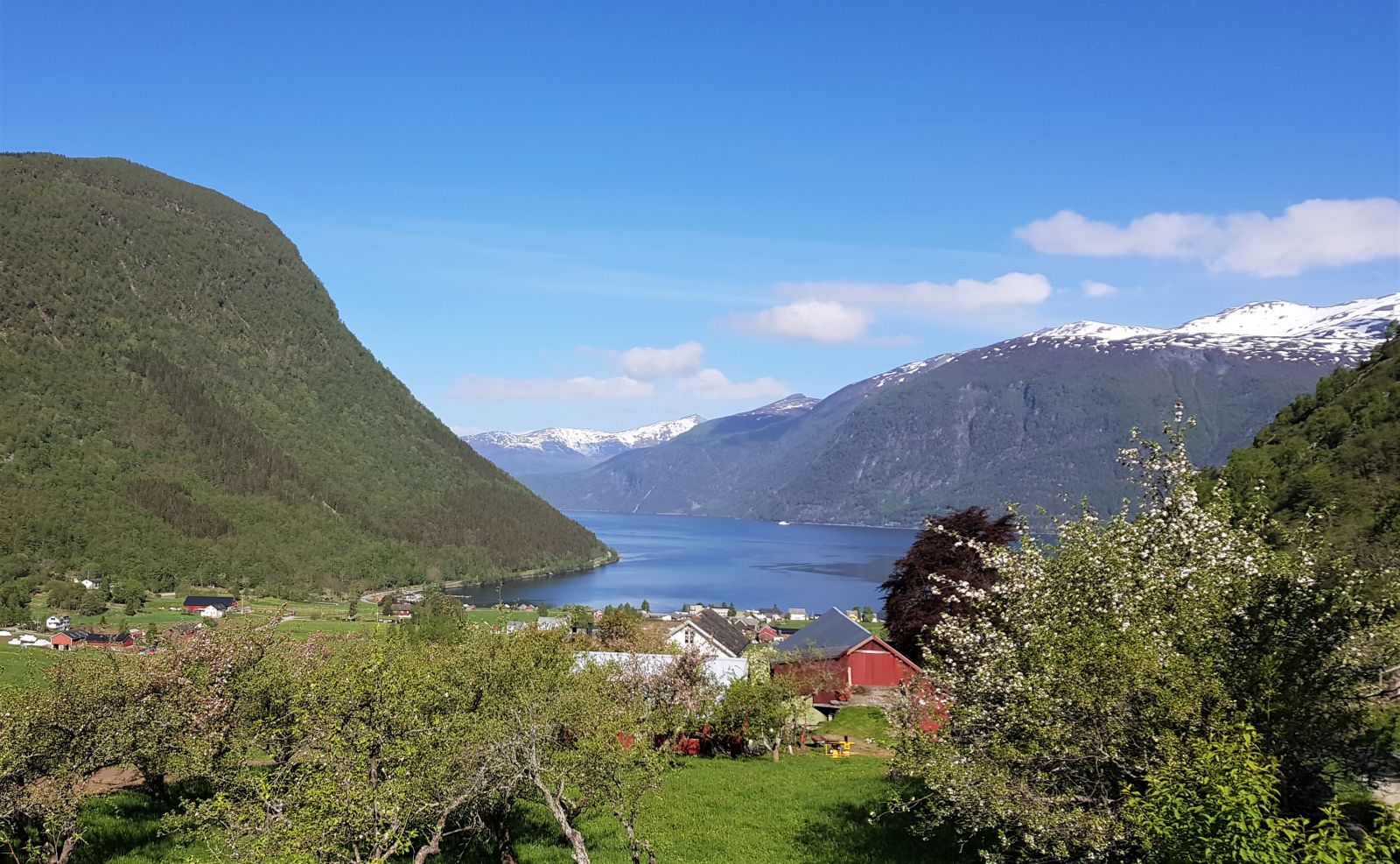
Dale and Kjellsura are idyllic hiking areas that are very popular among the locals. A hike to the trail postbox in Kjellsura is short and easily accessible from several points in the village. The trail described here has the starting point at the old priest’s house that you will see upon arriving in the village of Engeset/Innset.
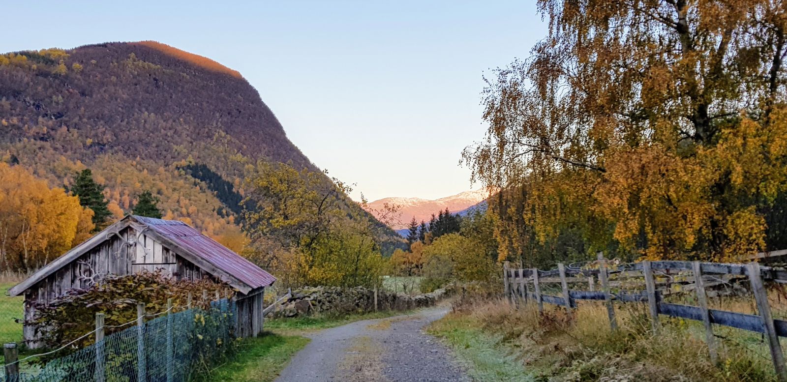
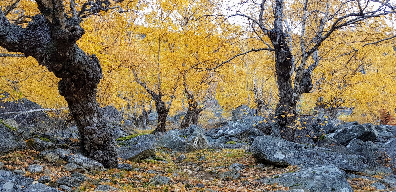
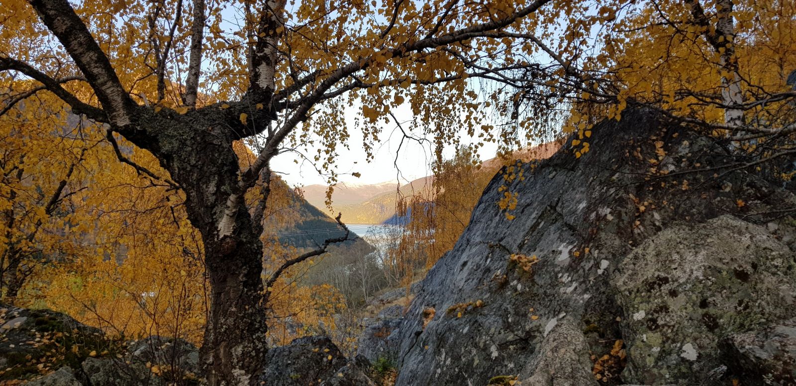
The trail starts at the old priest’s house in Engeset/Innset. You can park your car to the left of the stabbur, the traditional storage house for food. Start by walking back east over the bridge towards Fossheim. Follow the gravel road that runs along the hillside above the houses in Fossheim. Keep following this road as it gradually runs downhill in idyllic surroundings until you walk past a cabin on your left. About 150 m after the cabin, you will see a gate on your right with a sign that reads “Dikksteinen”. Walk through the gate and follow the path through a steeper terrain. The area you walk through is in fact a massive old scree slope with boulders. It was also used as a pasture for horses, sheep, and goats before, but there are few animals here today. The large birch trees in Kjellsura have a specific shape because they used to be pollarded. Thin branches of birch trees were dried and used as fodder to feed livestock. The scree area is a nice place for children where they can climb and play hide-and-seek. Walk straight up from the gate for about 200 m. The path is marked with white “D” letters. You will find the trail postbox by a group of large stones. The view of the surrounding mountains is great, but the fjord view is slightly hidden behind the birch forest. To get a better view over the village, you can return to the gravel road and take the right turn to Dale. From here, you will get a good view of both the village and the fjord. At this point, you can either follow the same route back to the priest’s house or do a loop trail by walking further along the asphalt road through the farms in Dale. In the village of Dale, you can visit both the brewery Tonga Gardsbryggeri and the Dale Mining Museum when they are open. Once you reach the junction at the main road, you can either turn left and follow the rural road for about 1.5 km until you come back to the priest’s house or walk towards the fjord and around the entire village.
Drive in the direction of Norddal for about 5 km from the ferry terminal in Eidsdal. Take the right turn into the village by the convenience store and drive for about 2 km before turning right over a bridge. The old priest’s house, which also used to be a monastery, will be on your right-hand side just after the bridge. You can park your car to the left of the stabbur, the traditional storage house for food.
Duration
1 t. 35 min.

Sesong
Spring, Summer, Autumn
Signage
Both signed and marked
| Surface type |
Distance |
| Asfalt |
2,7 |
| Grus |
1,2 |
| Sti |
0,2 |
Public transport is normally unavailable. A school bus passes Fossheim in the morning and afternoon.
There are many large stones in the Kjellsura area which came down as the result of a landslide that took place here several thousand years ago. The area was previously used for pollarding in order to provide livestock with more fodder. You can still see it in the shape of the large birch trees that have a thick trunk at the bottom and then split into many thin branches. There is also a legend connected to Kjellssteinen, the stone by the gravel road to Dale. The new mining museum, the brewery Tonga Gardsbryggeri, and Silo’n Pub are some of the attractions you can visit in the village of Dale.
 Driving directions
 Route data
GeoJSON
Route data
GeoJSON