The Trondheim Mail Route – Herdalsbrekka – Ljøbrekka
Stranda
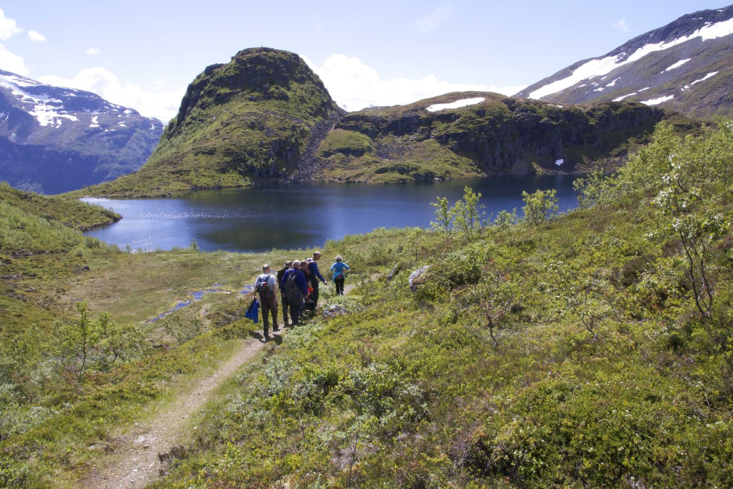
IMPORTANT MESSAGE regarding Ljøbrekka! Renovation works on the mail road over Ljøbrekka will start on 18 June. Two Sherpas and an excavator will start renovating the road up from the tunnel section on the side of Herdal. It is planned to renovate about a half of this side of the road this year, and the construction works are due to take place until October. Since it is very steep on this side, you are not allowed to walk up here while the construction works are in progress. In a worst-case scenario, that kind of traffic can create life-threatening situations. But the mail road is not closed. You can still walk from Ljøen to the top of Brekka on any day and at any time. You can also walk freely on any day from Herdalen almost up to the tunnel opening. The road will be closed by marking cords on both sites. But the entire section of the road over Ljøfjellet will be open every Sunday, because no works take place on that day. The road might also sometimes be open on Saturdays. When the road is open, the barriers are down and people are allowed to walk along the entire road on their own responsibility. For those who are fit enough, it is recommended to walk over Ljøfjellet on any day. There is a marked path from the lake to the top of Brekka. This path starts from Lake Fremste Herdalsvatnet, climbs steeply up on the ridge and continues further to the top of Brekka (Brekkeskaret). The path is well signposted with red marks and signs. You can start from the lake where you will see a sign that reads “Brekkeskaret”. You will then find two other signs with the same name along the way. If you start walking from the top of Brekka (Brekkeskaret), the starting point for you will be the sign that reads “Herdalen”. From here, follow the path with red markings and two signs until you come down to Lake Fremste Herdalsvatnet. The path up from and down to the lake is steep and a bit slippery, so it is certainly not for everyone. The easiest option is to walk up from Lake Fremste Herdalsvatnet.Note That the newly marked path goes through wonderful hiking terrain. The entire route is a mountain passage trail, so you need to arrange transportation on the other side of the mountain (either Herdalen or Ljøen). But you can also start from either the Ljøen or the Herdalen side and walk the same way back if you do not manage to arrange transportation. There are many parking spaces on both starting point. This is a fantastic mountain trail with rich cultural and historical background. The trail follows the Trondheim Mail Route which was established by the royal decree of 13 May 1785. This was the route that postmen took as part of weekly postal service between Bjørgvin (Bergen) and Nidaros (Trondheim). The road was actively used by postmen until the 1860s when steamboats took over mail transportation.
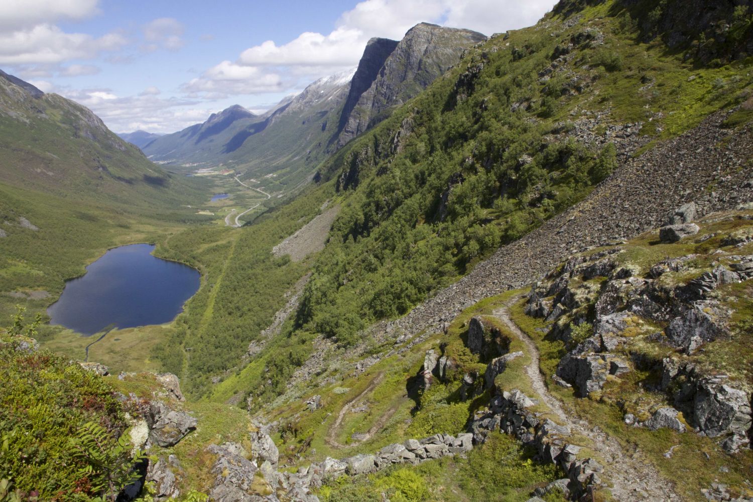
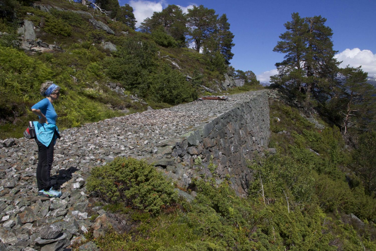
Start walking from the car park in Herdalen and follow a gravel hiking path past a large sign that reads “Den Trondhjemske postvei” (“The Trondheim Mail Route”). After about 150 to 200 metres, the path will turn left. This is where you enter the original mail road. If you turn around and look to the north, you will see the contour of the old mail road through Strandadalen. Follow the road until you reach Lake Herdalsvatnet/Brekkevatnet and walk past the lake. You will see that there are many shortcuts and other small paths along the way. But you need to keep to the original path. After walking for a while, you will see the remains of construction barracks and an unfinished section of a national road to Sykkylven from the 1930s. It will now start to get slightly steeper, but the mail road winds up the mountain side in an elegant manner all the way to Lake Kremmarvatnet. Take a detour here and follow one of the paths that go left near Lake Kremmervatnet. This is a must. You will be rewarded with a superb view of Geirangerfjorden which is also included into the World Heritage Sites list. Go back to Lake Kremmarvatnet and continue following the mail road along another lake which is located at 739 metres above sea level and around Mount Sætrenibba until you come to Ljøsætra. From here, follow the path all the way down to the county road. You will see dry masonry structures from the unfinished road project as you walk between Ljøsætra and the national road.
The trail ends near a tunnel section on the side of Ljøen. From here, you need to either have a planned transportation option back to the starting point or walk the same way back over the mountain. The tunnel is very dark and narrow and cycling through it is not recommended.
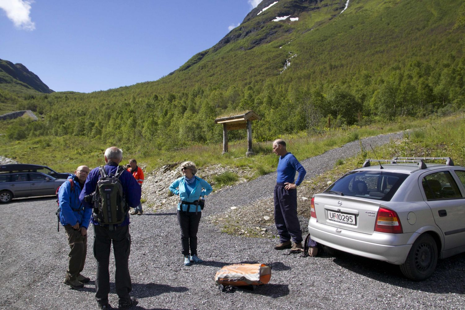
Park your car at the large designated car park before the Ljøen Tunnel in Herdalen. The car park is clearly marked with signs set up along the county road from Stranda. The Stikk Ut trail is a mountain passage, so you need to ensure you have transportation options from the outset.