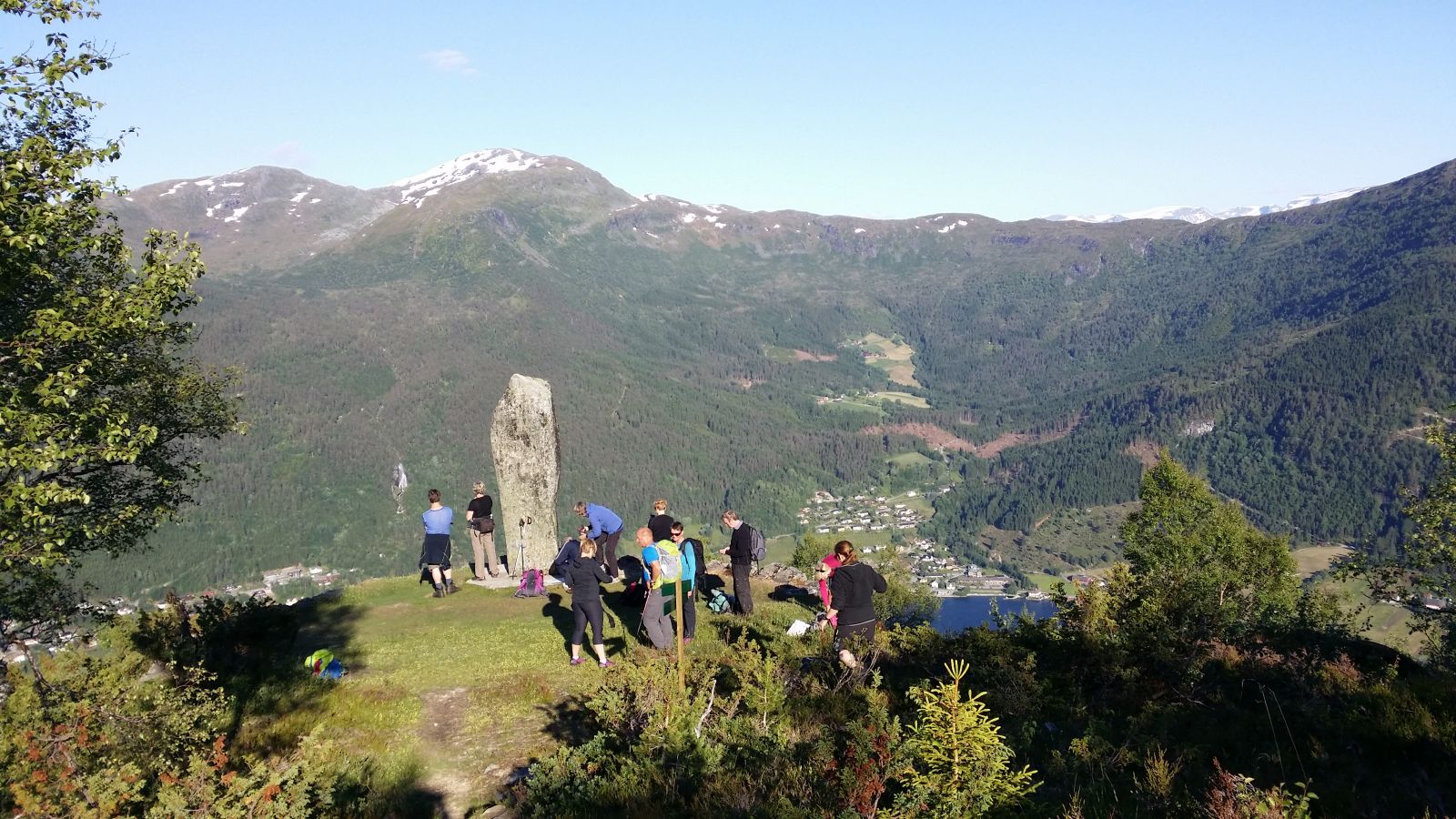
Ytrehornsnakken is an amazing viewing point! In the old days, a beacon fire used to be lit on this hilltop to warn of a danger. The cabin at the hilltop, Vetestova, is open for everyone to visit. Many people walk up to Ytrehornsnakken as a final destination, but Storetua is another easily accessible scenic destination for those who want a longer hike.
Route description
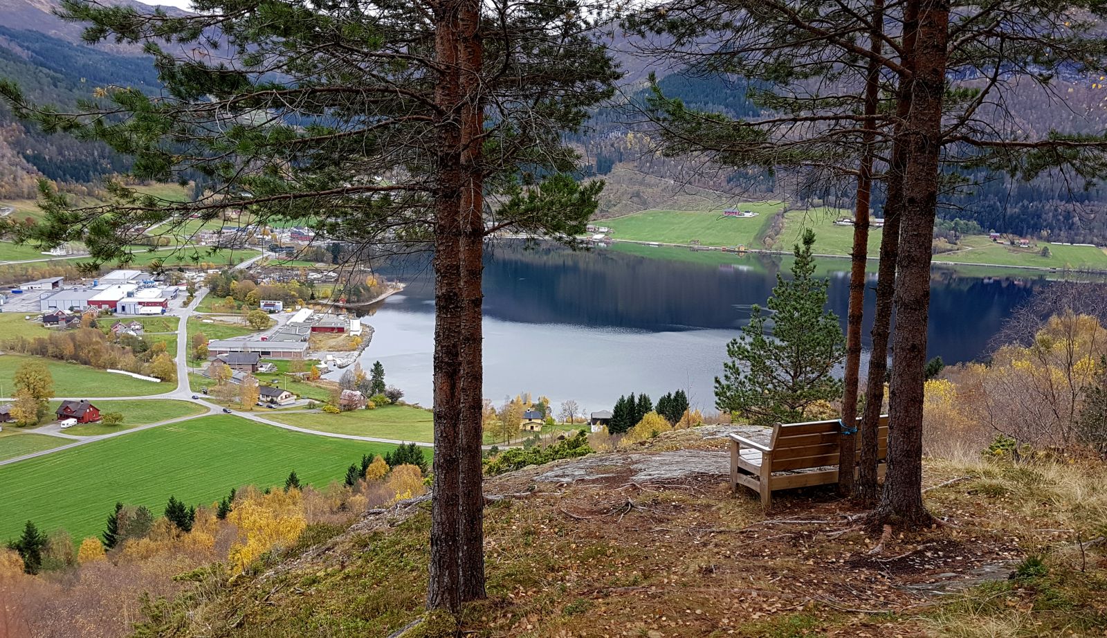
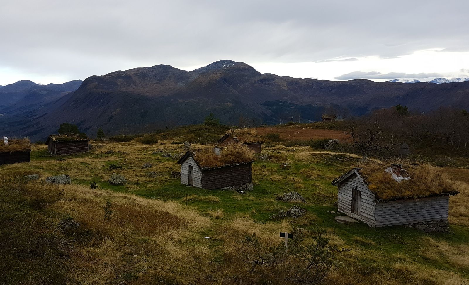
Follow the clearly defined path from the starting point up to Ytrehornsnakken. There are several rest areas along the way. Among others, you will walk past Dagsturhytta, the only day trip cabin of its kind in Møre and Romsdal County (61°58'33.82"N 6°30'20.12"E)° 30.369'). From here, you will get a scenic view of the village of Grodås and other places. The path up to Ytrehornsnakken is fairly steep but there are no exposed sections to negotiate. Once you reach Ytrehornsnakken, take your time to enjoy the view and visit both the Vetestova cabin and the mountain farm that is located up here. The hike further to Storevarden is fairly easy. You will walk past the mountain farm and through a birch forest. The path follows the route called “Hornindal Rundt” (Eng. Around Hornindal) with white waymarks. Just before you reach Storevarden, remember to turn left. The path here is not so clearly defined, but it is partially marked with red paint on the way up to Storevarden. Enjoy an amazing view of Lake Hornindalsvatnet!
Access and parking
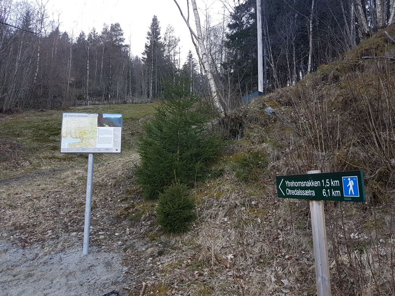
From Volda (E39): Just after the church and before the centre of Grodås, turn off to FV664 towards Otterdal. Drive past the campsite and the furniture factory JE Ekornes. You will come to a junction with a sign for Ytrehornsnakken. Follow this sign until you reach the starting point of the trail. You will see a sign and a map of the area here.
Park your car at the starting point of the hike. Alternatively, you can park by the school (please follow the link to Dagsturhytta in the description of this hike).
Hiking route
Blue
Distance
6,28 km both ways
Elevation
692 m
Duration
3 t. 20 min.
Sesong
Autumn
Highest Point
723 masl
Map route
Surface type
Distance
Sti
6,3
Public transport
Bus service between Volda and Stryn or Ålesund and Stryn. Get off the bus in the centre of Grodås and walk to the starting point of the hike.
Please visit http://frammr.no/ to check the bus routes.
Other
This trail is part of the Hornindal Rundt route and is fairly well marked with white paint.
http://www.hornindalrundt.no/