Vikholmen from Nørvasundet
Ålesund
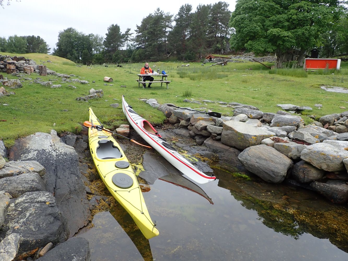
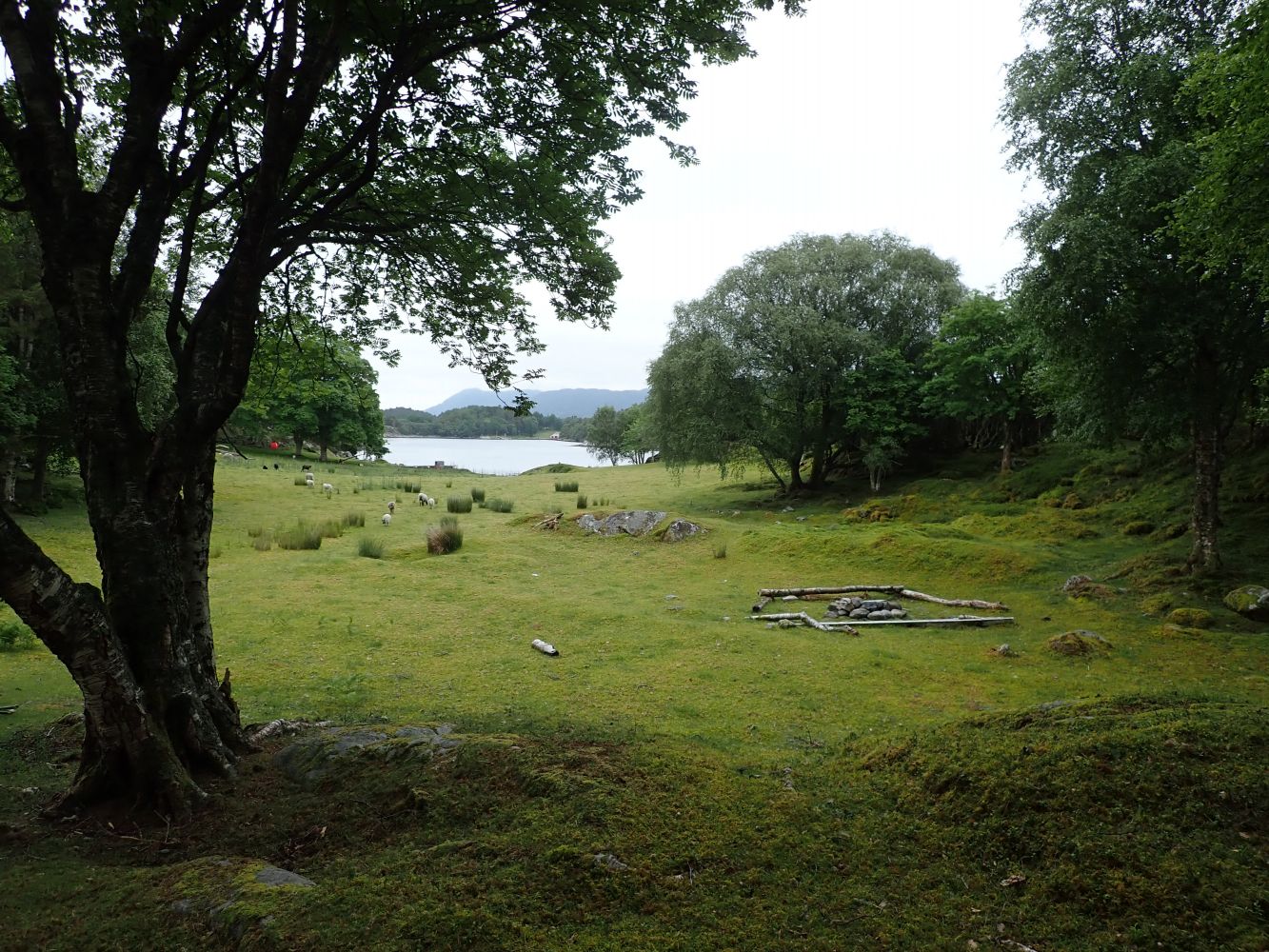
Paddling route from Nørvasundet past Svinøya to Vikholmen. Vikholmen and Lauvholmen are both state-protected areas. Vikholmen has a guest dock, toilets and benches. There is a small barn and animals graze in the open field.
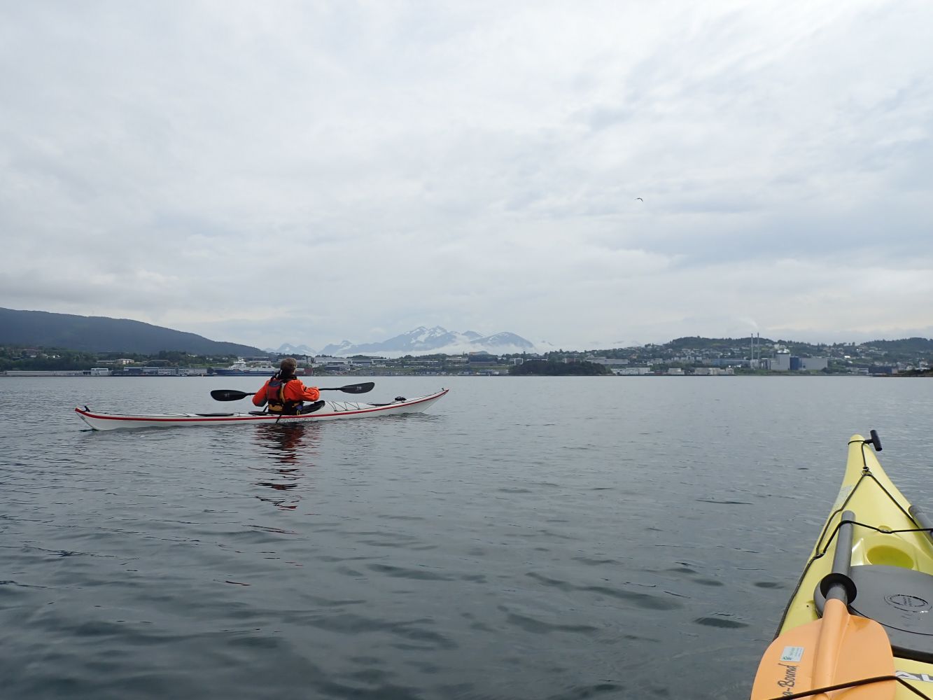
Paddle out and around the leisure boat harbour and down to Gåseidholmane. From there, set course northward and cross the sound in the direction of Larsgården. Paddle eastward along the coast until you reach the peninsula and can see the island of Svinøya and the Svinøy islets. Set course towards the south side of Svinøyholmen and cross the fjord. Here you will cross the sea lane and shipping lane to Breivika/Olsvika. Once you pass the Svinøy islets, continue paddling along the island until you near Sommarneset. From here, cross over to the south side of Kalven, a smaller island, before continuing along the south side of Lille Kalvøya. At the furthest eastern point of Lille Kalvøya, you will see Vikholmen across Kalvøysundet. Cross the sound and continue along the south side of Vikholmen until you reach a large field on the east side of the island. This is a good place to go ashore. There are a few benches down by the sea. You can set up tents or hang hammocks in the woods further in on the island. There are public toilets behind a small barn with a stone and peat roof.
Svinøya, which you pass on your route, is state protected and has facilities including toilets, a campfire pit and guest docks. It is worth a stop, or you can spend the night here.
Parking and launching at the Gåseidet leisure boat harbour. You can drive into the harbour area to unload your kayak and equipment. But you should park at the parking area outside the harbour area (before the underpass below the main road).
Duration
2 t. 35 min.

Sesong
Spring, Summer, Autumn
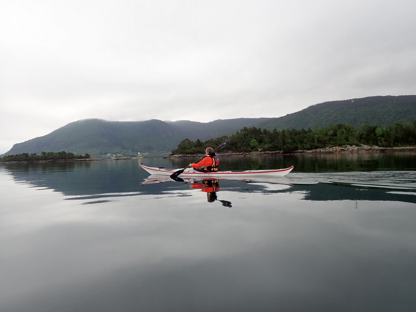
Short paddling route along Ellingsøyfjord in the transition between partly sheltered area and more open fjord is exposed to westerly and northwesterly winds. Conditions may therefore quickly change according to wind and sea. Expect other boat traffic. The paddling route crosses the sea lane for leisure boat traffic.
 Driving directions
 Route data
GeoJSON
Route data
GeoJSON