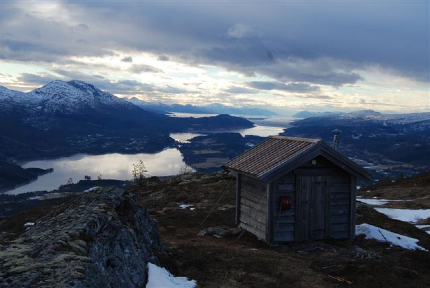
Mount Vetafjellet is worth a visit. You will get a great view both to parts of Gjemnes and Molde from here.
The path up to Vetafjellet starts from the highest point of the forest road. The path goes through marshy terrain and is well waymarked.
Turn off County Road 62 (Fv62) in Gussiåsen at the sign that reads “Fosterlåge”. Follow the road up to the toll box. If you choose to park your car where the toll road starts, you can walk further following the forest road for about 1 km up to the highest point of the road. You will see a sign pointing to the path to Mount Vetafjellet here.
Find a suitable parking space that does not prevent other cars from moving along the forest road.
Duration
2 t. 15 min.

| Surface type |
Distance |
| Sti |
2,5 |
There is a bus stop along County Road 62 (Fv62) in Gussiåsen.
 Driving directions
 Route data
GeoJSON
Route data
GeoJSON