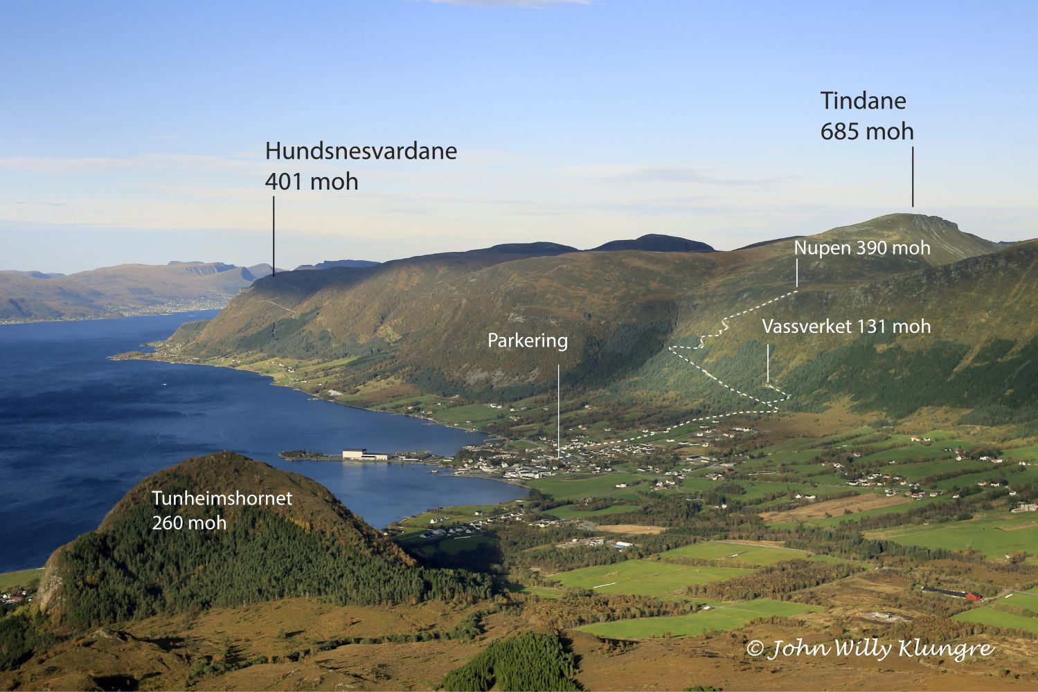
Vassverket – Fiskå
Vanylven
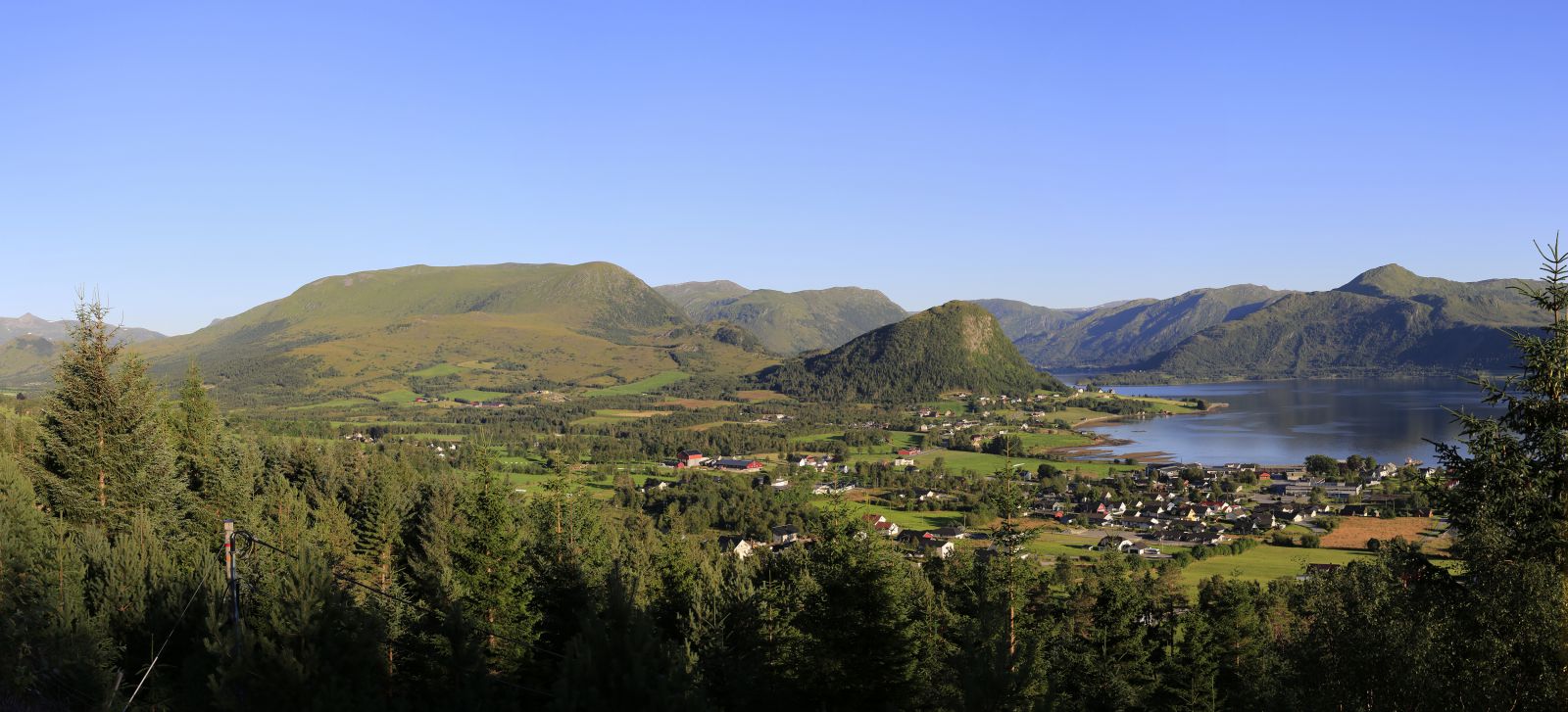
This trail is perfect for an afternoon walk or for one of the first family hikes with children. You will walk along the road the entire time, so the trail is also stroller-friendly. From the area around Vassverket (the water plant), you will get a scenic view of Fiskå and Slagnes. Here, you will also find a table and a small shelter where you can hide from the rain.
Park your car by Combisenteret / the City Hall in Fiskå. From here, you can see the sod roof of the water plant up on the mountainside. Cross the national road and turn left towards the footpath after about 100 metres. Turn right at the green sign and follow the asphalt road towards the mountain. After you pass the first barn on your left, continue walking up. The road you walk on will soon change to gravel. In the forest, the gravel road splits in two. At the junction, follow the green arrow pointing right (alternatively, follow the blue arrow if you want to go to Nupen – please see a separate trail description). You will see the trail destination after the next turn.
Follow the signs to the centre of Fiskå and park your car by Combisenteret / the City Hall.
Duration
1 t. 0 min

Sesong
Spring, Summer, Autumn
| Surface type |
Distance |
| Asfalt |
1,5 |
| Grus |
1 |
På tur i Vanylven (Eng. Hiking in Vanylven) – can be purchased at local shops and petrol stations.
 Driving directions
 Route data
GeoJSON
Route data
GeoJSON