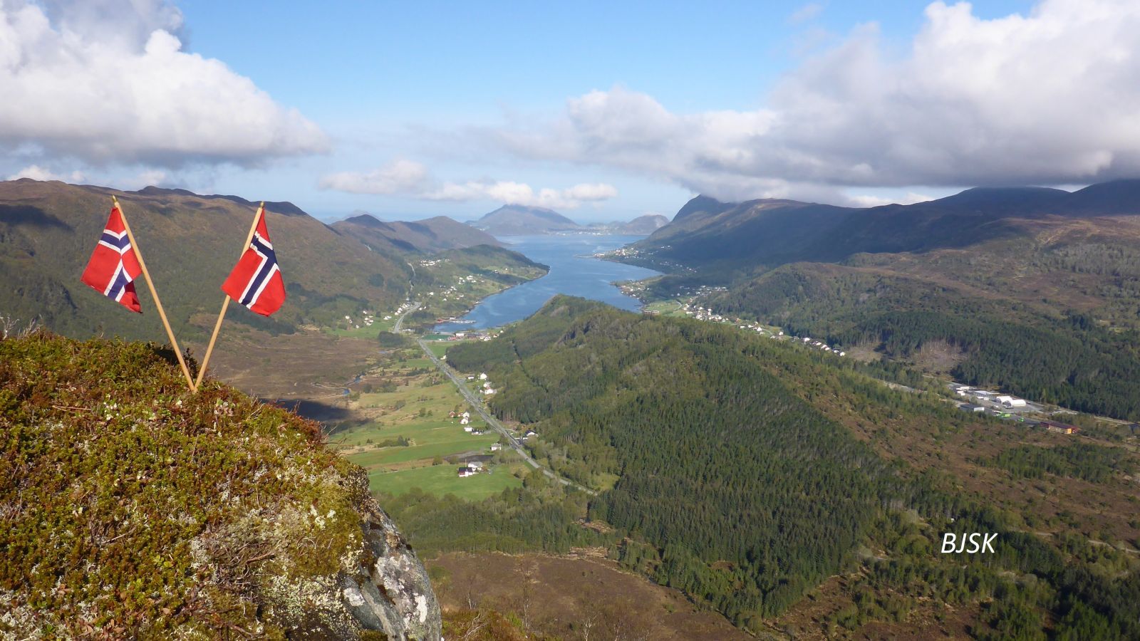
This trail offers scenic views of Gursken, Sande, Herøy, Ulstein, and the mountains of Sunnmøre and Vanylven. Parts of the trail follow Kyrkjevegen, an old road to the church in Rovde that was used back in the day when there were no other churches in the area. People used to take this road, go down to Tødeneset, and row over to Rovde. You will also walk past a small cave on your way to Vasshornet. Two sports associations, Gursken IL and Gurskøy IL, set up their trail posts on the peak.
The trail begins on the east side of the gravel pit in Almestad, continues through the forest, runs over the river and marshes, and climbs up Kyrkjevegen Road. Once you have passed the steep rocky slopes at the top of Kyrkjevegen, turn left at the sign for Vasshornet/Slokevatnet. There is a small cave behind a large rock about 80 m above the sign. The entrance to the cave is on the east side of the rock. The path continues over some marshes, climbs steeply up the ridge, and follows it all the way up to the peak. There are some steep sections after you climb the ridge.
The starting point of this trail is Almestad in Gursken. Turn off County Road 61 (FV61) about 100 m east of the 60 km/h speed zone sign in Almestad. Drive down a tractor road to a gravel pit and park your car there.
Duration
2 t. 5 min

Sesong
Spring, Summer, Autumn
Signage
Both signed and marked
| Surface type |
Distance |
| Sti |
4 |
Hiking map of Ytre Søre Sunnmøre, map 1119 III Vanylven, sunnmorskart.no
 Driving directions
 Route data
GeoJSON
Route data
GeoJSON