Vassdalsskaret from Vallasetrevegen
Ørsta
A nice route on even ground through Nupadalen valley.
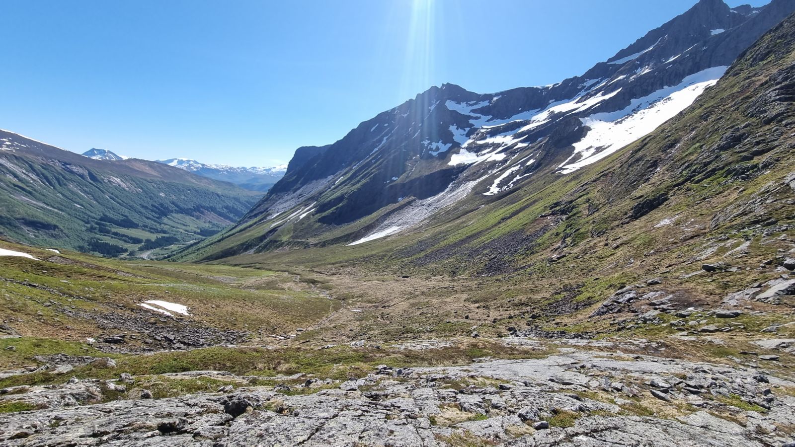
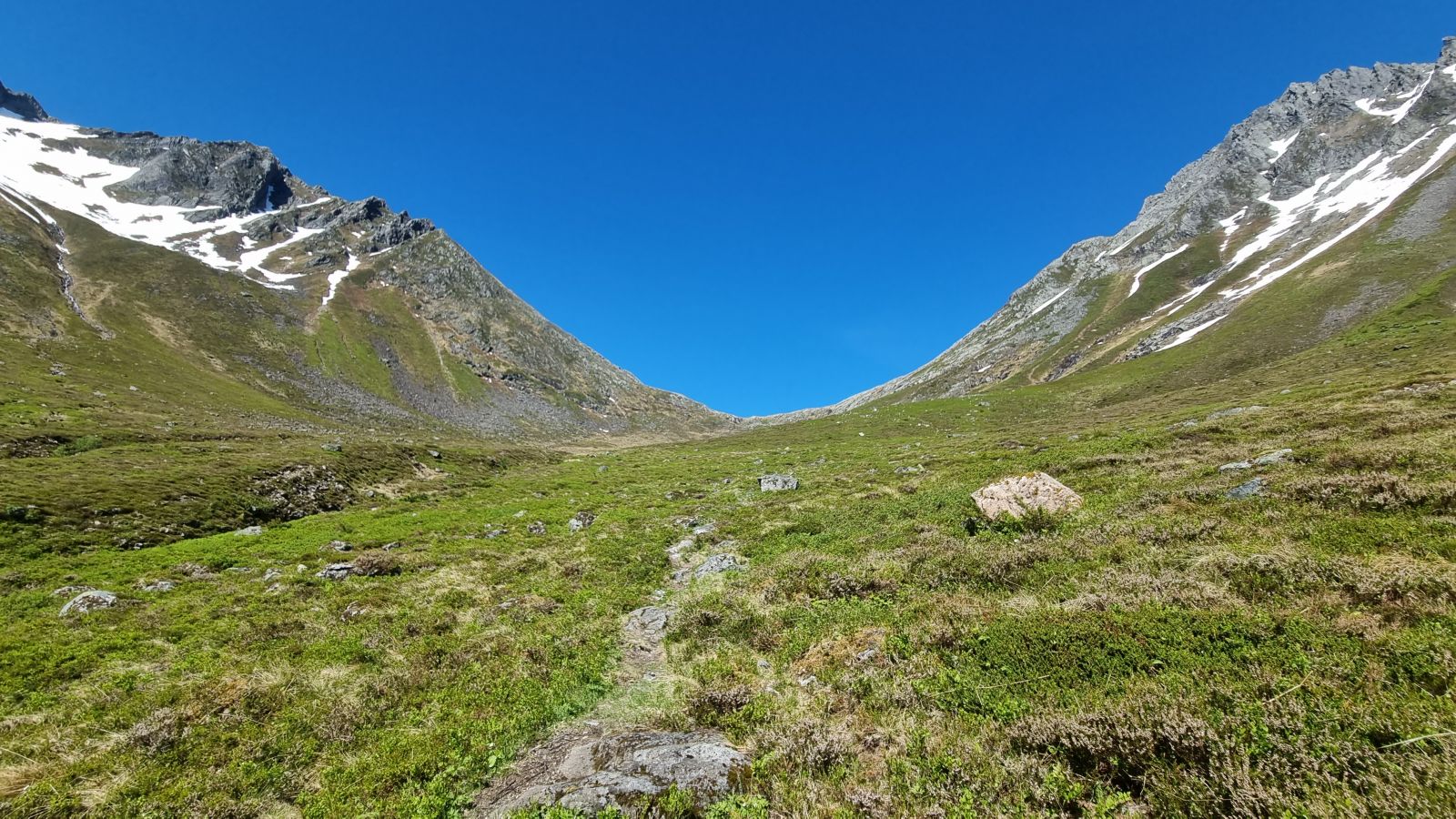
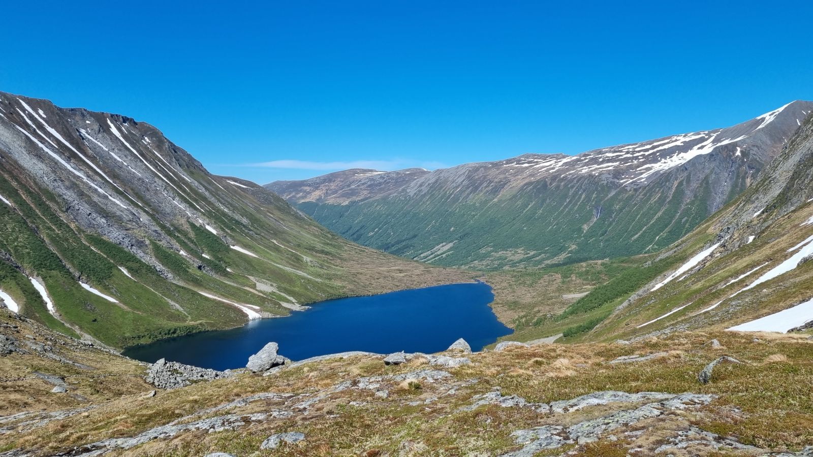
From the starting point, follow Vallasetervegen all the way until you come to a river below the waterfall, with a concrete bridge across it. Shortly after the bridge, you will see signs to the left with "Vassdalsskaret 1.8 km" and "Årsetstøylen 4.5km". Continue up to the forest and follow the trail. The trail has a slight and comfortable incline through heather and grass almost all the way. Several places to fill your water bottle. There are a few poorly defined sections here and there further up in the valley, but it is easy to find them again if you just take your time. The last 50 metres in altitude have some rocky sections, but you won't have any trouble following the trail as long as you head towards the top. At the top, you can look down on Vassdalsvatnet lake. To the east you can see the mountain peak of Vassdalstinden, and to the southwest, you'll see the back of the mountains Saudehornet and Kyrkjetinden. Here you can continue the trip to Årsetstøylen, and possibly return over Bjørnaskaret and down again to Vallasetra. On the way down, the trail splits in certain places, especially at the altitude of 500 masl, and it is easy to end up on the wrong trail. Stay close to the river to avoid problems. There is some mobile signal reception the entire way, but very weak reception towards the end.
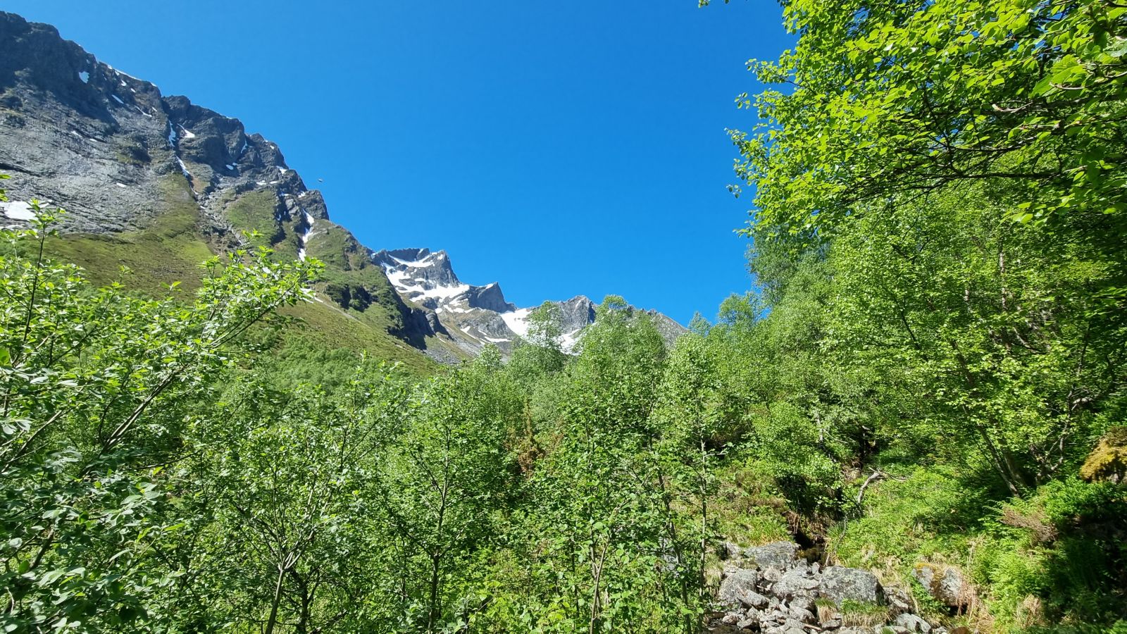
Follow Engesetvegen to the end from the Kiwi supermarket in Vallabøen. The road is asphalted all the way to the last farm on the road. There is a toll gate where the gravel road to Vallasetervegen begins (NOK 30 in 2022). After 500 m, you can park on the gravel parking area before the gate, or drive further up. There is plenty of room for several cars, but this is a popular hiking destination when the weather is good. The trail in the route description starts on a path with a large rock in the middle and a sign stating "Gamlesetervegen". This trail is also suitable for cyclists.
Duration
2 t

Sesong
Spring, Summer, Autumn
Mobile coverage
Partially
| Surface type |
Distance |
| Grus |
0,5 |
| Sti |
2,35 |
FRAM route 342 (school bus) drives from Ørsta bus station and stops at Asko (Kiwi supermarket). It is otherwise a 1.3 km walk/cycle from the bus station to Kiwi supermarket, and 3.5 km to the starting point of the route.
Vipps, cash (NOK 30 in 2022)
 Driving directions
 Route data
GeoJSON
Route data
GeoJSON