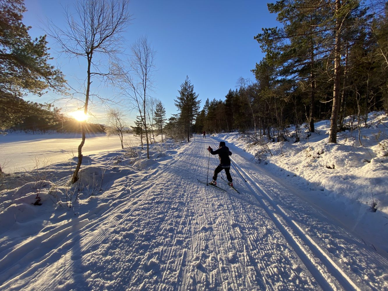
The trail starts at the car park in Berg. Follow the ski trail along the southern side of Lake Vikvatnet and further up to the mountain pass Vass-skaret. You can also follow the ski trail further to Skålseterveien Road as it runs along the northern side of Lake Vikvatnet until you come back to Berg.
The trail starts in Berg. Turn off RV64 at the former Nesjestranda Upper Secondary School and follow Bergsvikveien Road for about 1 km. Turn right and park your car at the start of the cross-country ski trail. This is where the ski trip starts.
Note: the road up is a steep municipal road where good winter tyres will often be necessary.