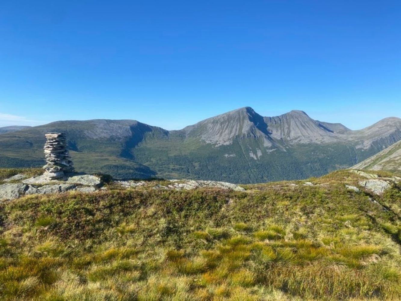
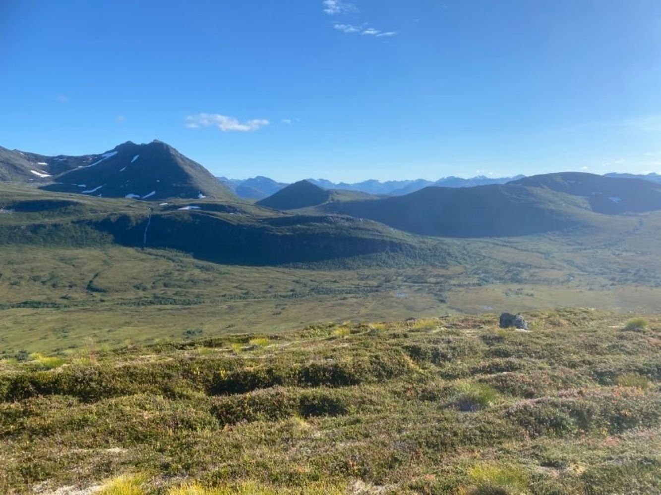
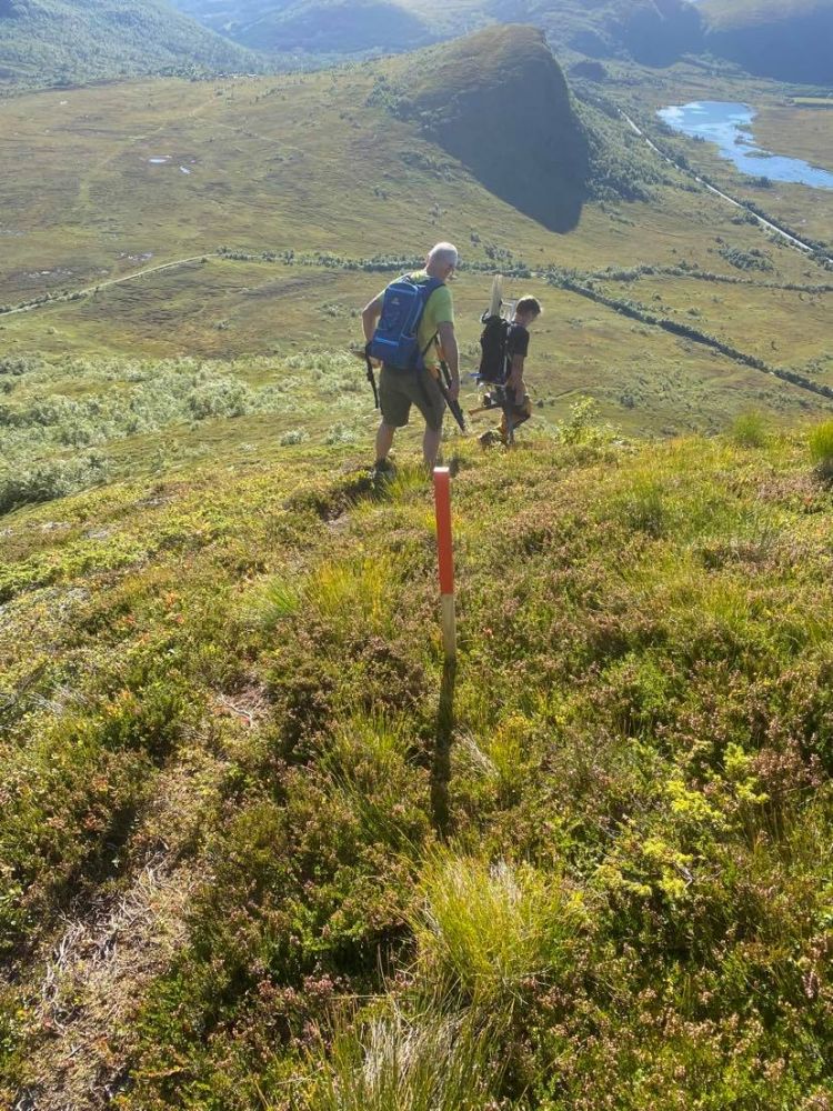
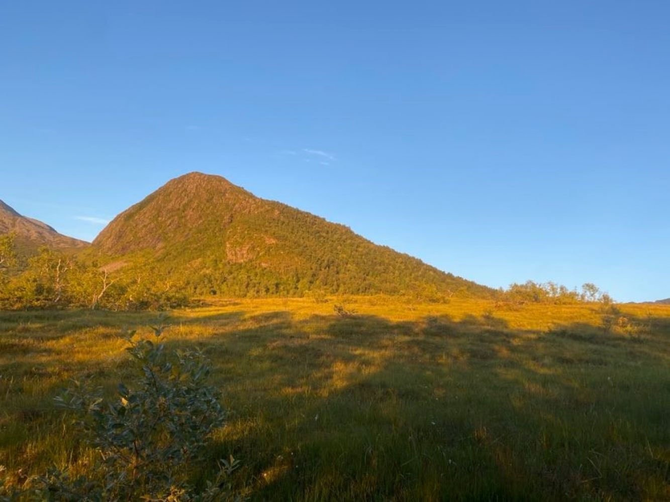
This trail covers various types of terrain. It starts along a gravel road, continues over a marsh, then runs through a dense mixed forest, and finally takes you up to the flat-topped summit of Varguraksla.
Follow the gravel road up towards Måslia. Once the road flattens out, you will see waymarks pointing to Varguraksla on your left-hand side. Walk across the marsh facing the edge of the forest. From here, a newly marked path takes you through a dense mixed forest which opens up as the path turns towards the ridge of the mountain. The path follows the edge quite closely here, but you have enough space on your right if you feel uncomfortable walking too close to the steep mountainside. The ridge is wide and safe to walk on. The flat mountaintop offers plenty of space to enjoy the fantastic view, but do not approach the edge too closely since the mountainside is extremely steep.
Park on Ørskogfjellet. The trail is marked from the toilet building at the car park.
Duration
2 t. 35 min.

Sesong
Spring, Summer, Autumn
Signage
Both signed and marked
| Surface type |
Distance |
| Grus |
3,2 |
| Sti |
2,8 |
Timeekspressen buses run every hour.
 Driving directions
 Route data
GeoJSON
Route data
GeoJSON