Varghaugen/Kvithammaren
Molde
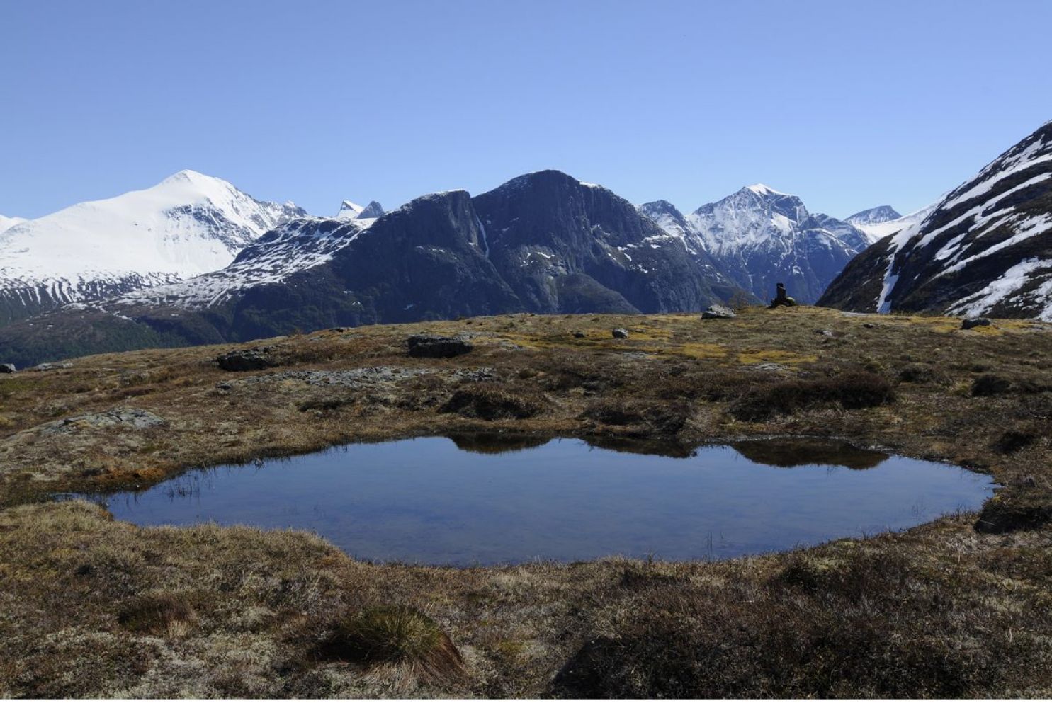
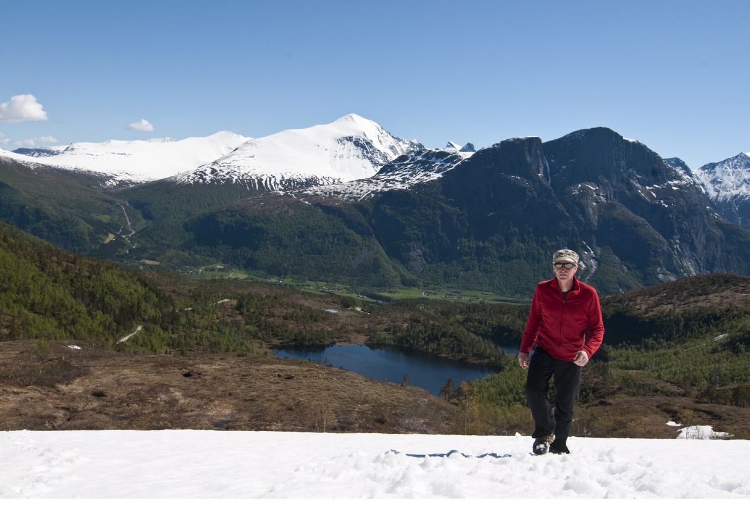
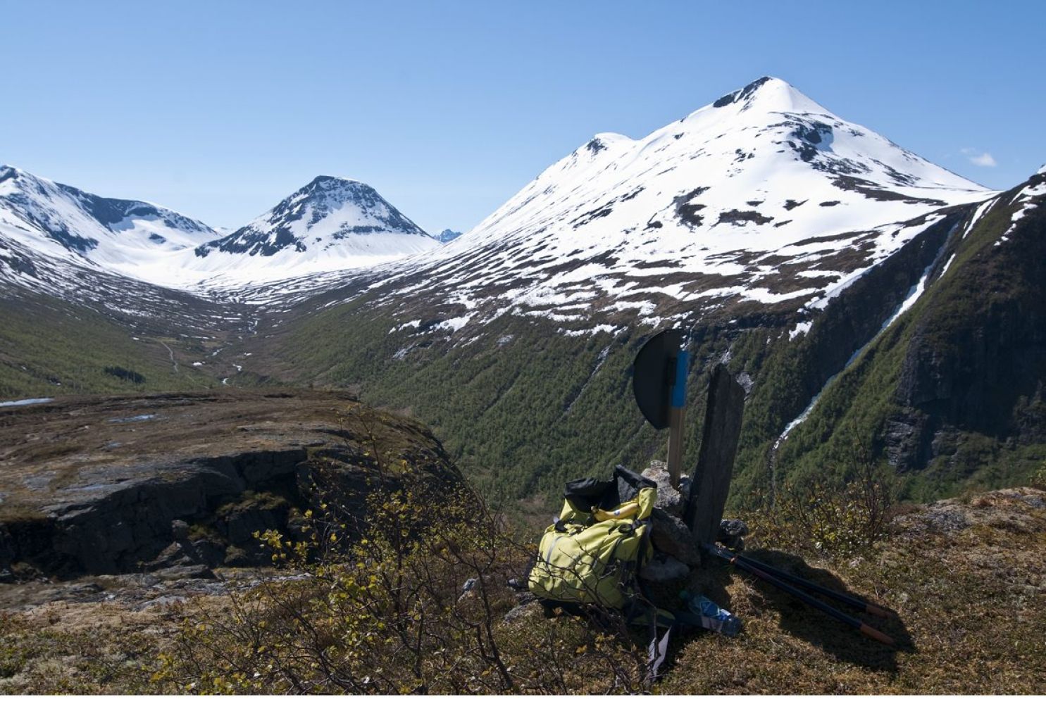
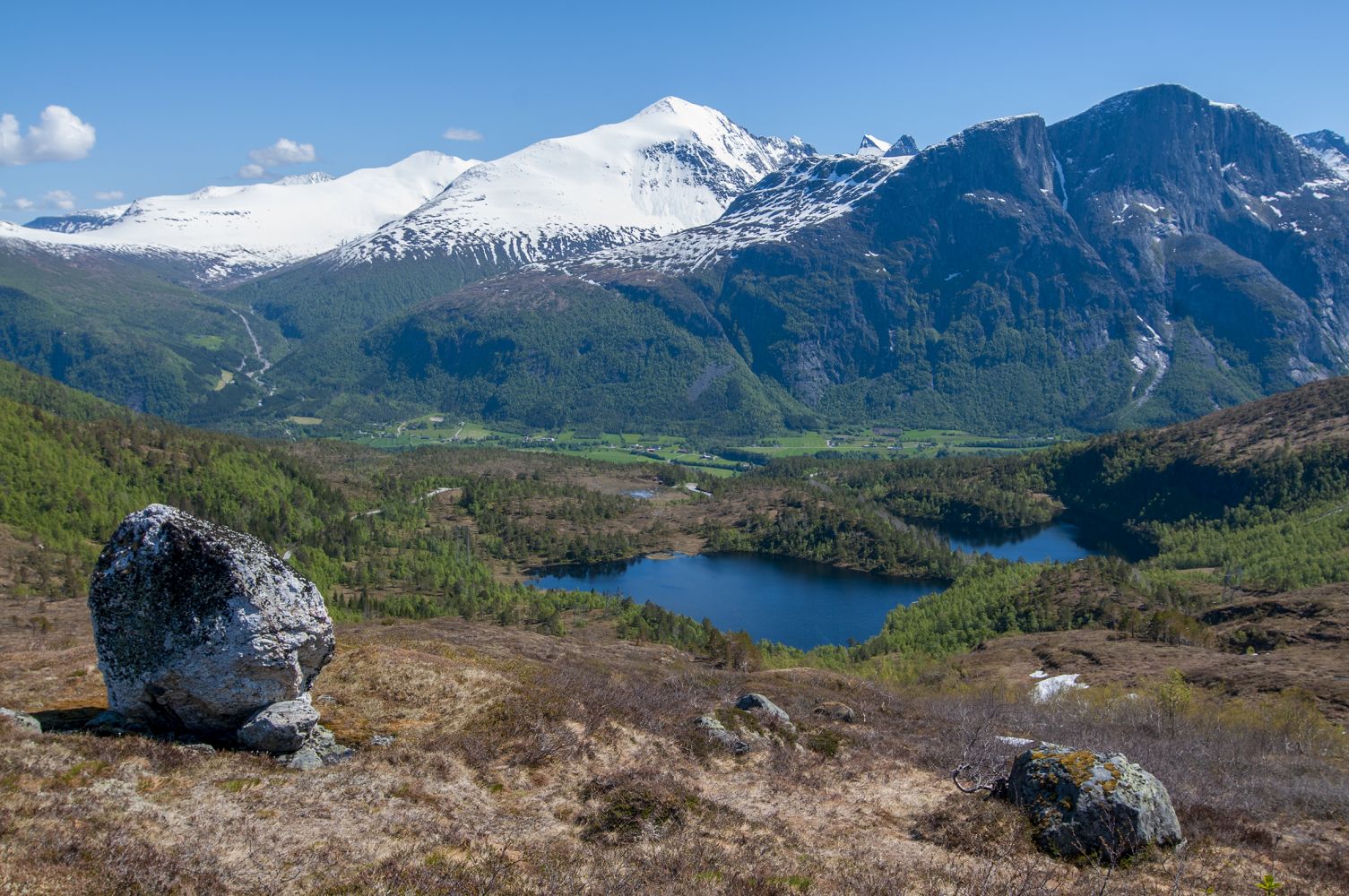
This short and fairly easy trail has only a gentle ascent, but offers a fantastic view. The village of Eresfjord and the majestic Mount Skjorta will be behind you. The Håndedalen Valley stretches in the direction of Melkallen in the south. You will see the peaks Kalvgjeldtind and Kjøvhaugen in the east and the Vistdalen Valley in the northwest. The destination of this trail is called Vargehaugen on the side of Eresfjord, while on the side of the Vistdalen Valley, it has the name “Kvithammaren” (Nor. “the White Cliff”) because of the large light-coloured overhanging rock face.
Vargehaugen/Kvithammaren, Vistdalsheia – 642 m a.s.l. The path begins to the left of the stream Sulgrova and runs through a young spruce forest. Soon after that, you will enter open terrain. Follow blue waymarks and ridge formations with heath and solid rock surface as you walk slightly up to the left past a lone standing pine tree. Continue further up aiming for a large boulder that is clearly seen ahead of you. Once you have passed the boulder, you are just a short distance away from the top. Take a moment to enjoy the amazing view! If you walk a little further ahead, you will also get a view down over the Vistdalen Valley.
Follow RV660 to Eresfjord and turn off in the direction of Åndalsnes. Drive uphill past the car park near Husbysetra. You can park your car along the county road at the start of the path next to the stream called Sulgrova (you will see this name on the sign), but there is only a place for a maximum of three cars there. About a hundred metres further up, there is space for two or three more cars.
If both car parks are full, you will have to return to the car park by Husbysetra.
Please see the description above.