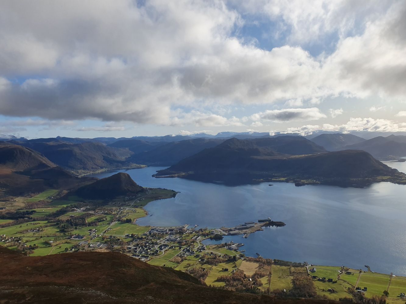
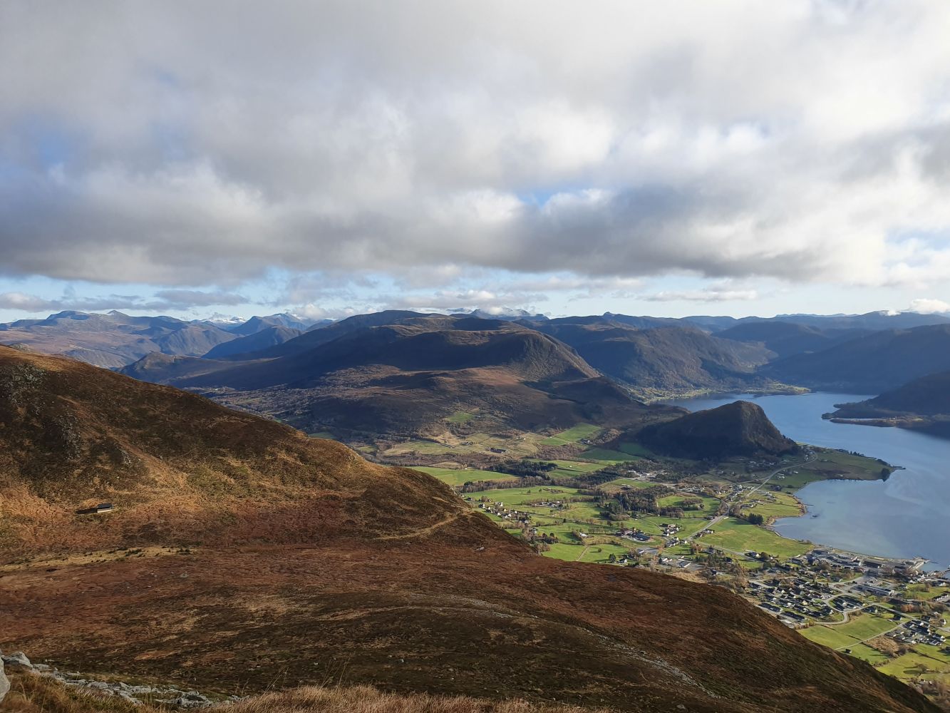
This is an easily accessible and popular fitness trail where you will quickly climb up a steep gravel road and then a path. You are rewarded by a fantastic view of Fiskå, the Syltefjord, Slagnes, and the Stadlandet Peninsula. You can also take several mountain hikes from Mount Vardehornet.
Begin by walking from the car park, cross the national road, and turn left towards the footpath after about 100 metres. Turn right at the blue sign and follow the asphalt road towards the mountain. After you pass the first barn on your left, continue walking up. The road you walk on will soon change to gravel. In the forest, the gravel road splits in two. Keep to the left and follow the blue arrow (if you turn right and follow the green arrow, you will come to Vassverket – please see a separate trail description). The gravel road zigzags up to the top, with the steepest slopes towards the end. When you reach the end of the gravel road, walk up the path that starts from there. You will soon reach Nupen. Continue along the path from Nupen in the direction of Lake Strandavatnet. The path splits in two before Strandavatnet. Turn left and take the path that climbs up to Vardehornet. It is well marked. The final section before the mountaintop is a little steep. Please be careful here. You will get a scenic view of Fiskå, Slagnes, and the Stadlandet Peninsula from the mountaintop.