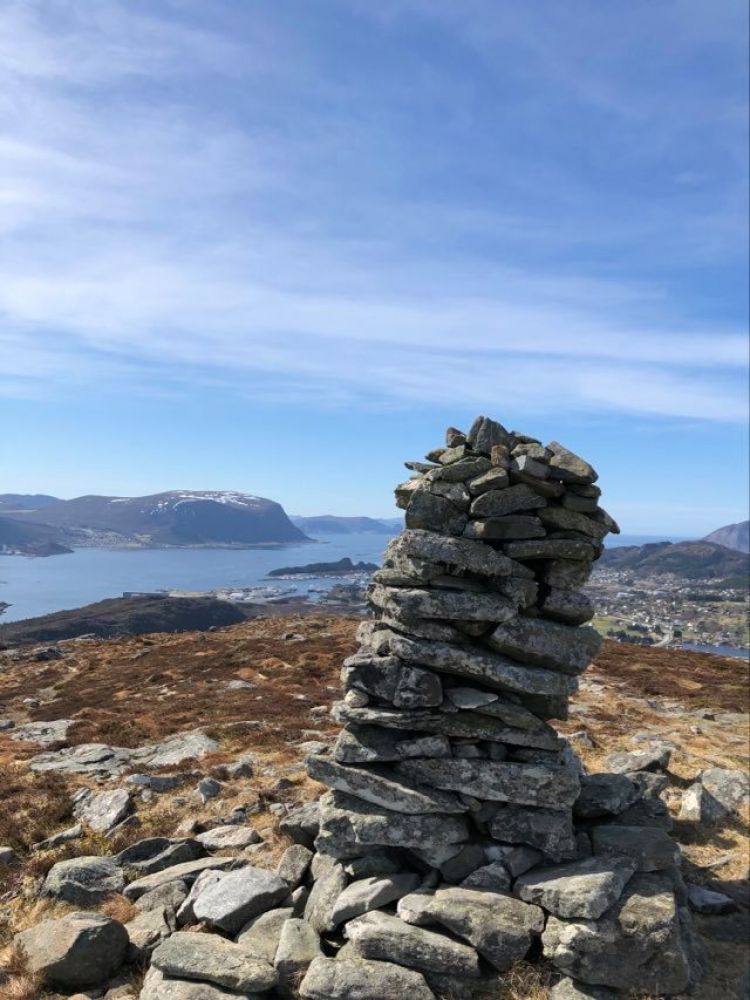
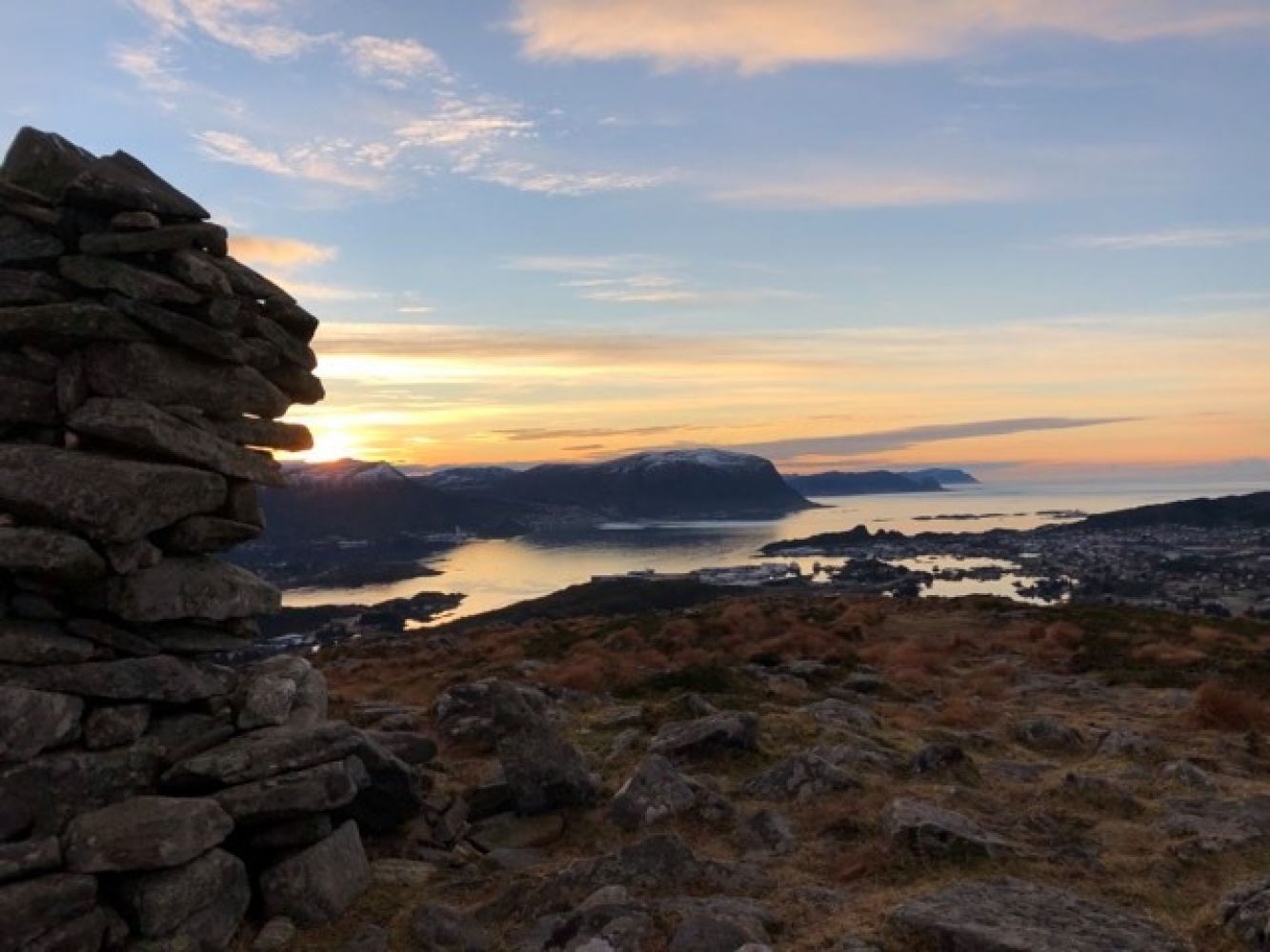
Vardeheida on Leinøya
Herøy
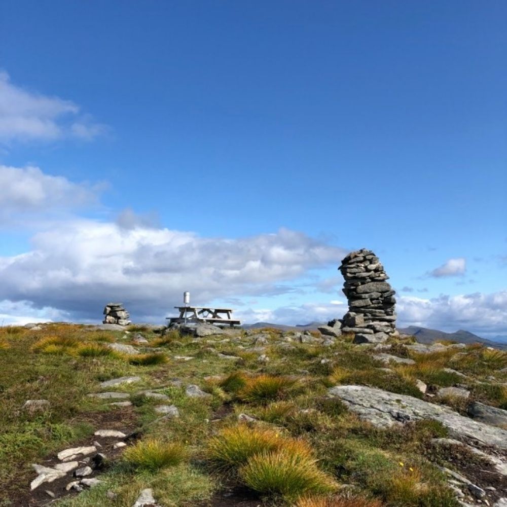
Vardeheida is one of the hiking destinations on the island of Leinøya and one of its southernmost peaks. You will enjoy amazing views along the entire trail and see Leinane, Nærøya, and Flusund from the destination point, Vardeheida. This can also be a great winter hike (remember a head torch).
The trail starts from the car park at Frøystadskaret. Follow the tractor road until you reach the water tower. Take the marked path on the eastern side of Lake Svartevatnet and continue up to the top of Vardeheida at 273 m a.s.l. You can also take a short detour west to Leinebjørnen at the height of 271.5 m a.s.l.
Drive along RV654 and turn off the main road at the car park in Frøystad, just before/after the exit road to Runde.