This is an easy hike that primarily covers dry terrain. The trail is well suited for running, and it can also be used by cyclists. In winter it is nice to go skiing here when there is enough snow. Once you reach the highest point of the trail, you will find a trail journal and benches to rest on. You will get a beautiful view of the ocean from there with the islands of Magerøya and Harøya further away.
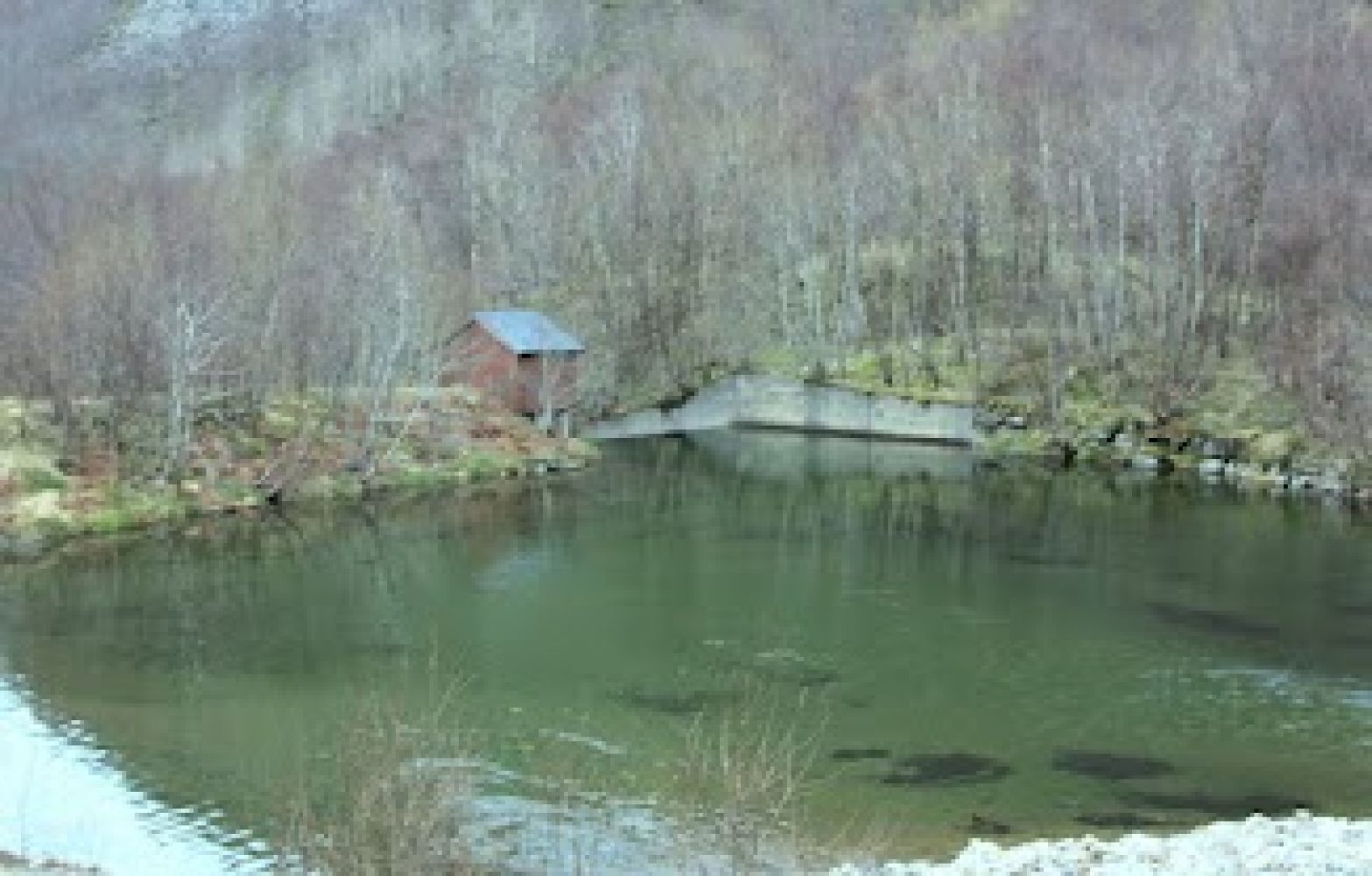
You will follow the tractor road during the entire hike. The road is primarily dry and nice to walk on. The road splits into two right after the car park. No matter which way you choose, you will come to a river with a bridge over it. You can relax at the rest area there and write your name in the trail journal. You can also continue walking further up towards Lake Mørkevatnet, but the terrain is a bit more challenging there.
Take the turn to the left right after the bus stop about 100 metres after the sign that reads Rakvåg (National Road 688) south of Molde.
You can park your car about 250 m from the main road. No parking fee applies.
Duration
1 t. 15 min.

Yes, it is possible to take a bus (there is a bus stop along the national road where you turn off the main road).
Midsund tourist map, Harøyfjorden tourist map
 Driving directions
 Route data
GeoJSON
Route data
GeoJSON