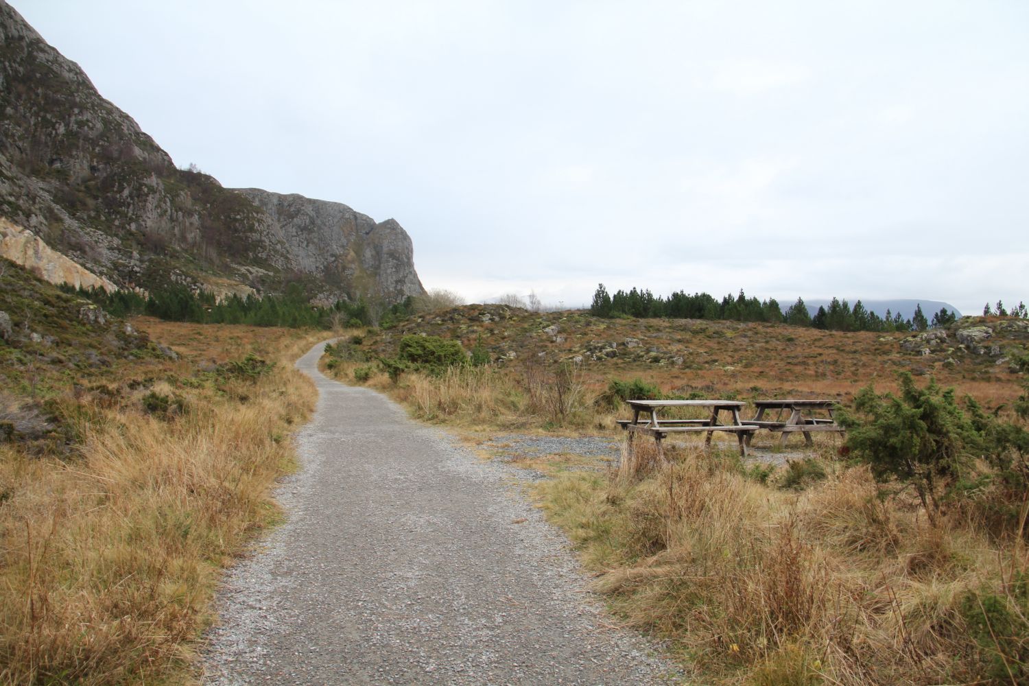
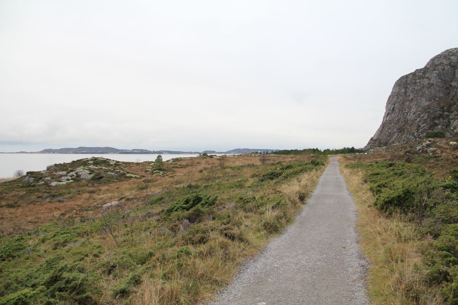
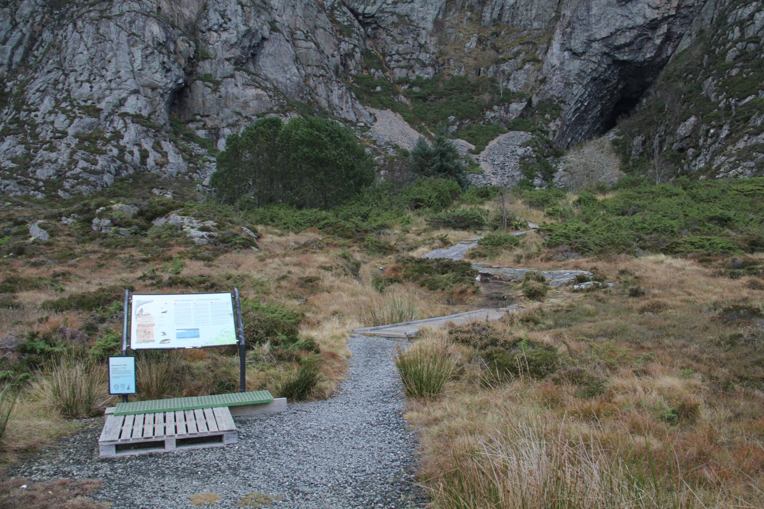
“At the foot of the mountain” is a nice hiking trail along the west side of Valderøya with a great view towards the open sea and across the horizon. The trail features the Skjonghellaren cave which is a very exciting tourist destination in itself.The trail crosses a moderate terrain and passes through a typical coastal landscape with the sea and the horizon in the west and some steep terrain, scree and sea cliffs in the east. The ocean has formed several caves within the cliffs. The vegetation is dominated mainly by coastal heath, open landscapes with heath, juniper and wet areas.
Route description
From Ytterland walk towards the Valdervoll stadium. From there, there is a hiking trail running north with a solid gravel surface along the west side of the island.There are benches and rest areas along the way. It is about 700 m to the spot where the path starts ascending towards the Skjonghellaren cave. But the hiking trail continues all the way up to Stølen. The distance to that point is about 1.7 km, or 3.4 km round trip. At the starting point of the trail (Valdervoll stadium) there are two toilets in the clubhouse of the sports association with the entrance from the outside. These are open to public for 24 hours a day all year round. This has been agreed with Giske municipality.
With a baby carriage or a wheelchair the round trip is 3.4 km.
Access and parking
You can park your car by the Valdervoll stadium. The nearest bus stop is Ytterland.
Park your car in the centre / in front of the hotel in Ytterland. This is where the trail starts. Alternatively, you can park your car at the Valdervoll stadium, but keep in mind that it can become full when there are arrangements taking place at the stadium. No parking fee applies.