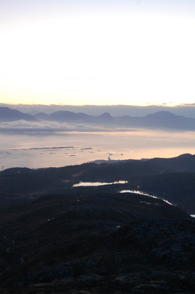
A pleasant hike along gravel road with great views of the fjord to the south. On a clear day you can see the sea and Hustadvika to the northwest. The hike is especially lovely in the evening as the sun sets!
Route description
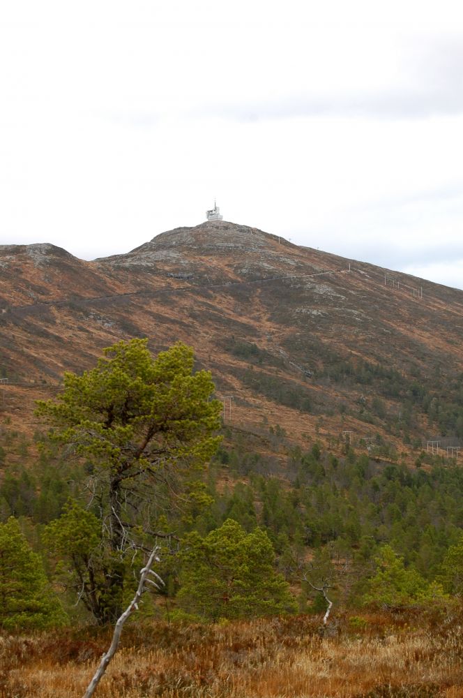
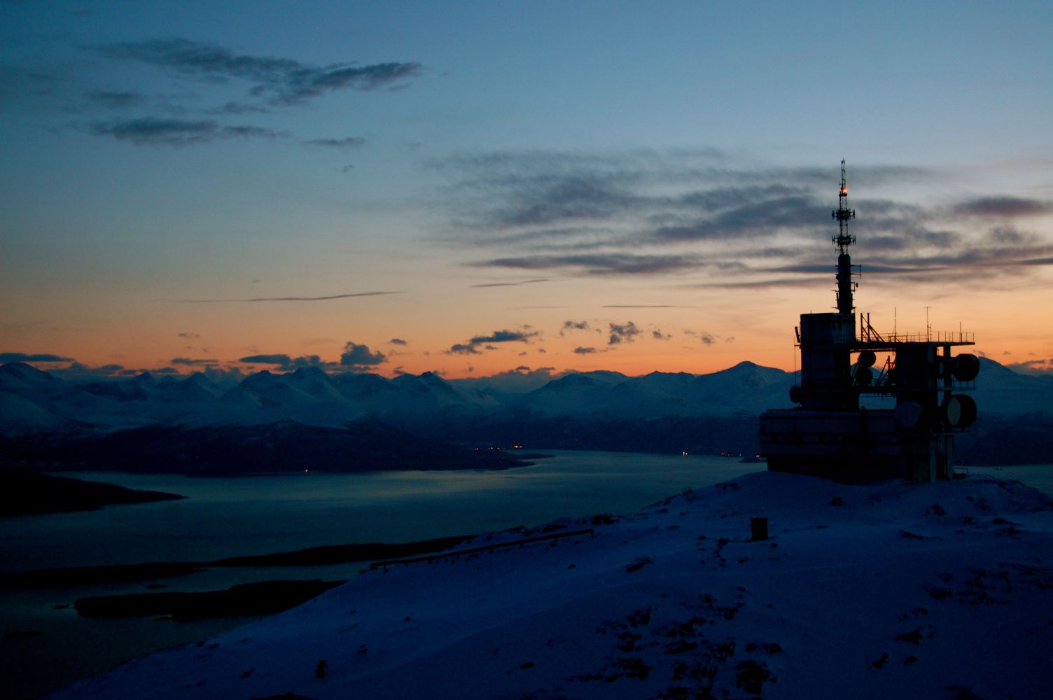
Start from the parking area at the station by Tusten Skiheiser (ski lifts). From the top of the parking area, follow the road upwards past the garages and administration buildings belonging to Tusten Skiheiser. Continue along the gravel road to the left and northward up to the link station located almost at the top. The route is upward the entire way with a few steep parts. From the link station, there is a path all the way to the top. Return along the same route or down the ski slope.
Access and parking
Start from Tusten skiheis (ski lifts) by the station at the bottom.
Parking in the large parking area by the station at the bottom of Tusten ski lifts. NB! There may be a small fee for parking in this area.
Hiking route
Blue
Distance
4,48 km one way
Elevation
605 m
Duration
3 t. 45 min.
Sesong
Winter, Spring, Summer, Autumn
Highest Point
705 masl
Signage
Signed
Map route
Surface type
Distance
Grus
4,0
Sti
0,4
Public transport
You can take the bus to Tusten, but there are few departures per day. Check the timetables at http://www.frammr.no.
Other
The route leads to the top of Molde's excellent alpine ski facility.
Map
Route map Molde
Payment method for toll road
A license plate recognition system will be introduced soon.