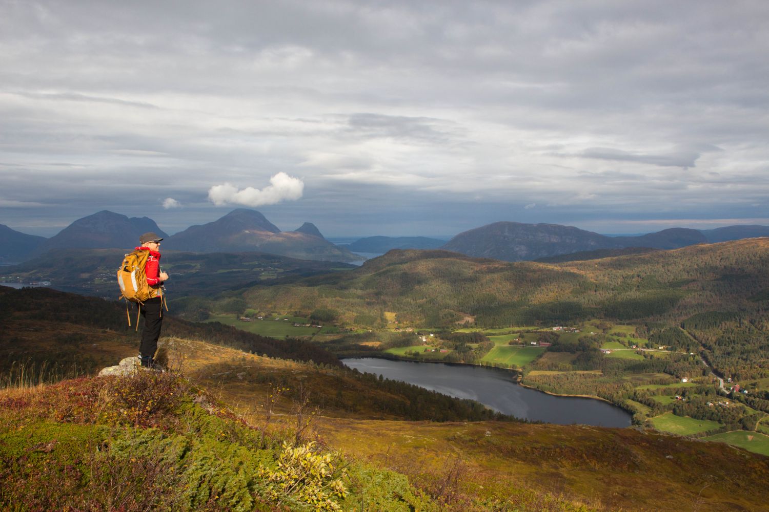
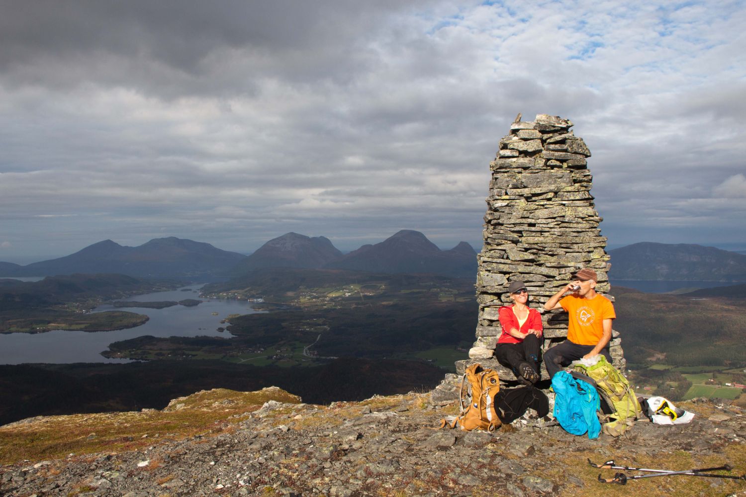
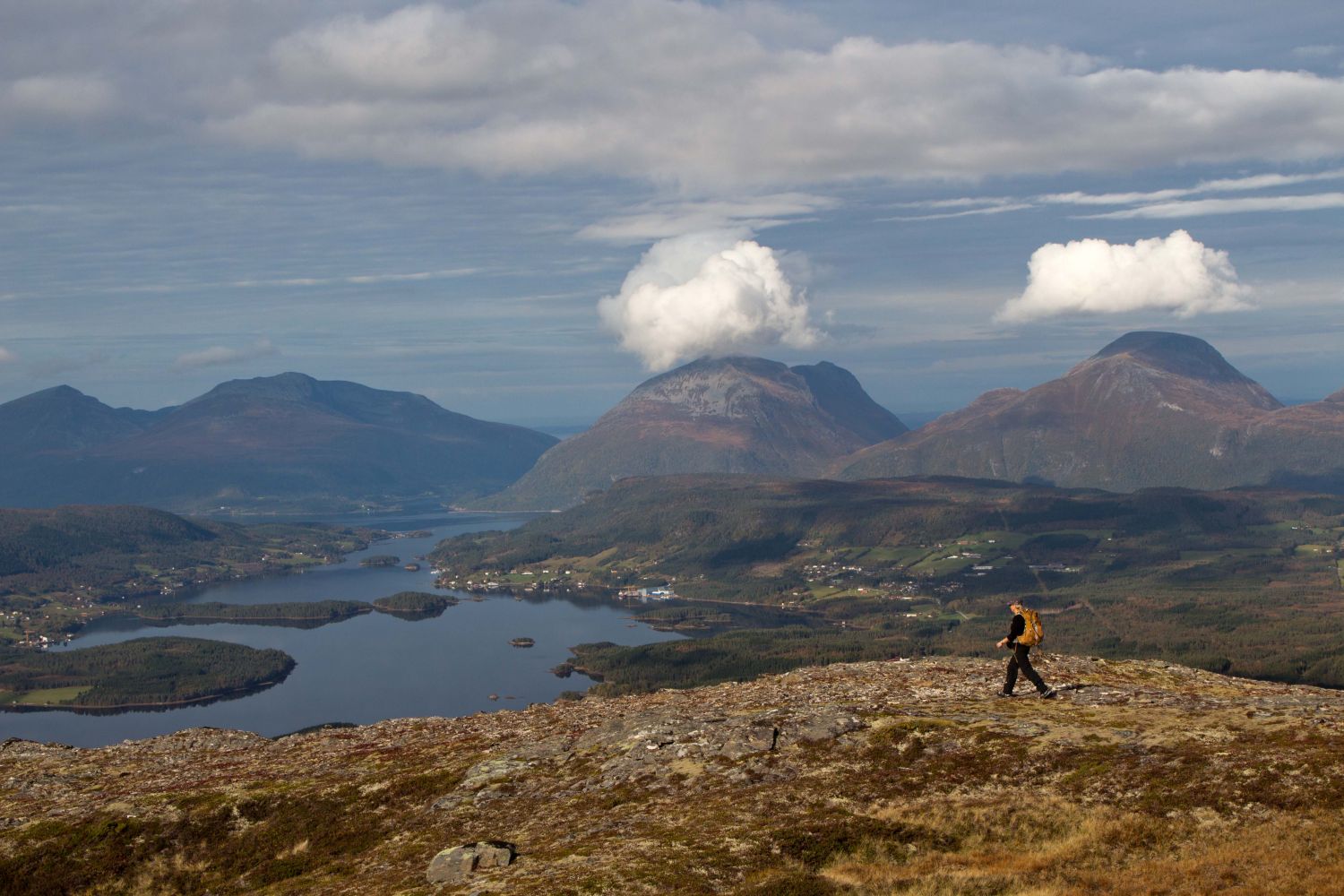
The Tussan mountain area consists of several marked peaks on the border between Halsa and Surnadal municipalities. The peaks are clearly visible when you are driving along E39 through Halsa.A hiking trail goes up from Haugaskaret to the eastern peak (729 m a.s.l.). The hike up to the top takes a bit more than one hour. You will get a panoramic view over the mountains of Tustna once you reach the top.From there, you can walk further to other mountain peaks in the Tussan area.
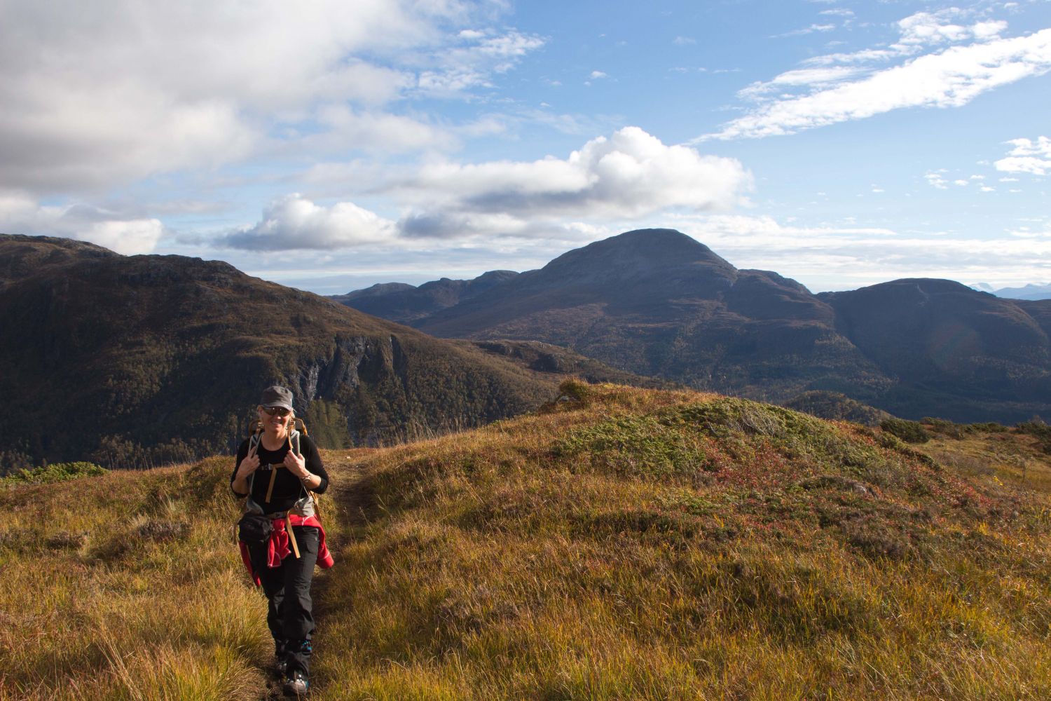
Starting at the car park, simply follow the path, which is partly waymarked, all the way up to the top. The entire trail takes about 3-4 hours.
Drive along National Road 65 (Rv65) between Halsa and Surnadal municipalities. About 400 metres to the north of Lake Haugavatnet there is a turnoff marked with the sign for Tussan.
Duration
2 - 3 time

Sesong
Spring, Summer, Autumn
Signage
Both signed and marked
| Surface type |
Distance |
| Sti |
2 |
1421 III Halsa or Norge map series, Surnadal
 Driving directions
 Route data
GeoJSON
Route data
GeoJSON