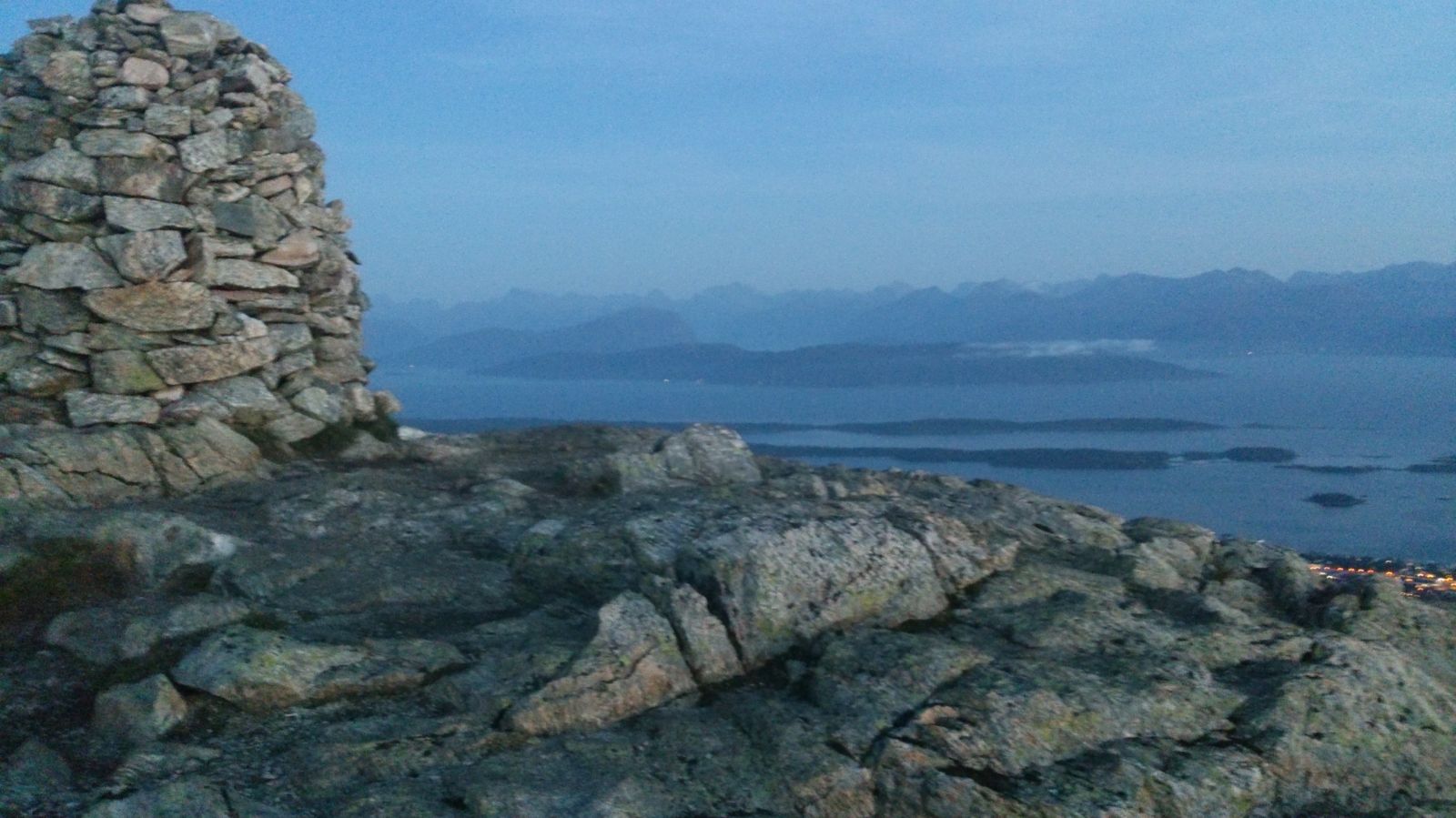
An easily accessible but occasionally steep trail that can be done as an afternoon hike for adults or a weekend trip with the kids. The route leads along a gravel hiking trail along the Molde River. You will pass Skihytta just before crossing the tree line where you will have panoramic views of Molde when continuing along the ridge towards the Tusenårvarden cairn.
Route description
From the bridge, follow the west side of the Moldeelva river straight north (upwards). The Moldemarkas Venner association has prepared a nice hiking trail, about 1.5 metres wide. After a slightly steep climb, continue following the well-marked trail. You will eventually come to the crossing trail. Turn right and follow the trail a few metres before turning left again. Then follow the Thisløypa trail up a few steep hills. You will cross the lit ski trail and then Varadevegen (gravel road) by Damefallet. From here, follow the gravel road further north towards Skihytta cabin and the Tusenårsvarden cairn. After about 100 metres, you can choose whether to follow a wider hiking trail up to Skihytta or continue along a rocky trail straight up towards Skihytta. You will eventually see the ski cabin belonging to the Molde sports club. Choose whether to stop at the cabin on the way up or on the way down. Just north of the cabin is a nice path leading up to the top. This is laid with stone and has planks over the wet patches. As you reach Auduntjønna, turn right and follow the ridge eastward. You will then see the Tusenårsvarden cairn. There are some steep parts over rocky areas from Skihytta and up to the top.
Access and parking
There is parking at the Kiwi supermarket on Langmyrvegen, but you will have to ask the supermarket if you can park there while out hiking.