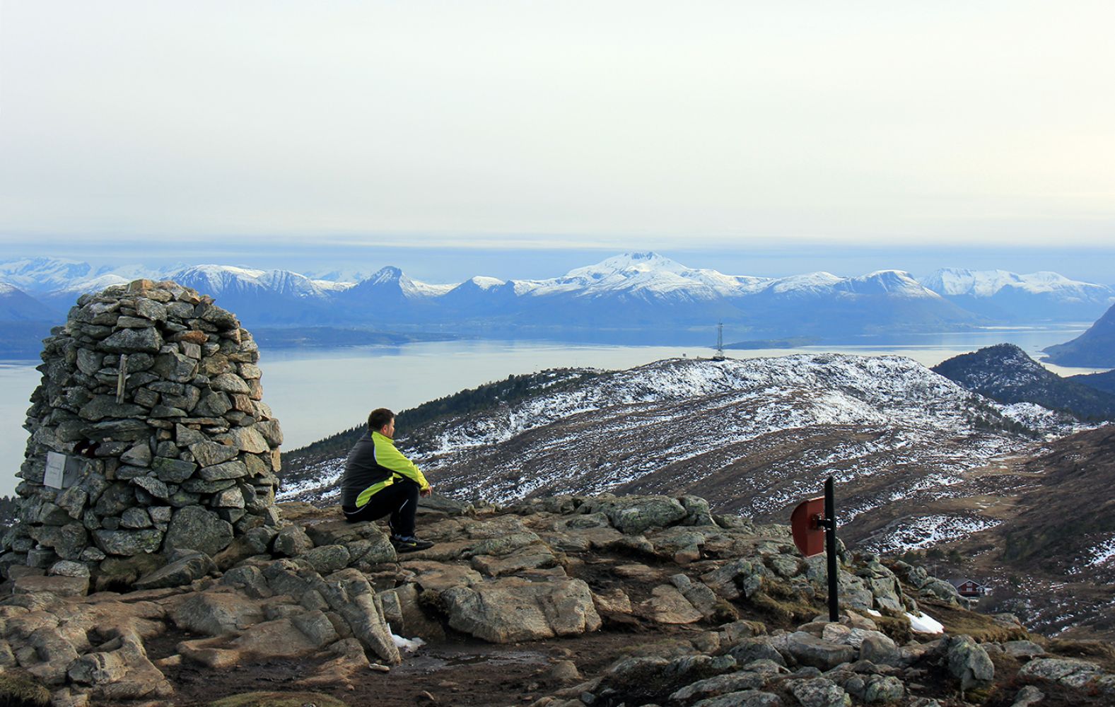
Tusenårsvarden from Damefallet
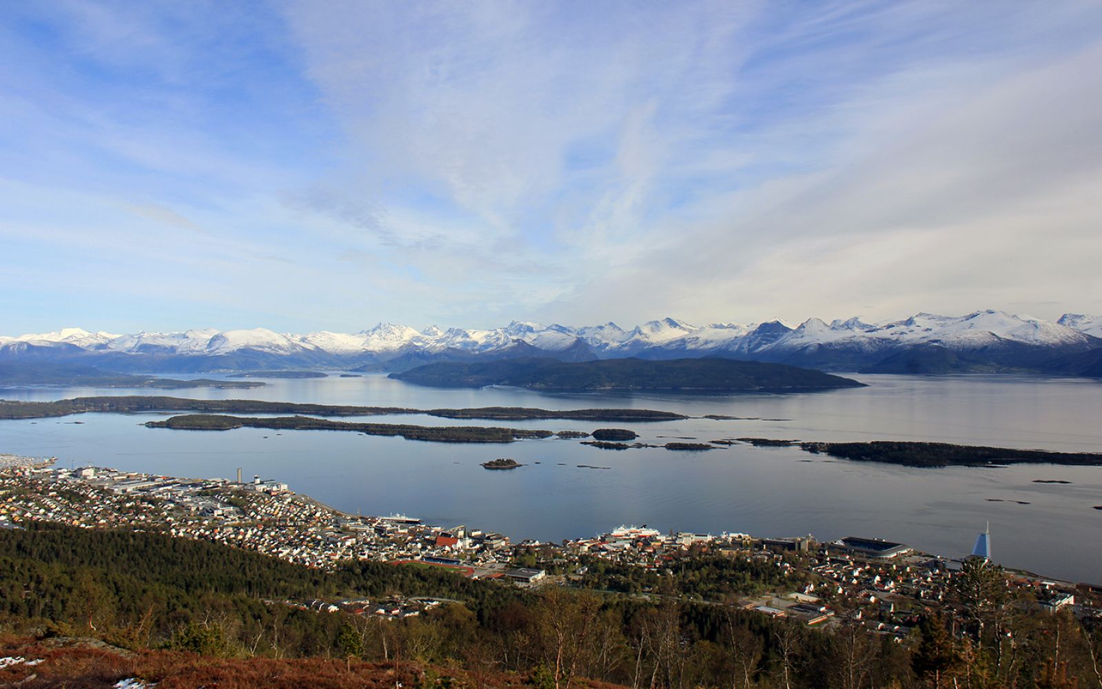
Molde
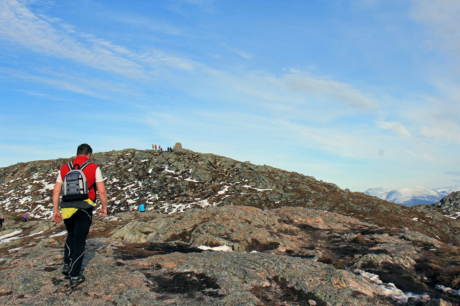
When you reach the Skihytta cabin, stop for a bit to enjoy the view, as you will just have crossed the tree line. Right before you reach Audunstjønna lake, you will be crossing a creek/river. This is the perfect place to stop for a sip of refreshing mountain water. If the weather is really warm, we recommend a dip in Auduntjønna. Once you've managed to climb all the way up to the Tusenårsvarvden cairn, you will have stupendous views of both land and sea.
From Damefallet, follow the trail and signs up to Skihytta (you can follow either the new or old trail). From Skihytta, follow the path to the northeast towards Auduntjønna. From here, you can see the Tusenårsvarden cairn to the east. Follow the path along the ridge on the south side of Auduntjønna until you come up to Tusenårsvarden. The last stretch is steep. Return along the same route.
From just north of Downtown Molde, follow the road to Varden. Pass Fjellbrudammen lake and continue for about 500 metres. You will then come to Damefallet where you can find parking on the right side of the road. There is no parking fee.
Damefallet by Vardeveien
Duration
2 t. 5 min

Sesong
Spring, Summer, Autumn
| Surface type |
Distance |
| Sti |
5 |
If there has been a lot of rain, the path may be slippery. Hiking is best when the weather is dry.
Route map Molde and Fræna - Topographic map series - M711 Blad 1220 I Hustad
 Driving directions
 Route data
GeoJSON
Route data
GeoJSON