Hike to Lake Brudevikvatnet and the Gapahuk Shelter
Vanylven
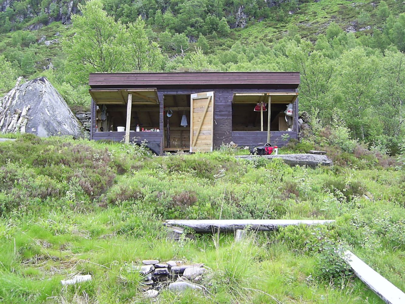
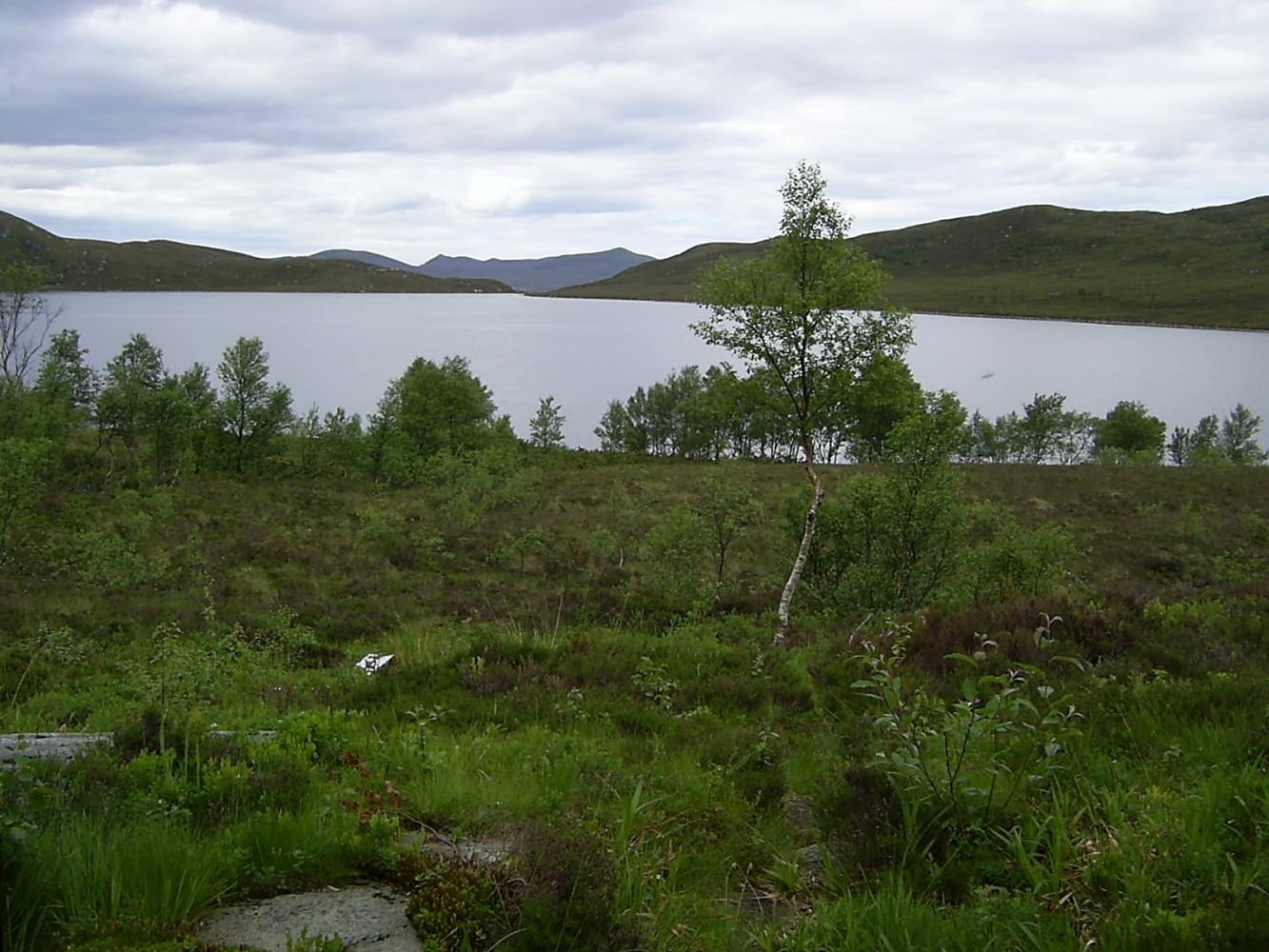
This is a fairly easy family hike to the traditional gapahuk shelter by Lake Brudevikvatnet. The lake offers good fishing opportunities, and it is also a nice swimming area for children. You can stay overnight in the gapahuk shelter. It is open for everyone and can accommodate many people.
The trail runs through gentle terrain with only two noticeable ascents – one at the start and the other one closer to the endpoint. The path is well marked and mostly good-quality.The hike normally takes 1.5–2 hours depending on your age and physical shape.
The trail starts in Krokvika. There is plenty of parking space here. It would be easiest to get to the starting point by car, but there are also several bus routes that run past.
Duration
2 t. 45 min.

Signage
Both signed and marked
Mobile coverage
Partially
| Surface type |
Distance |
| Sti |
7 |
Vanylven Hiking Map, route 4
 Driving directions
 Route data
GeoJSON
Route data
GeoJSON