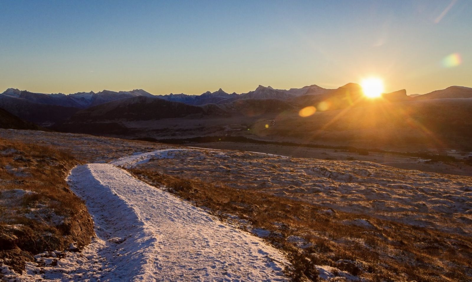
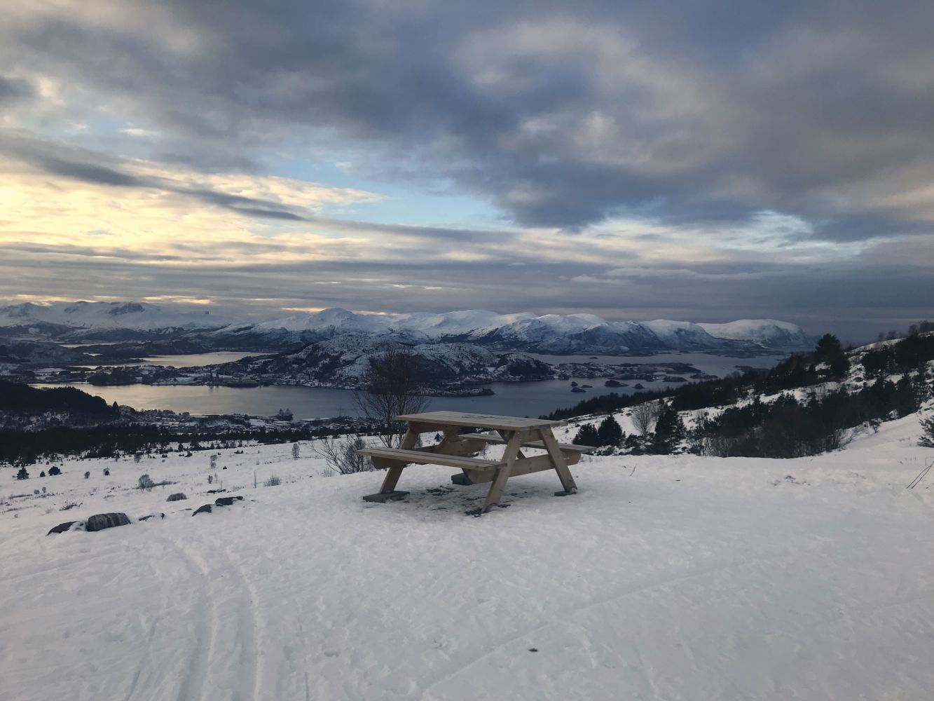
The trail to Mount Breifjellet is a nice hike along a designated gravel hiking path. There are several picnic areas and tables along the way. As you approach the top of Breifjellet, you get to enjoy a great view inland towards the Sunnmørsalpene mountain range, out to the islets and islands of Ulstein, and all the way to Stadt in clear weather.
Route description
The trail starts from the car park in the Hovsetmarka area and follows the old national road to Hareid. Follow the road east for about 300 metres before turning off to the left and walking north up a gently sloping hill. You will walk past a water treatment plant and across a marsh in Gamleeidet. There are several picnic areas along the way. You will find the first one after 1.3 km, the second one after 1.6 km and the third one after 2 km from the start.
From this picnic area, the trail gets steeper. As you approach the top after about 2.4 km, turn off to the right and walk east towards Hareid and Kiberget. The final 150 metres to the trail destination follow flat terrain. This is where you can sit down and enjoy the view of the mountains and the archipelago.
Access and parking
You can park your car in the upper part of the Hovsetmarka area. It is important to remember that this area is also a turnaround and the parking is not permitted here between 8:00 a.m. and 3:00 p.m. on weekdays.