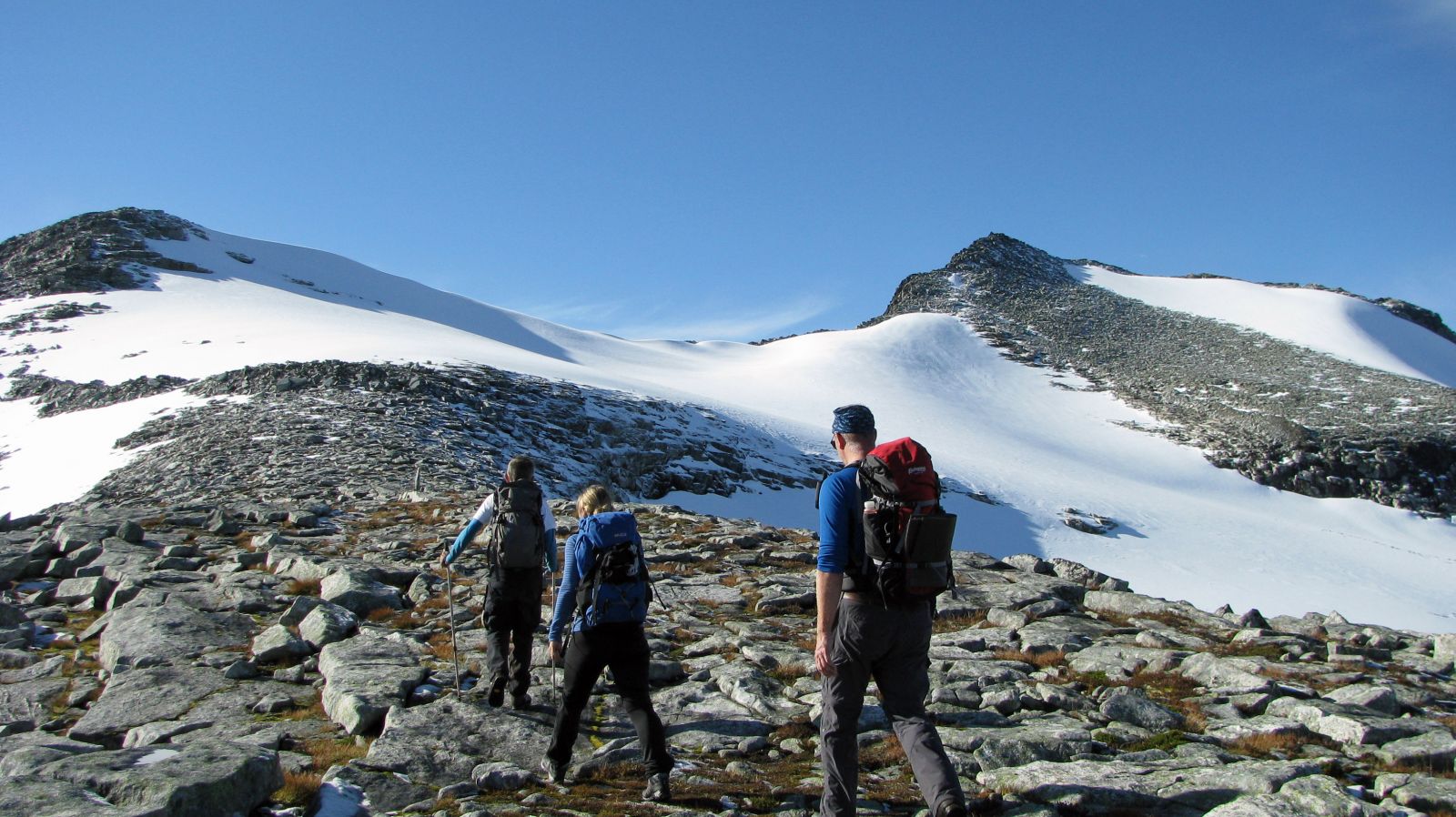
Mount Trolltind (1347 m a.s.l.) is fairly steep and lofty but at the same time relatively easy to climb. A road takes you up to 500 m a.s.l., which makes this summit hike accessible for many people. You will also get an opportunity to walk over a glacier on your way up.
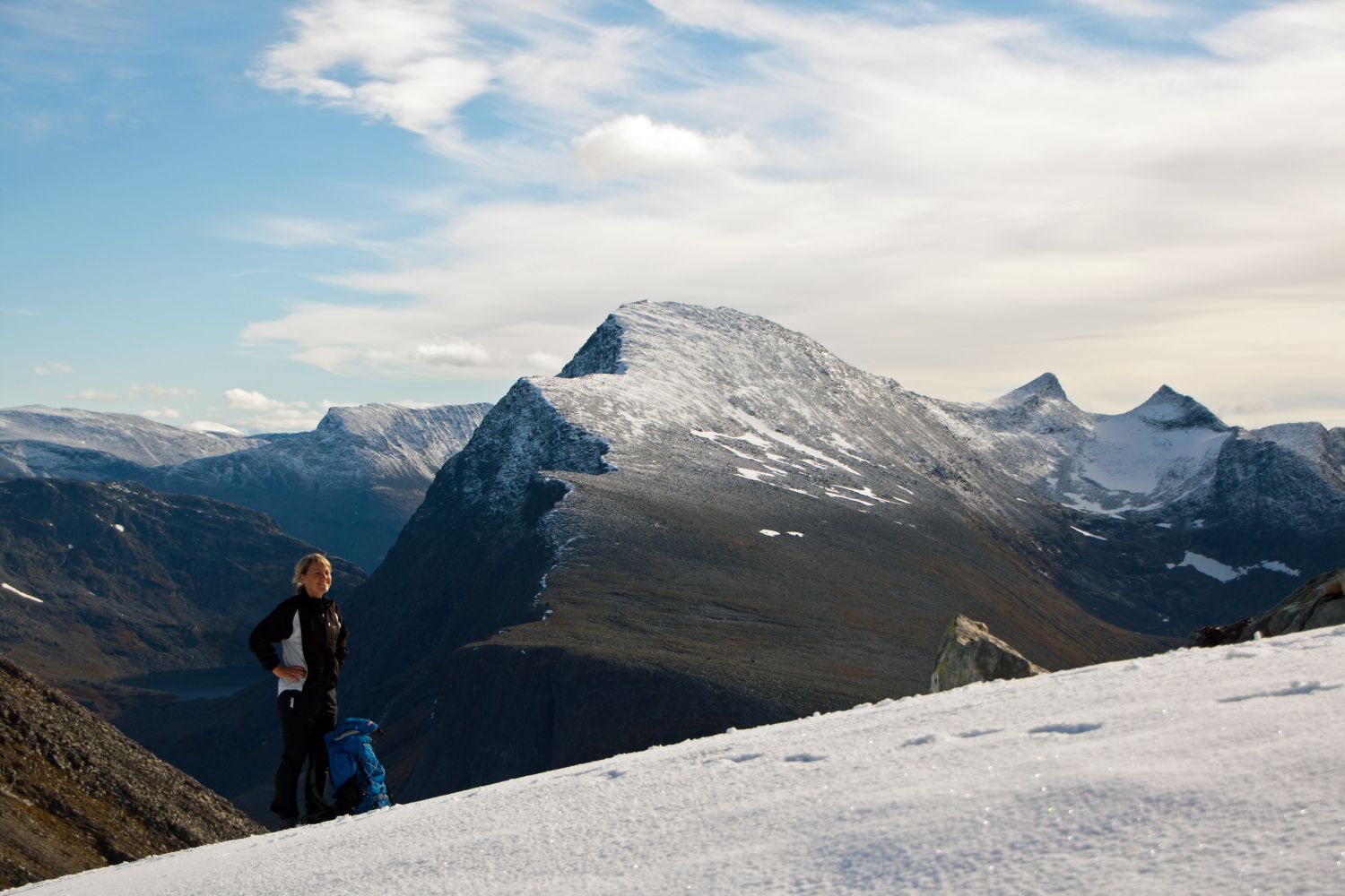
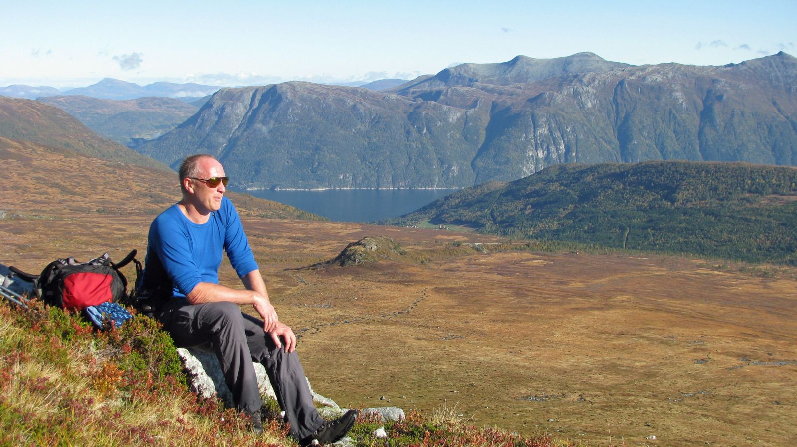
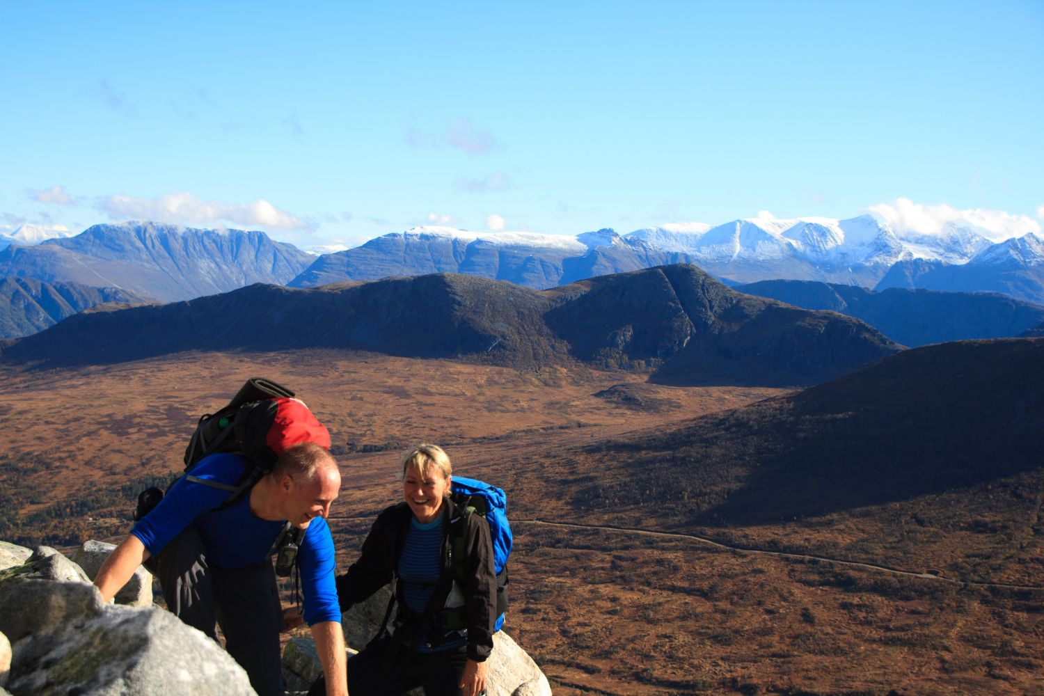
Cross the river just above the car park and walk southwest over flat terrain. The path is poorly defined here, but you need to walk along the southern side of a hill called Varghaugen. When the terrain becomes steeper, walk northwest and climb up a steep scree area until you reach the ridge of the mountain. Follow the ridge until you come up to a glacier at the foot of Mount Trolltind. Note that there may sometimes be cracks in the glacier in summer. Walk over the glacier and continue towards the top of Trolltind. On your way down after passing the glacier, head southeast in the direction of the Ryssdalen Valley until you see Varghaugen Hill and return to the route that brought you up here. Many choose to follow the same route back. This way you will avoid the steepest section but have slightly less variety.
Follow RV62 between Sunndalsøra and Eidsvåg. About 100 metres from the entrance to the tunnel near Jordalsgrenda, take the toll road that runs up along the Jordalselva River. Drive over a dam and continue until the road ends at a large car park with a new toilet building.
The toll fee is NOK 80.
Duration
4 t. 5 min

Signage
Both signed and marked
You can pay with the Vipps payment app.
 Driving directions
 Route data
GeoJSON
Route data
GeoJSON