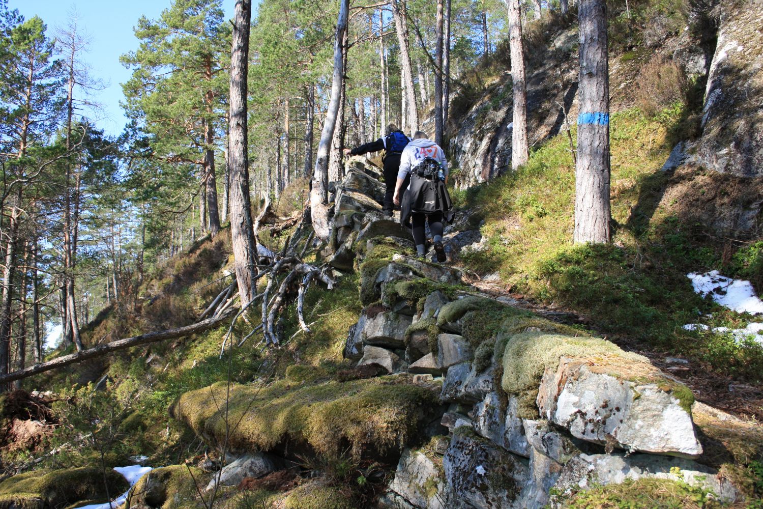
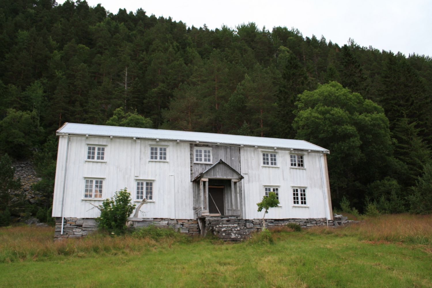
Trodalen is a perfect destination for a Sunday walk with the family and can be tackled by people of different fitness levels. This hiking trail offers a variety of terrain from the seashore to dense spruce forest. Bring your packed lunch and enjoy the magnificent view over the Trongfjorden from the steps of the old house in Trodalen.
The trail starts from the holiday home centre Flessen Hyttesenter. Walk past the holiday homes next to the car park and continue along the coast. You will soon find a well-marked path. Follow the blue marks along that path. At some point, you will cross a forest road. Continue following the blue marks on the other side of the road. Turn left and follow the forest road when you meet it for the second time until you reach a point when the road forks. Instead of walking down, continue straight ahead following the waymarks in the direction of Trodalen. There are two points along the trail to pay particular attention to. Both on your way to Trodalen and back, there is a point where it is easy to walk in the wrong direction. At both places, you can mistakenly walk straight ahead while the path climbs uphill. The blue waymarks are quite close to one another so you can easily return to the marked path if you wander off.
The trail starts from the holiday home centre Flessen Hyttesenter. Turn off the main road at the junction in Bele and follow the sign for Flessa/Flessen Hyttesenter.
Parking by the holiday home centre is free of charge.
Duration
1 t. 45 min.

Sesong
Spring, Summer, Autumn
Signage
Both signed and marked
| Surface type |
Distance |
| Sti |
5,6 |
Please avoid parking at the turnaround in Flesa.
 Driving directions
 Route data
GeoJSON
Route data
GeoJSON