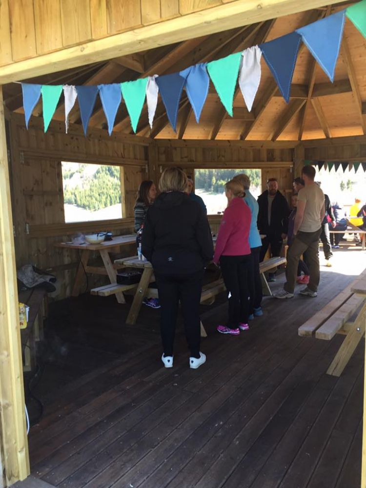
This is a nice and easy trail from the inner part of Tresfjorden. You can visit a beautiful church from 1828. At the end of the trail, you will get to a pavilion near the viewing point that lies at 50 m a.s.l. The pavilion is located within the area of the Tresfjord Museum with 10 buildings. There are several places here where you can relax and enjoy a cup of coffee.
Route description
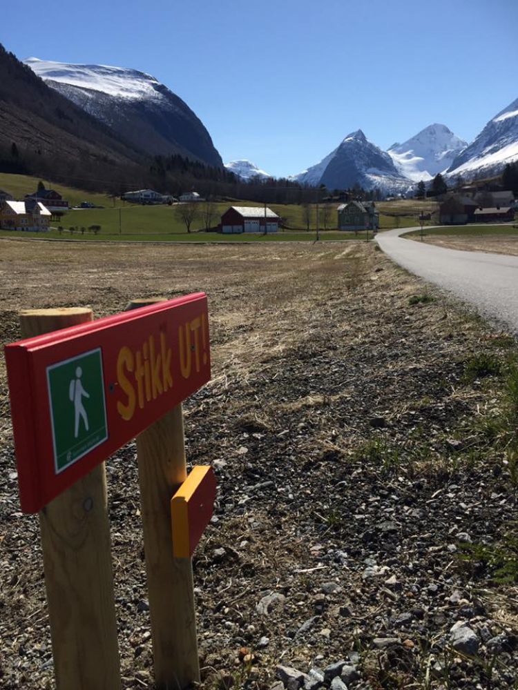
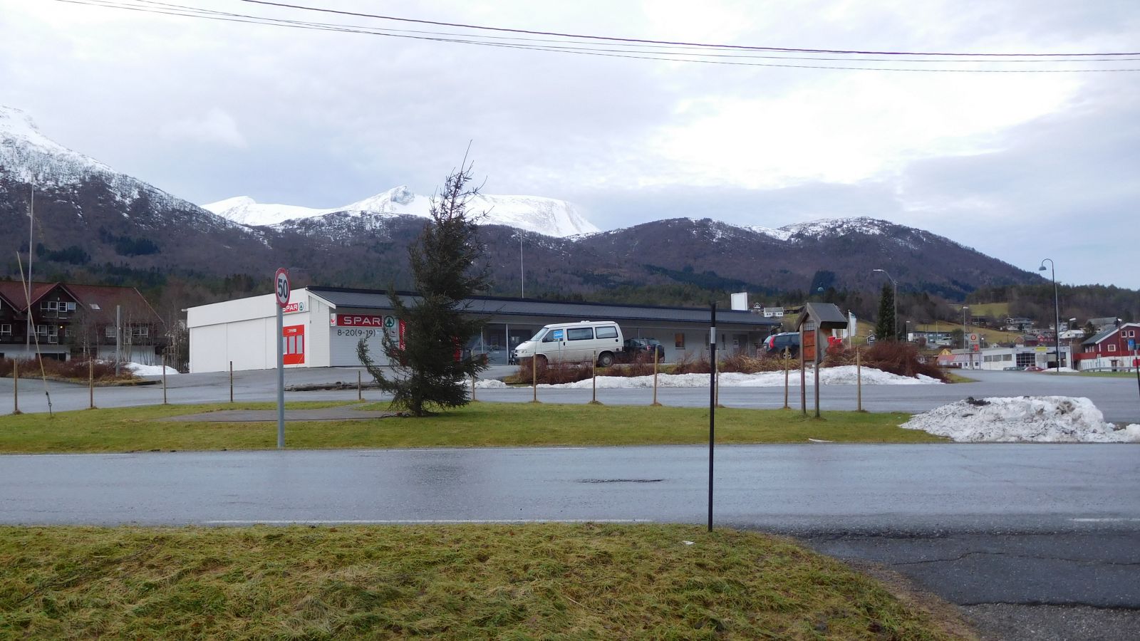
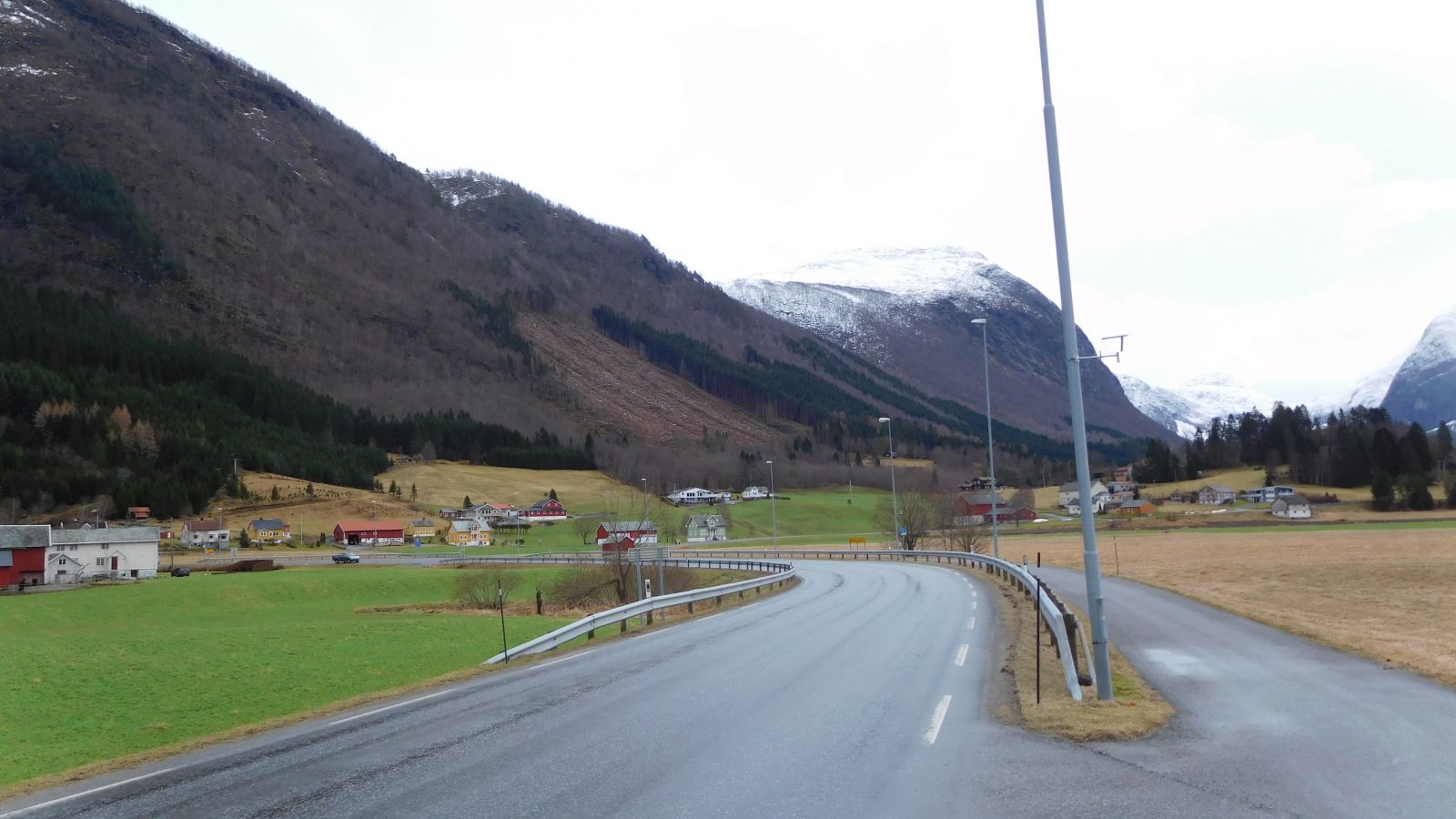
The trail starts from the Spar shop where you can park your car. Walk down to Tresfjordvegen Road and onto a walkway across the Tressa River in the direction of Vikebukt. Follow it until you reach the junction and turn right onto Øvstedalsvegen Road. You will see Tresfjord Church on your left-hand side a couple of hundred metres down Tresfjordvegen Road in the direction of Vikebukt. Continue walking further up Øvstedalsvegen Road past the youth centre Tresfjord Ungdomshus on your right-hand side. Follow the road as it turns until you see a sign for the Tresfjord Museum (Øvstdalsvegen 89). Turn off onto a gravel road to the left and enter the museum area. You will see the pavilion at the top of Steinhaugen Hill on the right. The gravel road continues up the hill leading to the pavilion. Take a walk there for a nice view.
Access and parking
The trail starts from the Spar shop in the inner part of Tresfjord. You can get here by driving along Tresfjordvegen Road (no. 163) from Ørskog or Vestnes, or from Vikebukt. With an AutoPASS toll tag, you do not have to pay any fees either if you only drive through one toll station and stop in Tresfjord or if you use more than an hour to pass both toll stations (Skorgen and Skjeggstad). Without an AutoPASS toll tag, you will have to pay full price every time you pass a toll station.
Free parking.