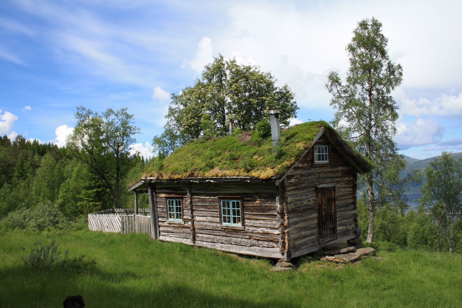
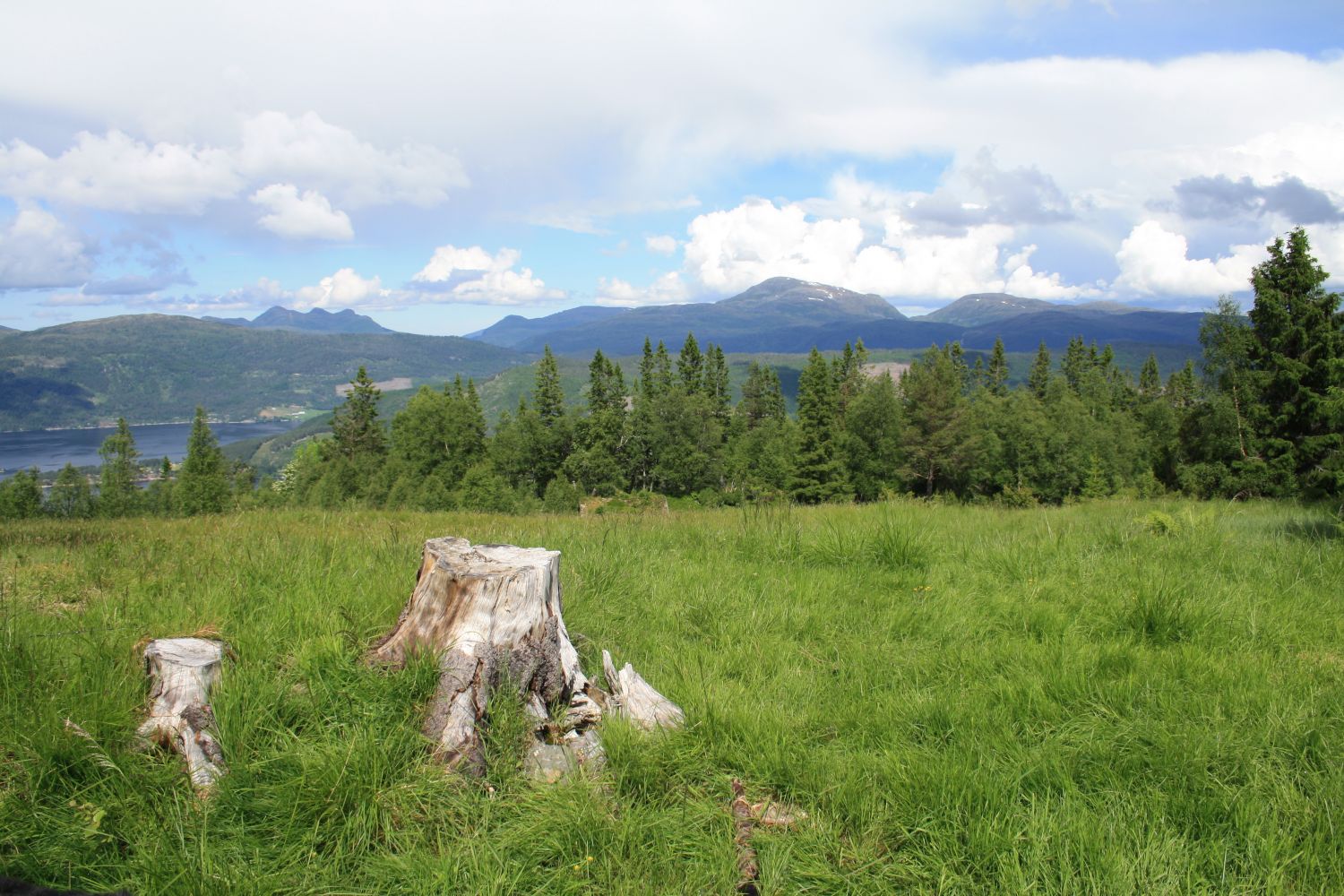
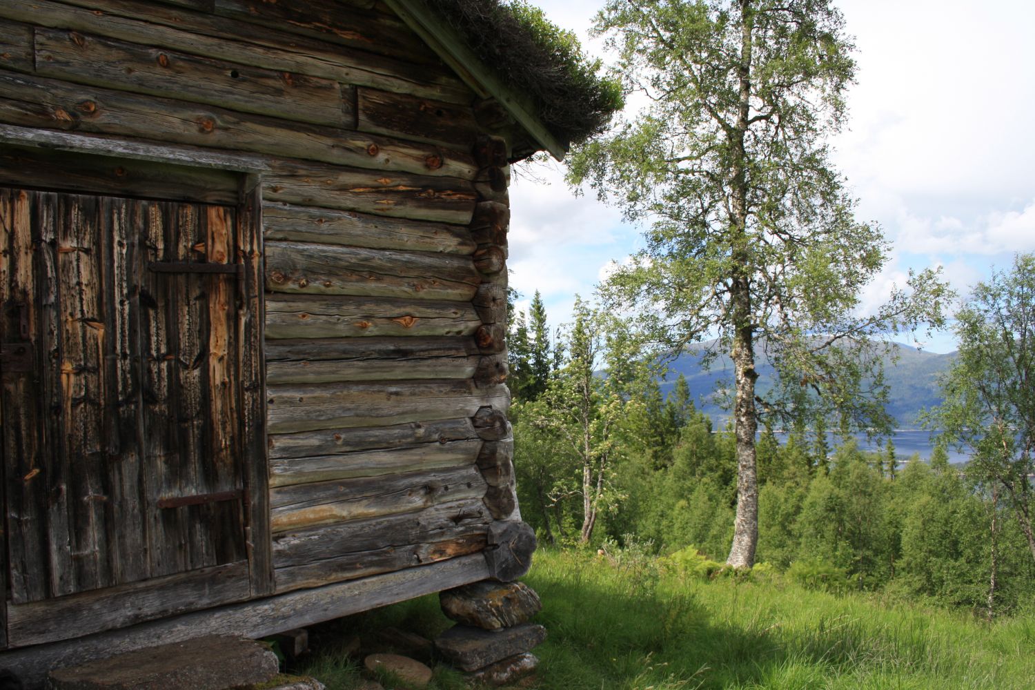
The trail to Torviksetra is recommended for several reasons. The trail destination is an idyllic summer mountain pasture with several historic buildings. It is also a great view point where you will be able to look out over Kjergroneset, Vargøya, Bølia, Tussan, and more. Because of the multiple turns the road takes on its way uphill, it is also not as steep as many other similar paths in the area.
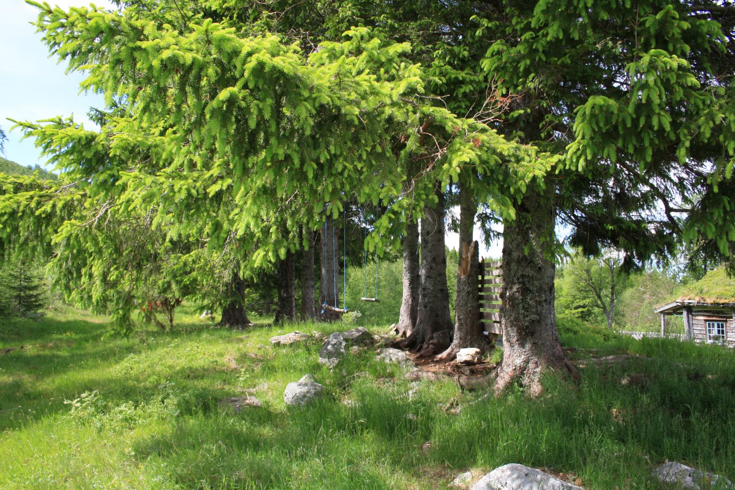
The trail ends in Torviksetra.
After you have parked your car at the lower side of the road, take the road that leads inland from the main road. Walk past the sand pit and through the cabin area. Keep on walking up the forest road. If you follow this road and do not take any detours, it will take you up to the summer mountain farm on the hillside.
Drive through the village of Surnadalsøra and continue further along the fjord. After about 8 km, but before you reach the farms in Torvika itself, you will come to a bay. On the upper side of the road here, you will see a small sand pit and a small cabin area. You will see a car park on the lower side of the road.
You can park your car at the starting point of the trail.
Duration
1 t. 55 min.

Sesong
Spring, Summer, Autumn
Signage
Both signed and marked
The path is marked according to the national standard. The upper section of the path will be changed slightly during the summer of 2018. The GPS file and the sign at the top of the path will be partly inconsistent until a new GPS file is created, but you will find your way whether you follow the sign or the GPS track.
 Driving directions
 Route data
GeoJSON
Route data
GeoJSON