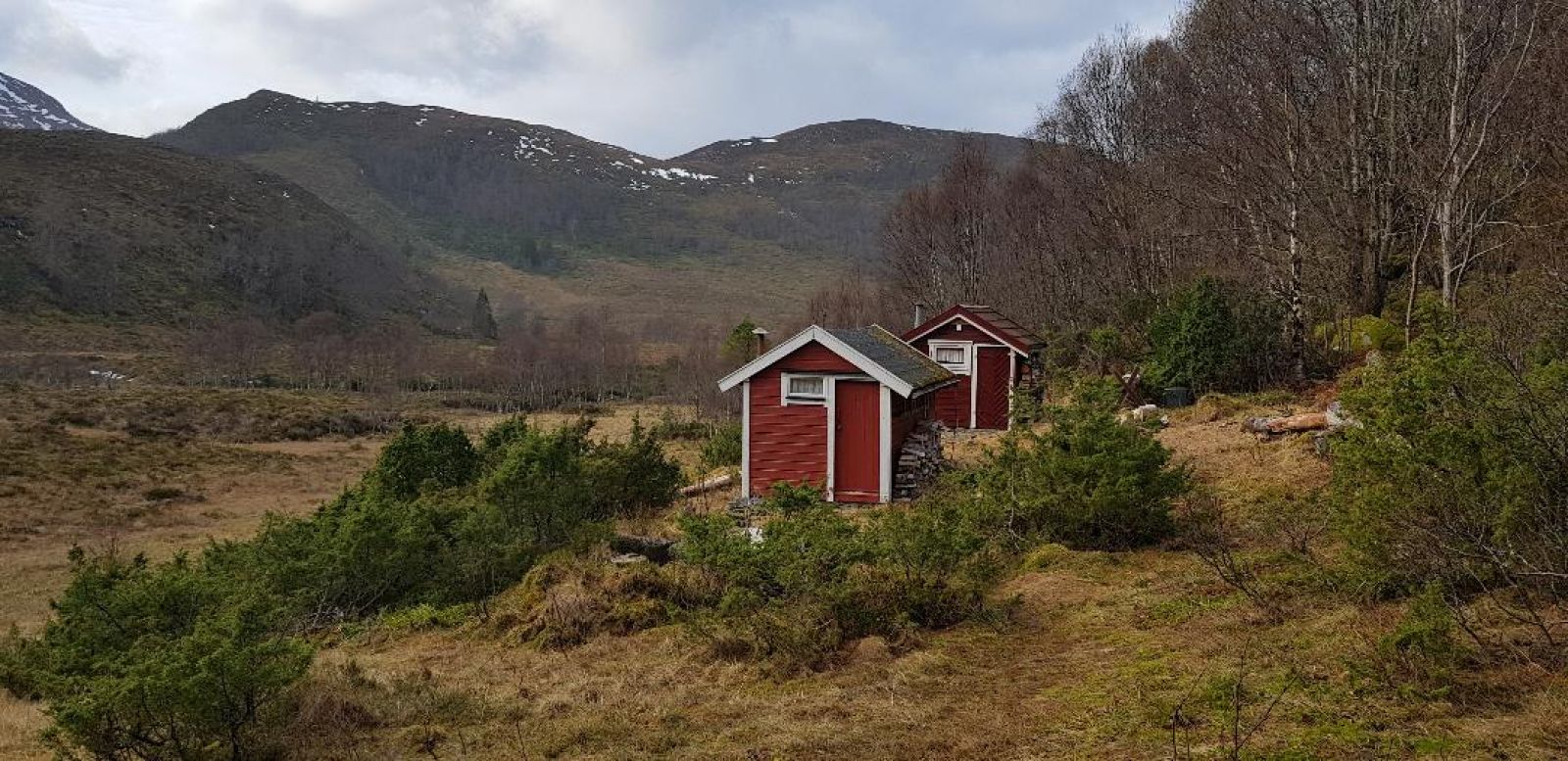
This nice and short trail gradually climbs up to Torviksætra, the old summer mountain farm used by the farmers of Torvik and Stigen. Torviksætra is a wonderful hiking destination that is well suited for families with children.
Route description
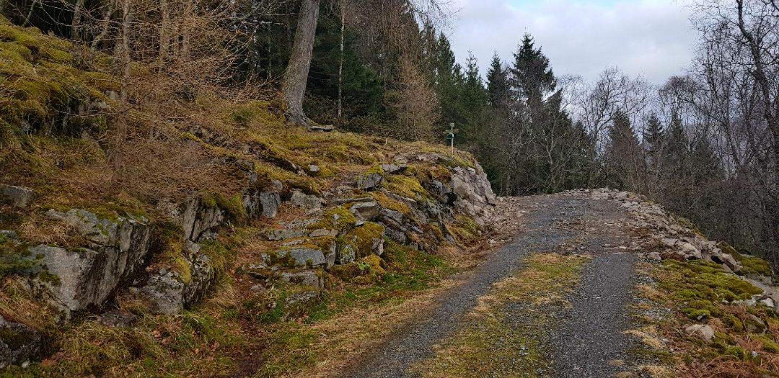
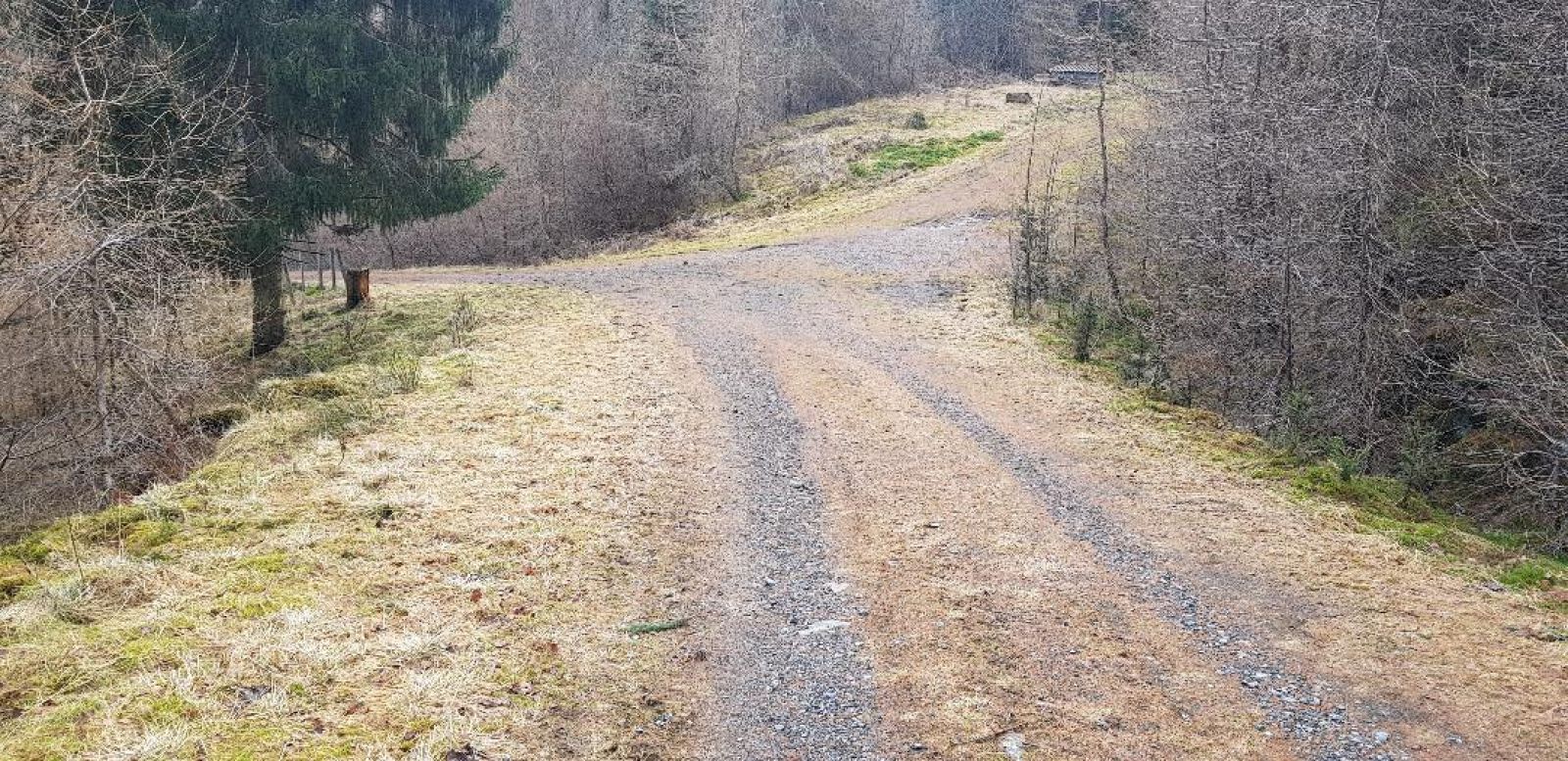
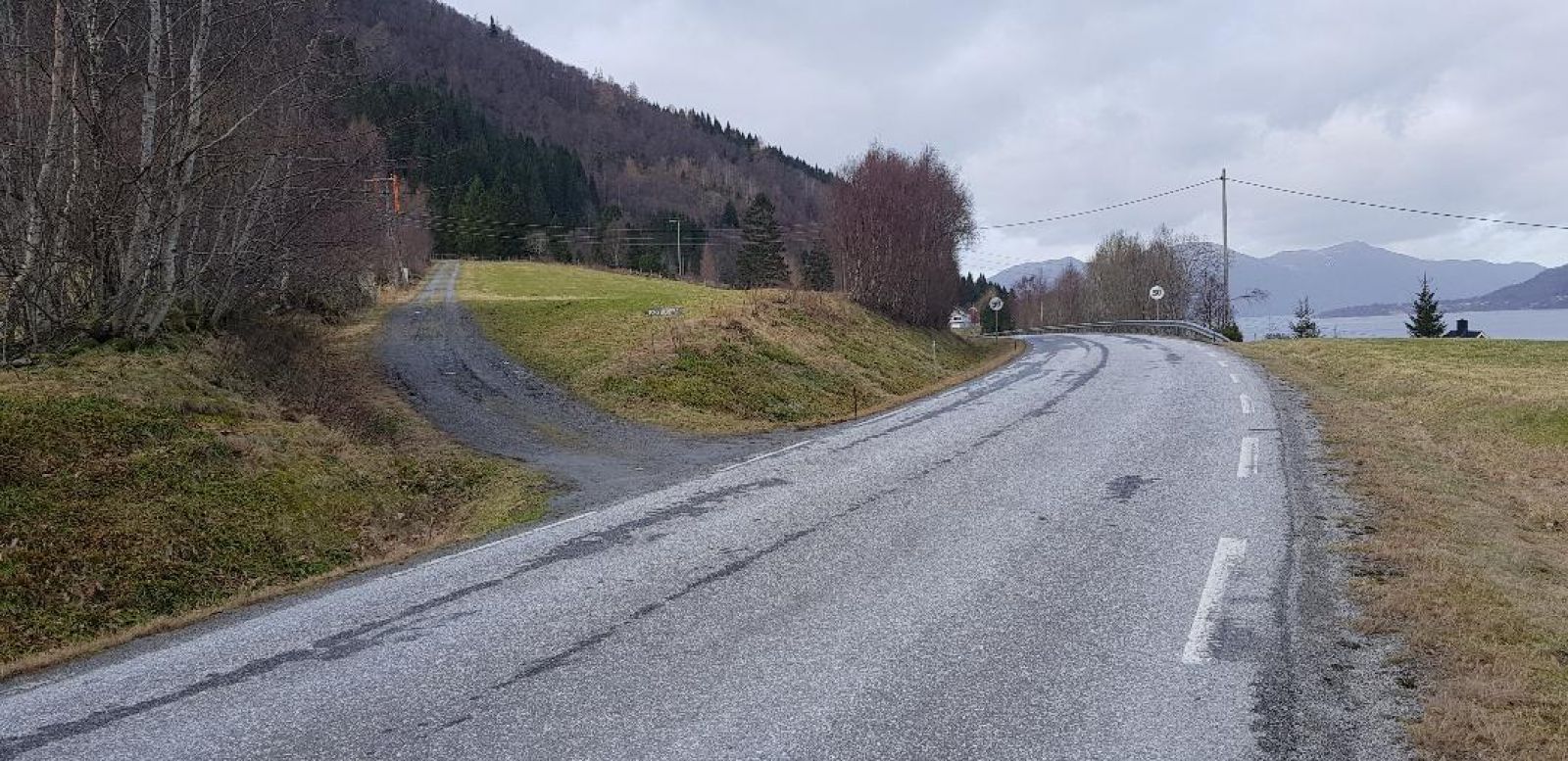
The trail starts from Ulvestad Primary School. Walk north along County Road 652 (FV652) for 400 metres until you reach a forest road that lies about 50 metres above the commercial building of Trio Samdrift. You will see a signpost for Torviksætra and a Stikk Ut trail sign. Follow the forest road uphill and into the forest. Turn right at the first junction and follow the forest road up the steep slope until it flattens out. From here, follow the path along the ridge as it takes you further up to the mountain farm that lies at 265 metres above sea level. On your way to the farm along the ridge of the hill, you will get a beautiful view towards Lid, Berknes, and the islands of Yksnøy and Gurskøya.
Access and parking
Drive along FV625 in the direction of Syvde from the ferry terminal in Lauvstad. Follow the road for about 800 metres from the junction at the ferry terminal and park your car next to Ulvestad Primary School. No parking fee applies.
Hiking route
Green
Distance
1,98 km one way
Elevation
259 m
Duration
1 t. 40 min.
Sesong
Winter, Spring, Summer, Autumn
Highest Point
265 masl
Signage
No signage or markings
Map route
Surface type
Distance
Asfalt
0,4
Grus
0,7
Sti
0,9
Public transport
Public transport service to the centre of Volda. You can take a ferry from Volda to Lauvstad and walk from the ferry terminal. The walking distance between the ferry terminal in Lauvstad to Ulvestad Primary School is about 750 metres. Please check ferry timetables at http://www.frammr.no (ferry 08. Volda – Lauvstad)