To Lønset ferry quay from Eplehagen
Molde
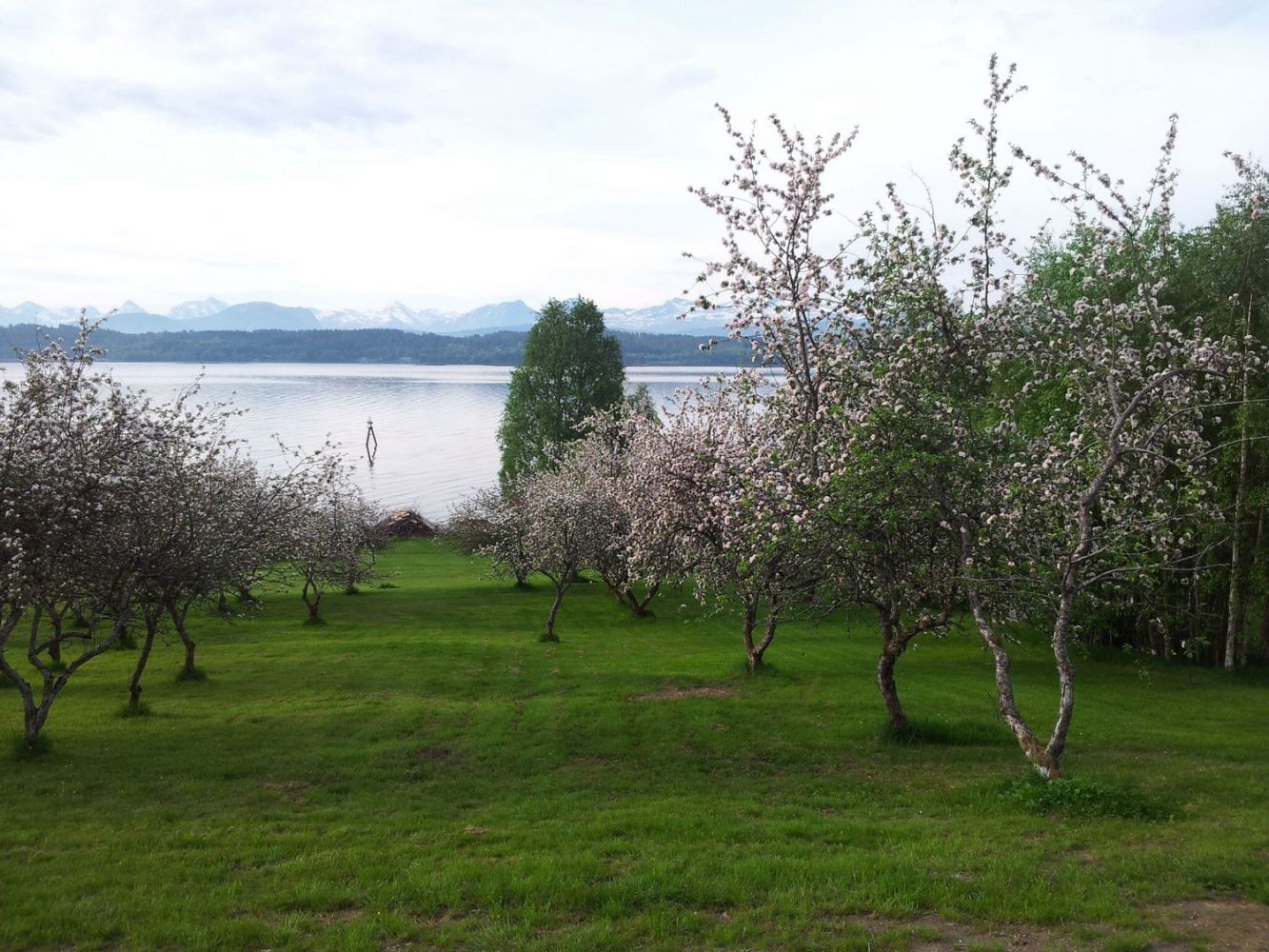
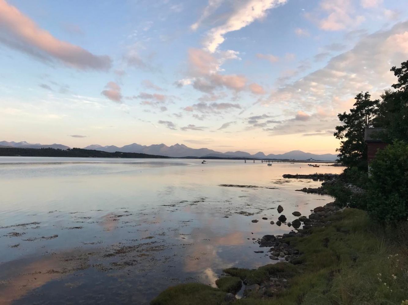
The route to the old ferry dock on Lønset is well suited for a leisurely afternoon trip. You can easily launch a kayak from the beach in Eplehagen, and from here you can follow along the beach the entire way towards the ferry dock. On the route, you will paddle through the beautiful Romsdalsfjord with a view of all 222 mountaintops of the Molde mountain panorama, and on your way back, you will have views of Midsund and the ocean.
The route starts in pleasant Eplehagen, a lovely bathing beach and recreation area on Årø. Here you can easily launch your kayak along the sandy beach. Be aware that you can't drive your car all the way down to the shore, and you will have to carry/roll your kayak down the first hill, about 150 metres.
From Eplehagen, paddle along the shoreline eastward in towards the fjord past Elsås and Strande until you come to the ferry lane. The ferry route was discontinued when the tunnel to Skåla was built, and there is less boat transport towards the shore than there is, for instance, out to Hjertøya. Return along the same route. There are a number of good places to swim along the beach. When returning, you will paddle out to towards the open ocean.
Large parking area for Eplehagen. Here you can park for free. You will have to carry your kayak down to the shore from the parking area, so it may be a good idea to have a companion or use a transport cart.
Duration
2 t. 40 min.

Sesong
Spring, Summer, Autumn
This is a relatively easy route with good sea conditions. Please note that this is further into the fjord than around Hjertøya and Seterøya and there may be a bit of current. There is less boat traffic here than further out in the fjord.
Sea map, 34, Romsdalsfjord
 Driving directions
 Route data
GeoJSON
Route data
GeoJSON