A hike up to the mountain farm Talgøsetra is not long or very demanding, but it can be wet in bad weather. Talgøsetra can be a good starting point for extending your hike further.
Route description
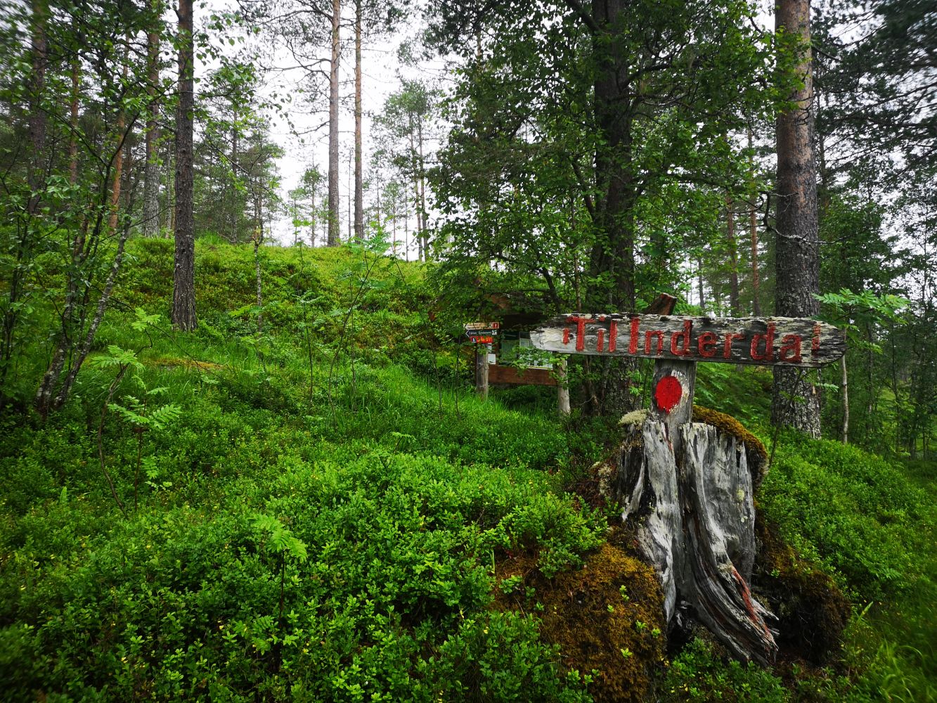
Follow the red-marked path in the direction of the Innerdalen Valley the entire time until you reach Talgøsetra. You will see the remains of the mountain farm as you approach the end of the final ascent. Except for this final hill, the trail is not particularly steep.
If you would like to get a better view, you can continue following the path in the direction of Bjøråskaret and Innerdal. After just under a kilometre, which will be at the height of about 100 metres, you will see a large stone called Tristeinan. The path runs over that stone. From there, you will get a magnificent view of Snøfjellet, Skjerdingfjellet, and Kårvatn to name a few.
Access and parking
Drive for 8.7 km from Matkroken in Todalen and follow the sign in the direction of Kårvatn. You will find a large car park about 100 metres after the sign for the starting point of the hike. There is also a signposted car park for the hiking trail to Bjøråskaret.
Hiking route
Green
Distance
2,01 km one way
Elevation
283 m
Duration
1 t. 45 min.
Sesong
Winter, Spring, Summer, Autumn
Highest Point
506 masl
Signage
Both signed and marked
Map route
Surface type
Distance
Sti
2,01
Map
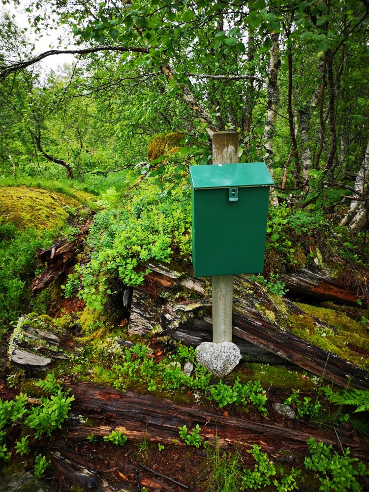
Talgøsetra is one of the ten hiking trails where the Todalen Sports Association (Todalen IL) set up their postboxes with trail journals.
500 metres away from the car park, you will find an idyllic lake called Vassosvatnet which you can access by following