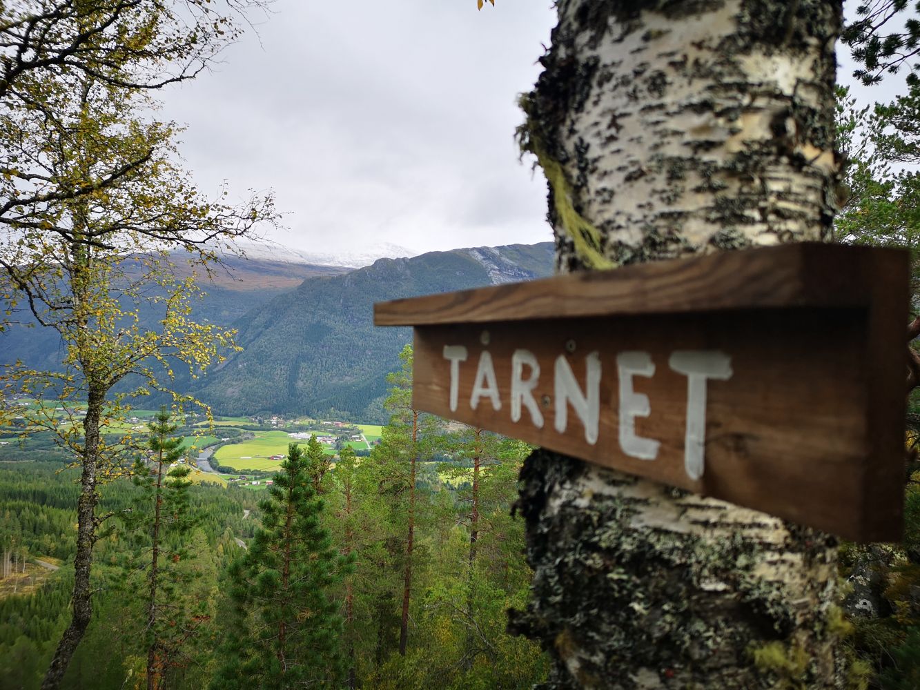
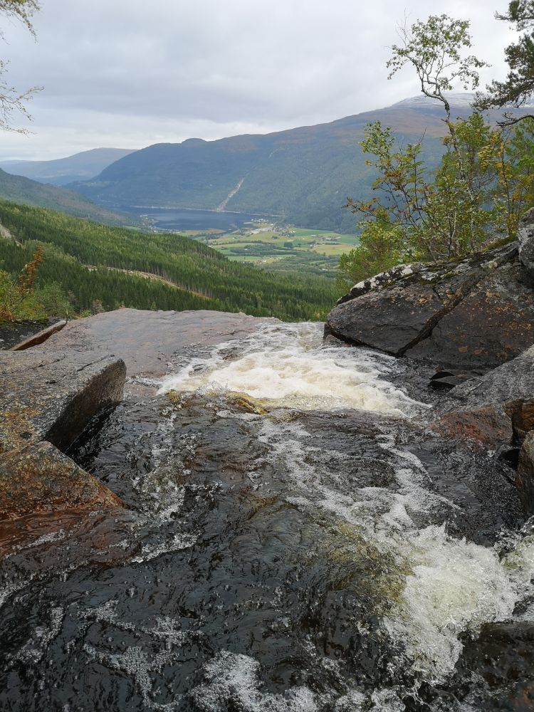
The trail up to Tårnet follows a forest road and a path through the final section. You have reached the destination of this hike when you see the Todalen Sports Association’s trail postbox near a red cabin. The trail offers a scenic view over the village in the direction of the Todalsfjorden.
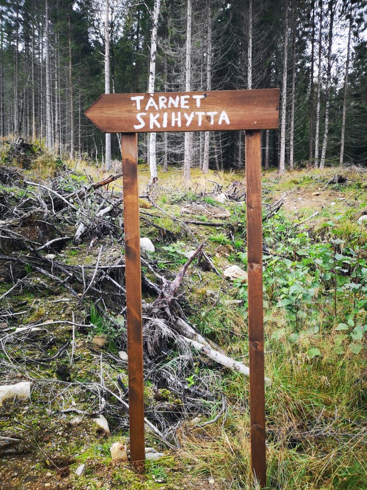
Follow the forest road from the youth centre Todalen Ungdomshus for 3 km. The beginning of the path to Tårnet is marked by a sign on the left side of the road. The path is clearly visible the entire time but includes some sections with stones and tree roots. It can also be slippery here in wet weather.
From Matkroken in Todalen, drive along the southern side of the village for about 2.5 km until you reach the youth centre Todalen Ungdomshus. This is where you can park your car.
Duration
1,5-2t

Sesong
Spring, Summer, Autumn
Signage
No signage or markings
| Surface type |
Distance |
| Grus |
3 |
| Sti |
0,7 |
Alternatively, you can follow a section of an old tractor road instead of the forest road. The tractor road branches off to the right of the forest road after about 200 metres and returns to the forest road further up the hillside.
You can also walk to T
 Driving directions
 Route data
GeoJSON
Route data
GeoJSON