Syltnebba from Rognpilvegen
Surnadal
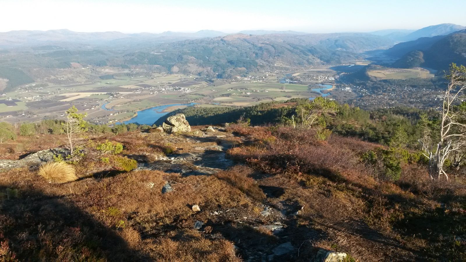
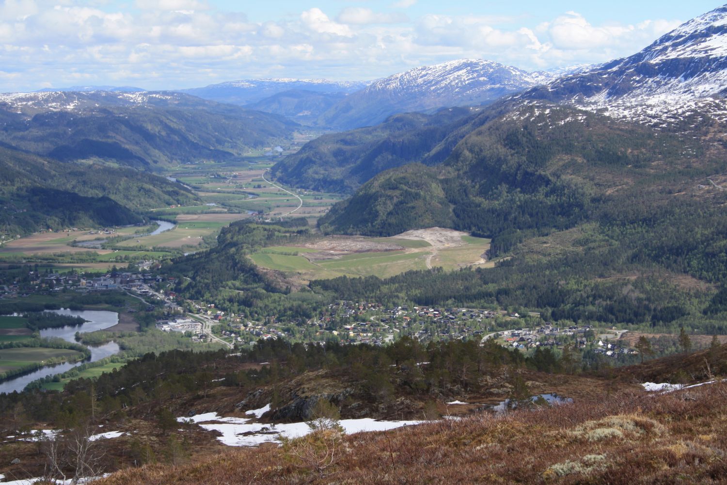
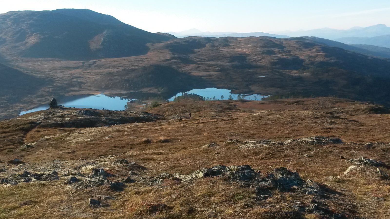
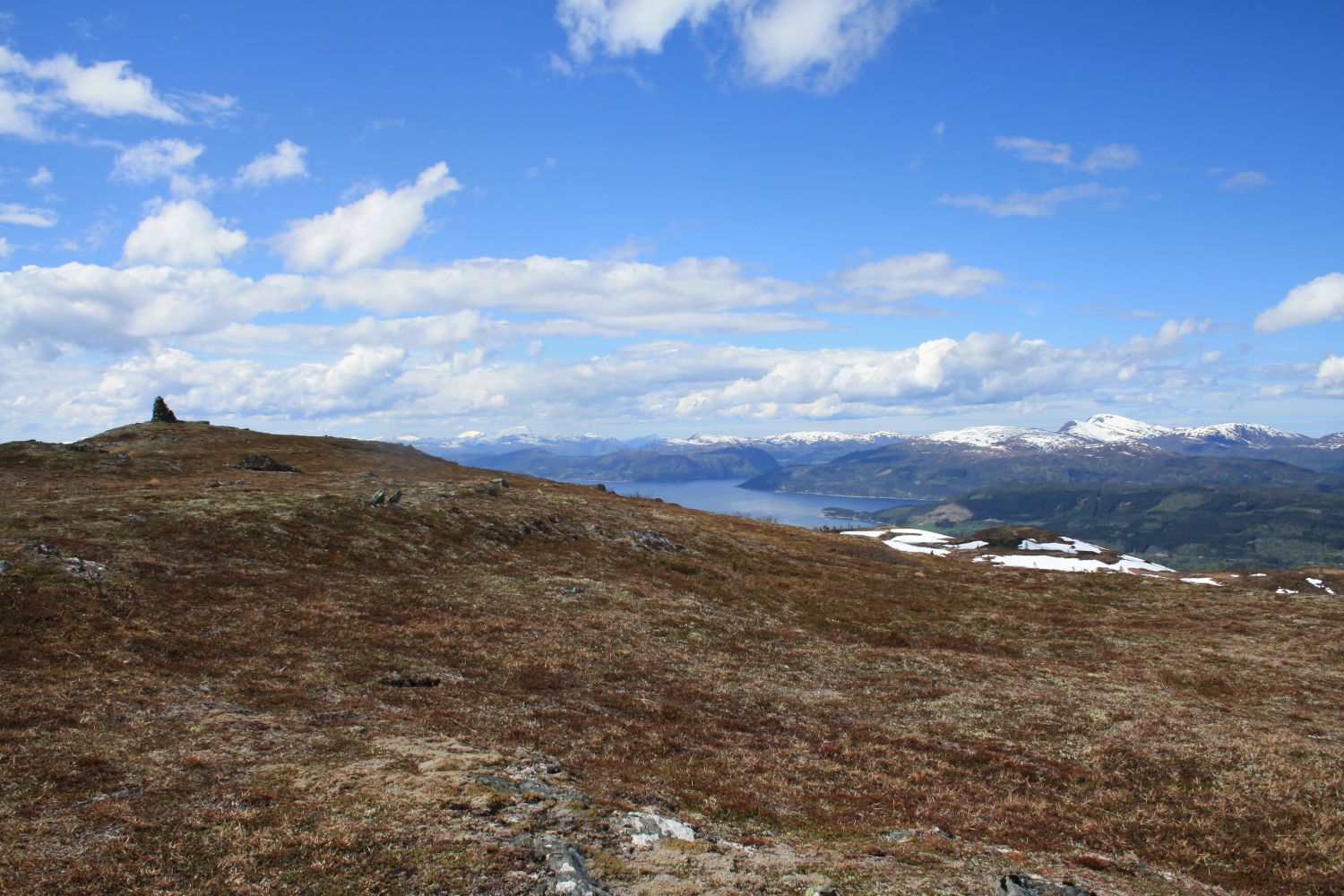
The top of Syltnebba Hill, which rises 667 metres above Surnadalsfjorden, is a beautiful hiking destination with a central location and many alternative routes to choose from. This route is definitely recommended because the starting point is centrally located, allowing many locals to get there on foot. For those driving, there is a spacious municipal car park at the starting point of the trail, so there is no need to worry about blocking someone while you are hiking. The first section of the trail follows a gravel road, while the final section follows a path. Since this trail is quite popular, the path is clearly visible and easy to follow, although it is not signposted. This trail is suitable as both a Sunday family hike and a quick fitness walk in the afternoon!In clear weather, you can get a full view of Surnadal Municipality, stretching from the fjord far up along the valley, from the top of Syltnebba. The nearest mountains are Skjenna, Litlstrengen, and Strengen. If you want, you can also extend your hike to these mountaintops. Another option is to try walking to Syltnebba from Surnadalsøra. You will find a separate description of this trail at morotur.no.
Start walking from the municipal car park at the upper side of Rognpilvegen Road where Beitvegen Road begins. Walk up the forest road (Beitvegen) until it splits. Turn right and keep on following the gravel road. After about 0.7 km, you will come to a boom gate. Walk past it and continue walking up the gravel road. After about 2.7 km, you will come to the ski lodge. This is where the road splits. Turn right and keep walking until the end of the road. The top of the ski slope will be right ahead of you. Then turn off onto a path at the upper side of the road. Follow this path until the top of Syltnebba Hill.
If you are not familiar with the area, you can start from the Amfi shopping centre in the centre of Surnadal. Turn onto Modalan Road at the junction just above the shopping centre and follow this road up to the only roundabout in the village. Continue straight ahead onto Grytvegen Road, then turn left at the first junction after the roundabout. This is where you enter Rognpilvegen Road. The starting point of the trail is on the upper side of the road at the beginning of Beitvegen Road, just before Rognpilvegen starts to swing in the direction of Grytvegen again. You will see a spacious municipal car park here where you can park your car free of charge.
There is a free municipal car park at the starting point of the trail. It is also possible to drive a little further if you have to shorten your hike. There is a boom gate after about a 10-minute walk down the gravel road. Some people park their cars at the timber stacking area next to it. However, we do not know how often this stacking area is used and whether the landowners are okay with hikers parking here.
Duration
3 t. 25 min.

Sesong
Spring, Summer, Autumn
Signage
No signage or markings
| Surface type |
Distance |
| Sti |
4,7 |
There is no public transport to the starting point of the trail, but If you live in the centre of Surnadal Municipality, you can walk there.
 Driving directions
 Route data
GeoJSON
Route data
GeoJSON