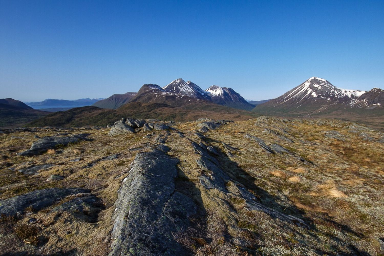
This nice and easy trail offers a variety of terrain and quickly takes you up to a beautiful view of the surrounding mountains.
Route description
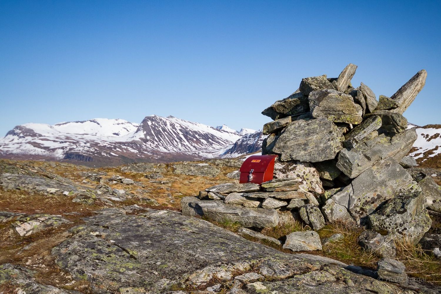
Start walking from Liasetra in Ørskog. Turn right when you reach the last cabin. There is a sign for Mount Svartløkfjellet at the car park, and the path is also marked. The trail initially follows a forest road and then takes a left turn up through the forest. The path can be partially wet when you walk over several marshes. It dries out once you come up to Lysteinen on the ridge towards the mountain top. This is where a slightly steeper section begins, but apart from that, the trail runs through some gentle and moderate terrain and follows a fairly straight line all the way to the top. You will walk past several cairns before reaching the top itself.
Access and parking
From the centre of Sjøholt, take the signposted road to Solnørdalen next to Ørskog Kulturhus (Eng. Ørskog Cultural Centre). Drive for just under 3 km until you reach a large U-turn to the left. You are in Brauta. You can either park here or take the toll road all the way to Liasetra.