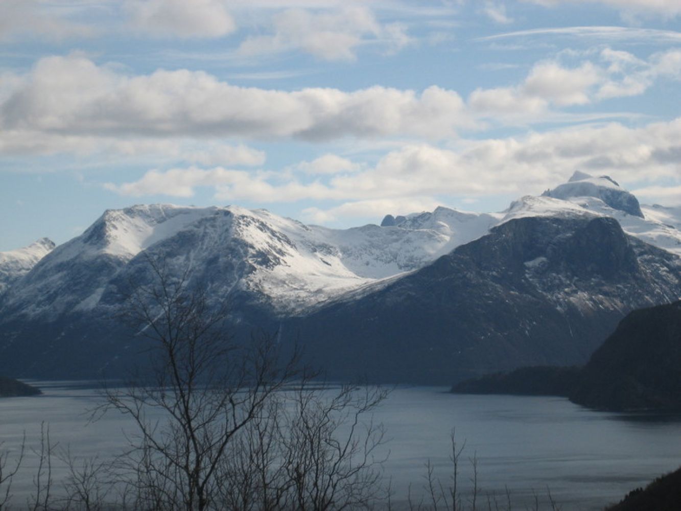
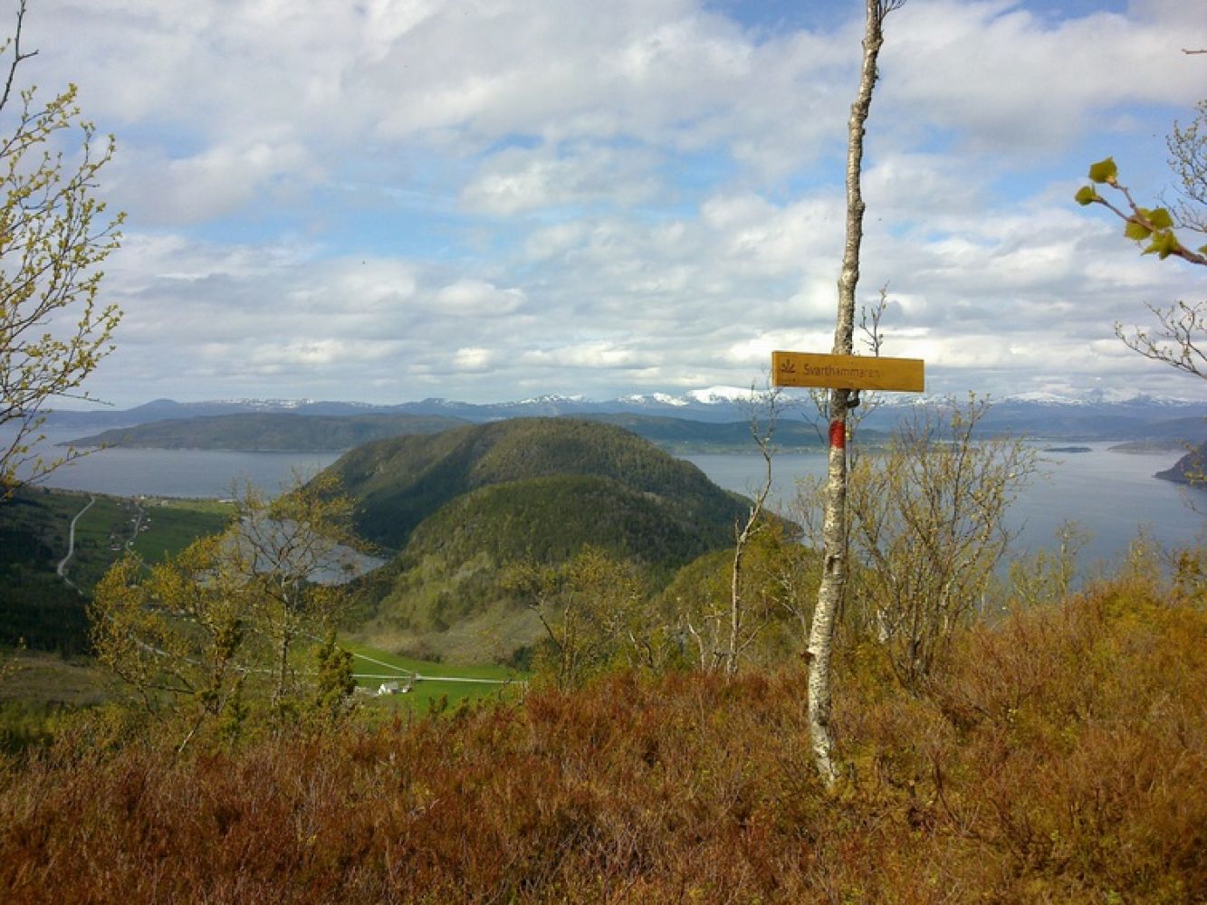
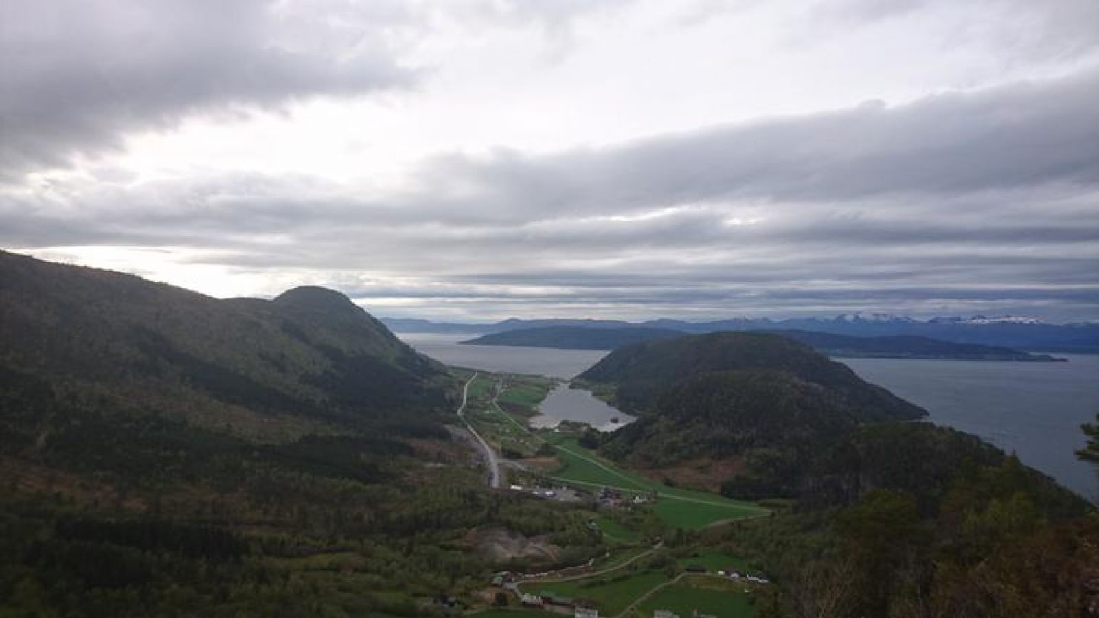
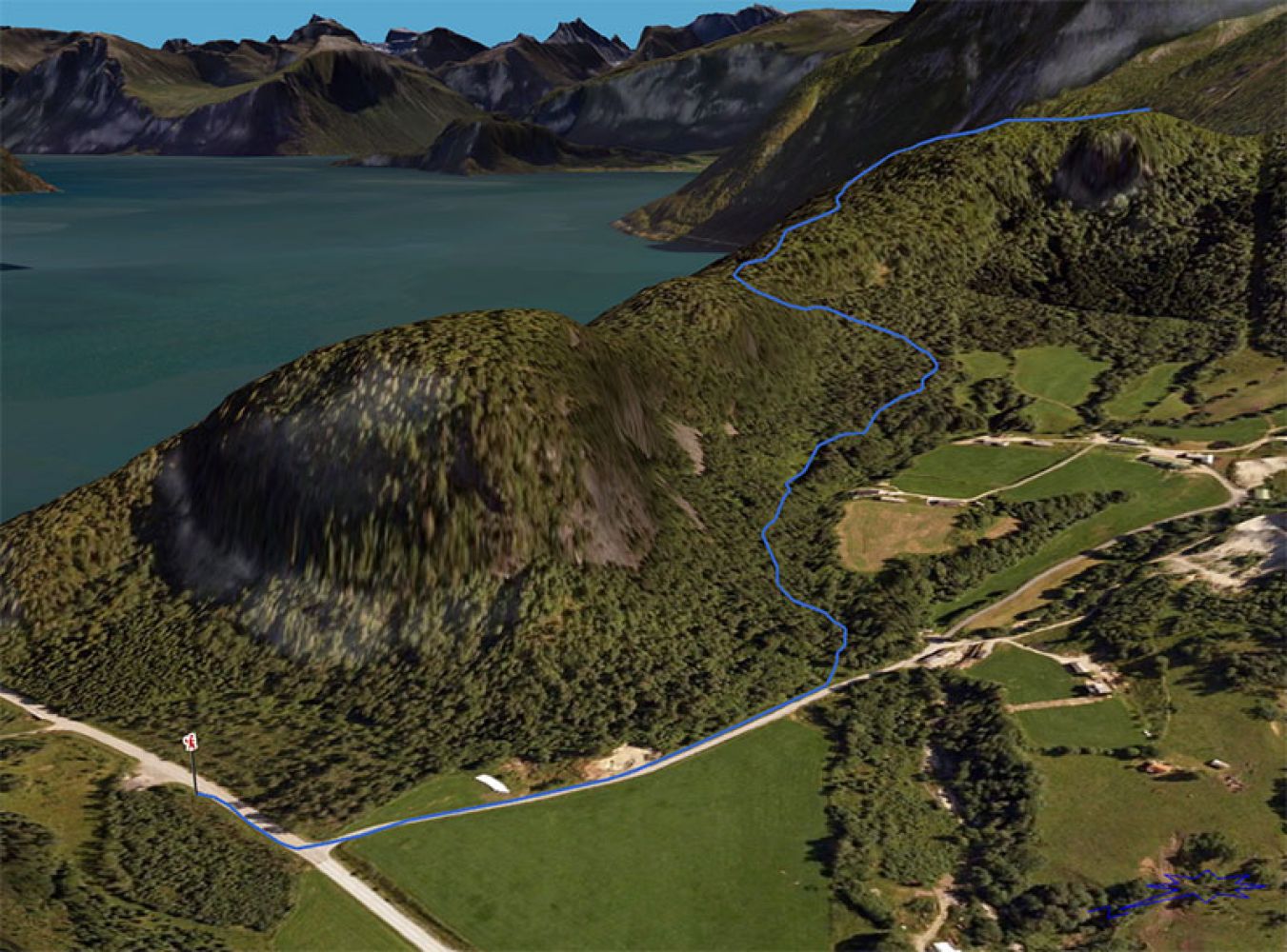
Turn off from road E136 in Vågstranda by the Vågstrand tunnel. Drive straight ahead in the direction of Vågssvingen (the old E136). Park your car at the car park with the sign that reads “Parkering Vågshalsen”. Walk back towards E136 for about 50 m and turn off onto the road up to Øvre Våge. Continue for about 350 m uphill and turn left when you see a marked path and a sign to Svarthammeren. Follow the marked path to Svarthammeren. The trail covers both open terrain and forest areas and primarily follows a nice and dry path. You will get to enjoy a great view of Romsdalsfjorden and Vågstranda. This can be a wonderful evening walk with a view of the sun setting over the ocean. Source: romsdal.com