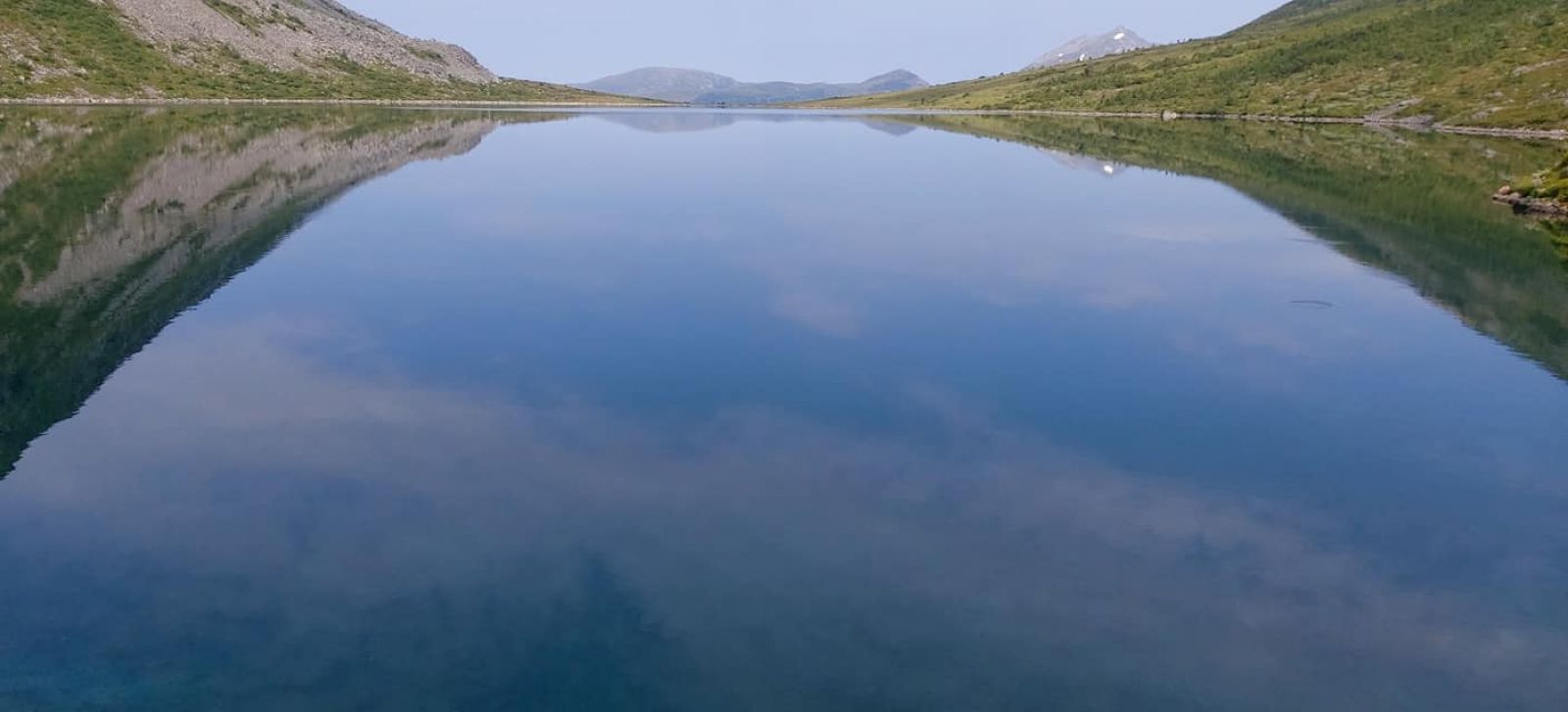
This is an easy trail that starts from Gjerdsstølen and takes you through slightly ascending terrain with open landscape. This is a perfect family trail. As you walk, you will have a view of Mount Lauparen in the northeast and Storfjorden in the west. The idyllic Lake Svartevatnet is surrounded by high mountains on each of its three sides with mountain tops Midmorgonshornet (962 m a.s.l.) and Heimste Skorkja (1322 m a.s.l.). There are opportunities for swimming here. Once you reach Lake Svartevatnet, you can continue walking along its right side and look at a nice boathouse which matches the surroundings just perfectly.
Route description
Start walking from the car park in Gjerdsstølen towards the river. Turn left and follow the path for about 300 m until you reach a bridge. Walk over the bridge and follow the path as it continues further ahead along the right side of the river. The first half of the trail involves minimal climbing. The final part has a slight ascent. There are some marshy areas along the trail.
Access and parking
Drive up through the village from the junction in Dyrkorn. Take the turn to the left after about 1.5 km and continue further for about 1.5 km until you reach a junction with a road to Ødegård. Turn right at the junction and you will come to the toll road (30 NOK) after 150 m. Continue driving for about 1.5 km until you reach Gjerdsstølen, a lovely summer mountain farm area with old buildings and a small river running across the farm.
Alternatively, you can start your trail by parking your car where the toll road begins near Ødegård and walking up to Gjerdsstølen. The 1.5 km long gravel road will take you there.
You can park your car in Gjerdsstølen.
Hiking route
Blue
Distance
2 km one way
Elevation
0 m
Duration
1 t. 35 min.
Highest Point
603 masl
Mobile coverage
Map route
Public transport
There is a bus connection between Ålesund and Valldal. Please check http://www.frammr.no