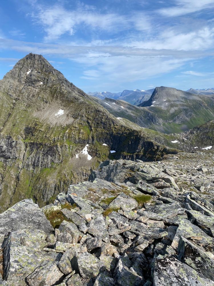
This long hike covers various types of terrain. You will walk through marshy ground, a dense birch forest, and along a narrow mountain ridge before reaching the flat-topped summit with a panoramic view.
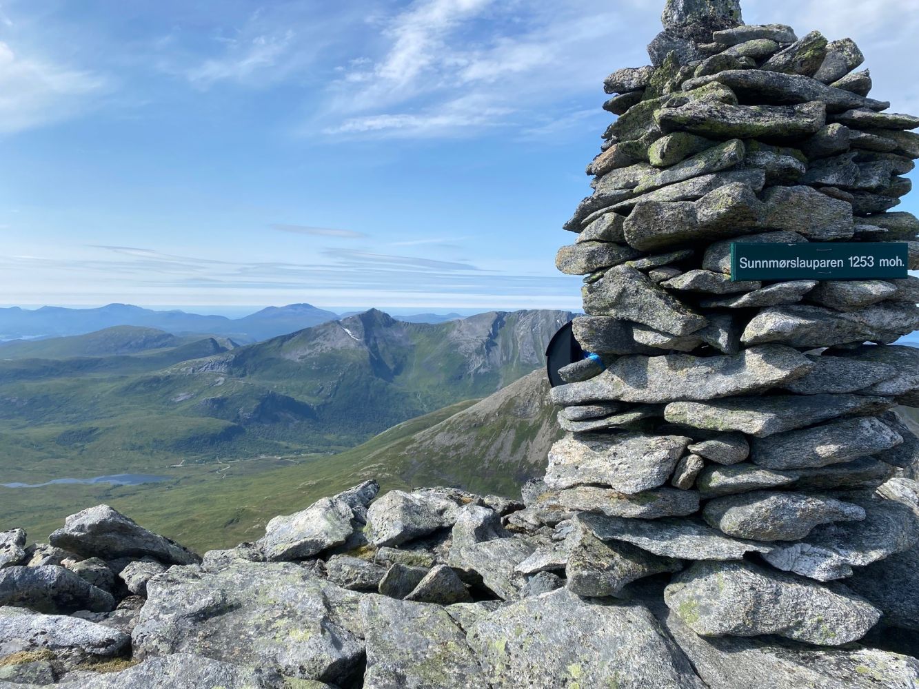
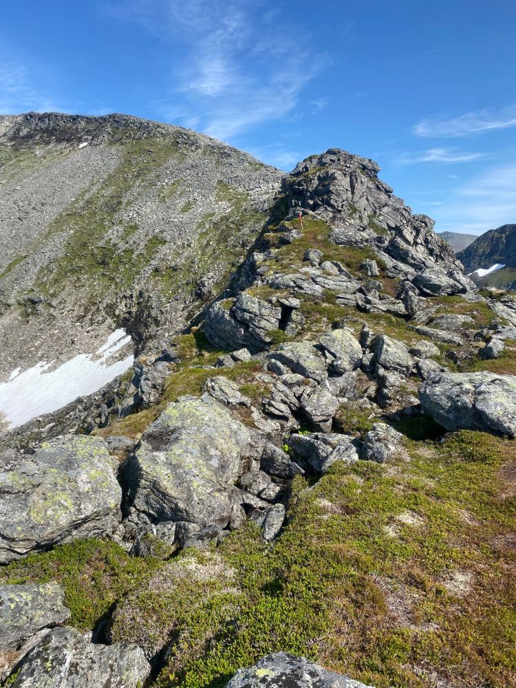
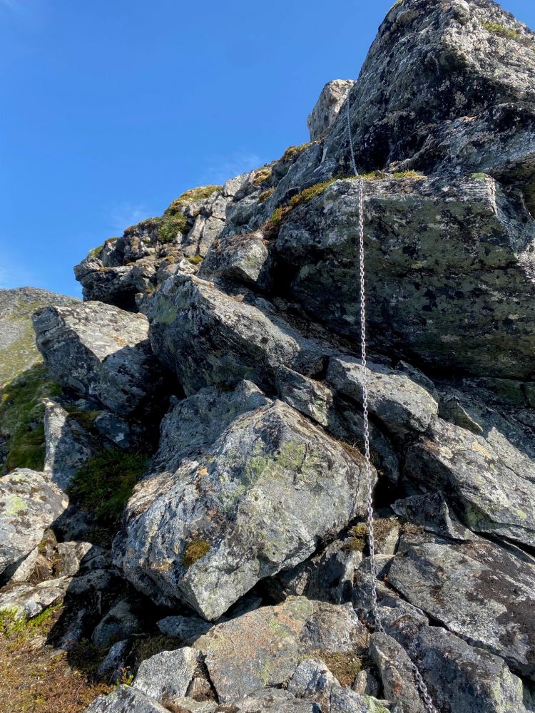
The trail is marked and signposted from Grytalisetra. Follow the path towards Lake Grytavatnet until you cross a river and climb a couple of hills. Turn left at the sign for Mount Sunnmørslauparen and Mount Blåfjellet. You will walk past Lake Heivatna in the south. You can now see Sunnmørslauparen, or Sunnmørslauparlægda, in the east. The ridge of the mountain is fairly easy to walk along, except for one small section that may seem a little lofty. The ridge becomes wider once you pass that section. You will walk through some areas of rough scree before reaching the large flat mountaintop. There are two cairns here – feel free to visit both to get a view of the entire area. In the west, you will see the village of Vaksvika, the Storfjorden, and the island further away. Lake Grytavatnet lies in the south surrounded by the mountains Fremste Skorkja, Storbotnshornet, and Svartvassegga. In the east, Mount Lauparen dominates the view. You will see the Tresfjorden and Molde in the north. You can return the same way, but it is worth taking a circular route by following the northwestern ridge of the mountain back down. The scree area is fairly steep, but not too difficult to walk through. There are no lofty sections here.