Sunniva’s Route to Dinglavatnet
Volda
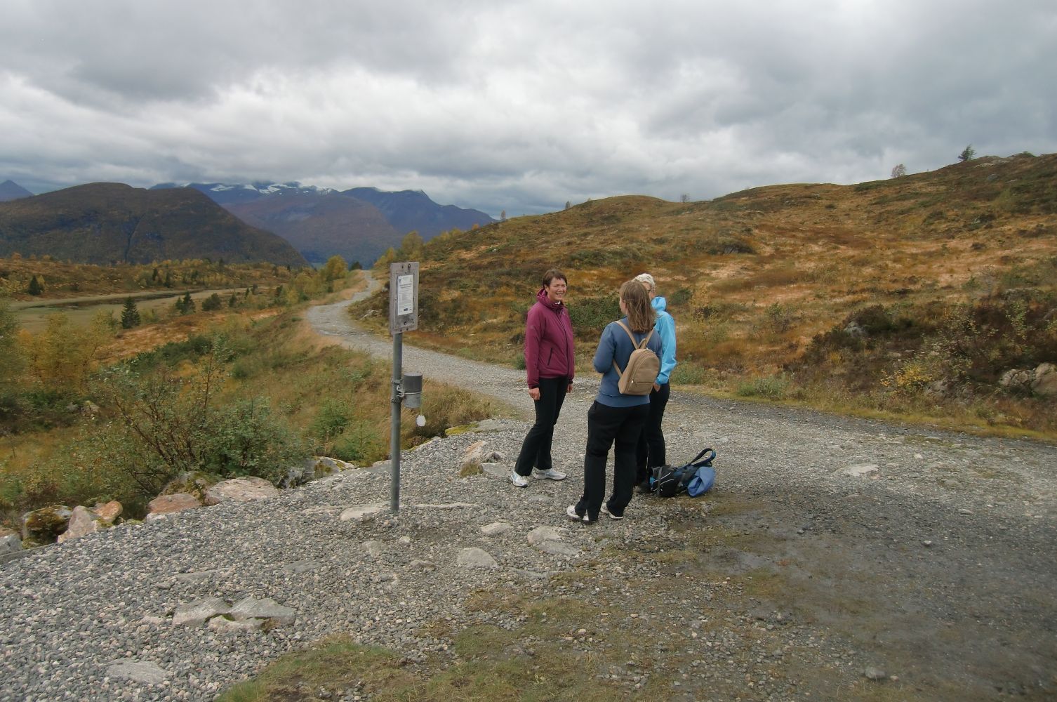
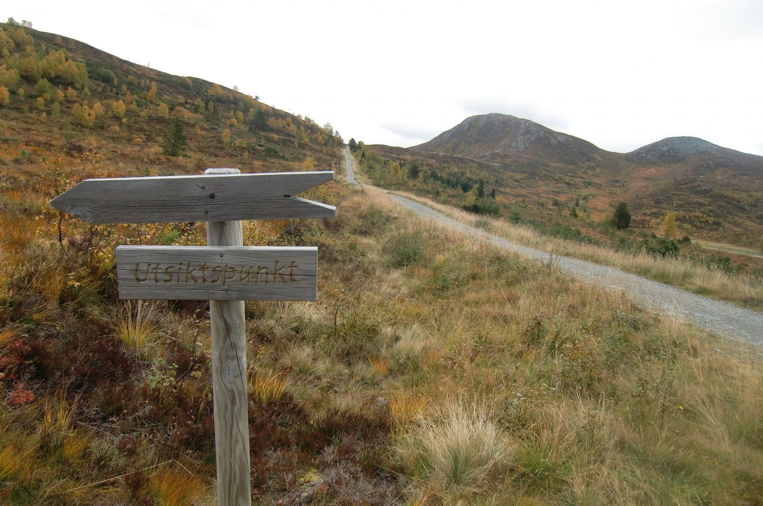
Lake Dinglavatnet (along with Turnhytta/Melshornet) is the most popular mountain hiking destination for the residents of Volda. There used to be a good path that led from the Håmyra area up to the mountain, but after a forest road to Lake Dinglavatnet was built by the municipality and the land owners in connection with the expansion of the water plant Volda Vassverk, a new gravel road to Dinglavatnet/Turnhytta appeared. There is also a good quality path that runs further to Mount Melshornet, 807 m a.s.l. on the border between the municipalities of Volda and Ørsta. Between 1 May and 30 September, you will find a trail checkpoint for Ti-turmål (Eng. Ten trail destinations) just before you reach the dam on Lake Dinglavatnet. Sunniva is the one who manages trail journals with nearly 5000 new entries every season. Dinglavatnet and Turnhytta (with a path further to Melshorn)
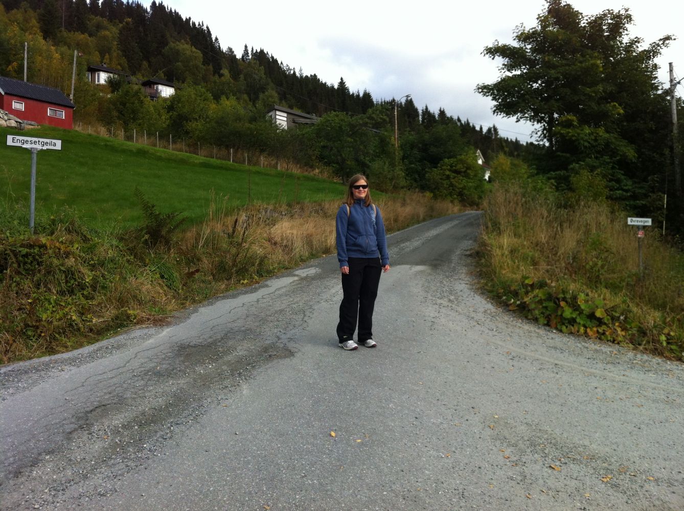
Sunniva’s Route starts from Freemason Lodge’s meeting hall on Engesetvegen Road. From there, walk towards Gamletunvegen Road and onto Kleppevegen Road. Follow Kleppevegen Road until you reach Engesetgeila Road which will take you to Håmyra. From there, follow the path that goes north towards the forest road to Lake Dinglavatnet. Follow the forest road as it goes through Prestesætra and Røyshytta until you reach the trail destination.
This trail starts from Freemason Lodge’s meeting hall just next to Volda Upper Secondary School. An alternative start of the trail is from the end of Raudemyrvegen Road where the forest road actually begins.
Engesertvegen Road next to Volda Upper Secondary School.
Duration
3 t. 10 min.

| Surface type |
Distance |
| Asfalt |
2 |
| Sti |
0,9 |
Wheelchair users and people with strollers can start the trail from the boom gate where Raudemyrvegen Road ends and the forest road begins.
 Driving directions
 Route data
GeoJSON
Route data
GeoJSON