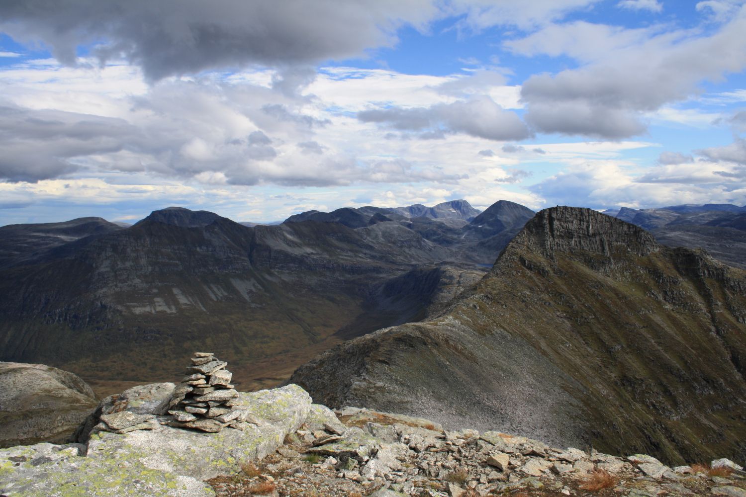
Mount Ytre Sula rises to 1318 metres above sea level but the hike to its summit can be tackled by many people. You will have a fantastic view of the Trollheimen mountain range, the small villages, and the variety of landscape formations around the fjords of Nordmøre. Take a break at the spring well Suloppkommet. A sip of the ice-cold water can be one of the highlights of this hike.
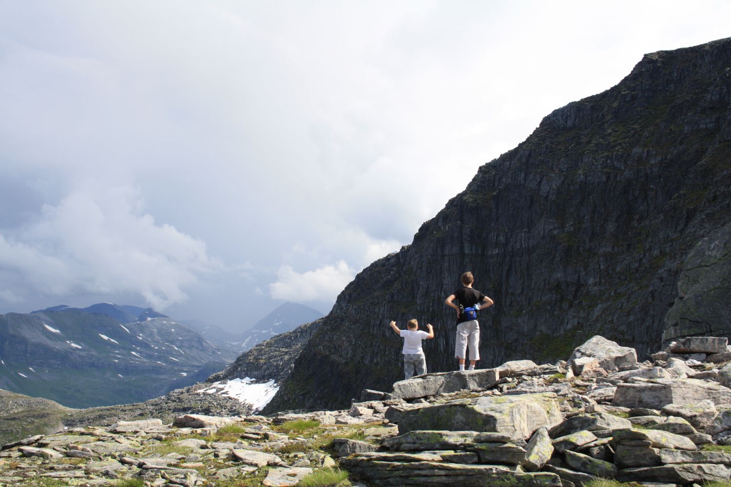
Drive to Nordvik and take Blomlivegen, a toll road that branches off the upper side of the road just above the Nordvik Assembly House. Drive to the end of that road. Walk over the dam and follow the path on the other side of the river. The first section of the trail covers a marshy area where it may be relatively hard to walk (especially during rainy periods). Once you come up to the treeless hills a little later, the surface becomes more solid and easier to walk on despite more elevation gain. The path is also better marked after the marshy area. The final section of the trail runs through an area of stones and scree. Aim for the red marks that indicate the route. Note where the last red mark before the summit is to be able to find the path on your way down.
There is space for parking at the starting point of the trail. Please avoid parking at the turnaround!
Duration
4 t. 5 min

Sesong
Spring, Summer, Autumn
Signage
Both signed and marked
| Surface type |
Distance |
| Sti |
4,4 |
Please remember to pay the toll fee of NOK 40!
It would be best to use private transport.
 Driving directions
 Route data
GeoJSON
Route data
GeoJSON