Strengen from Vang
Surnadal
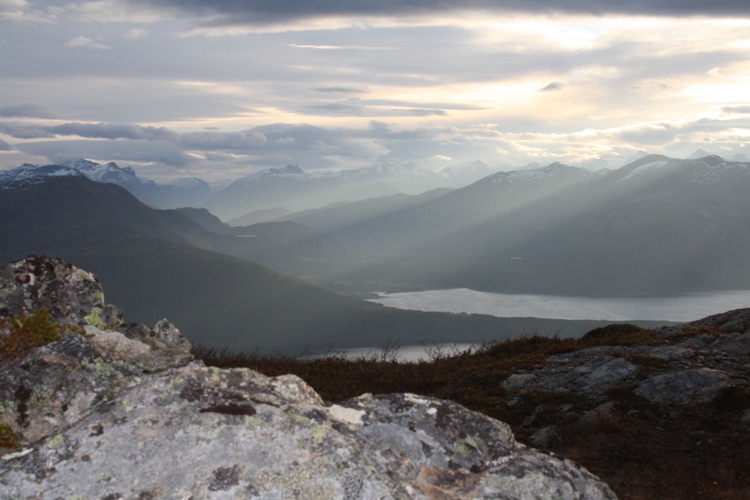
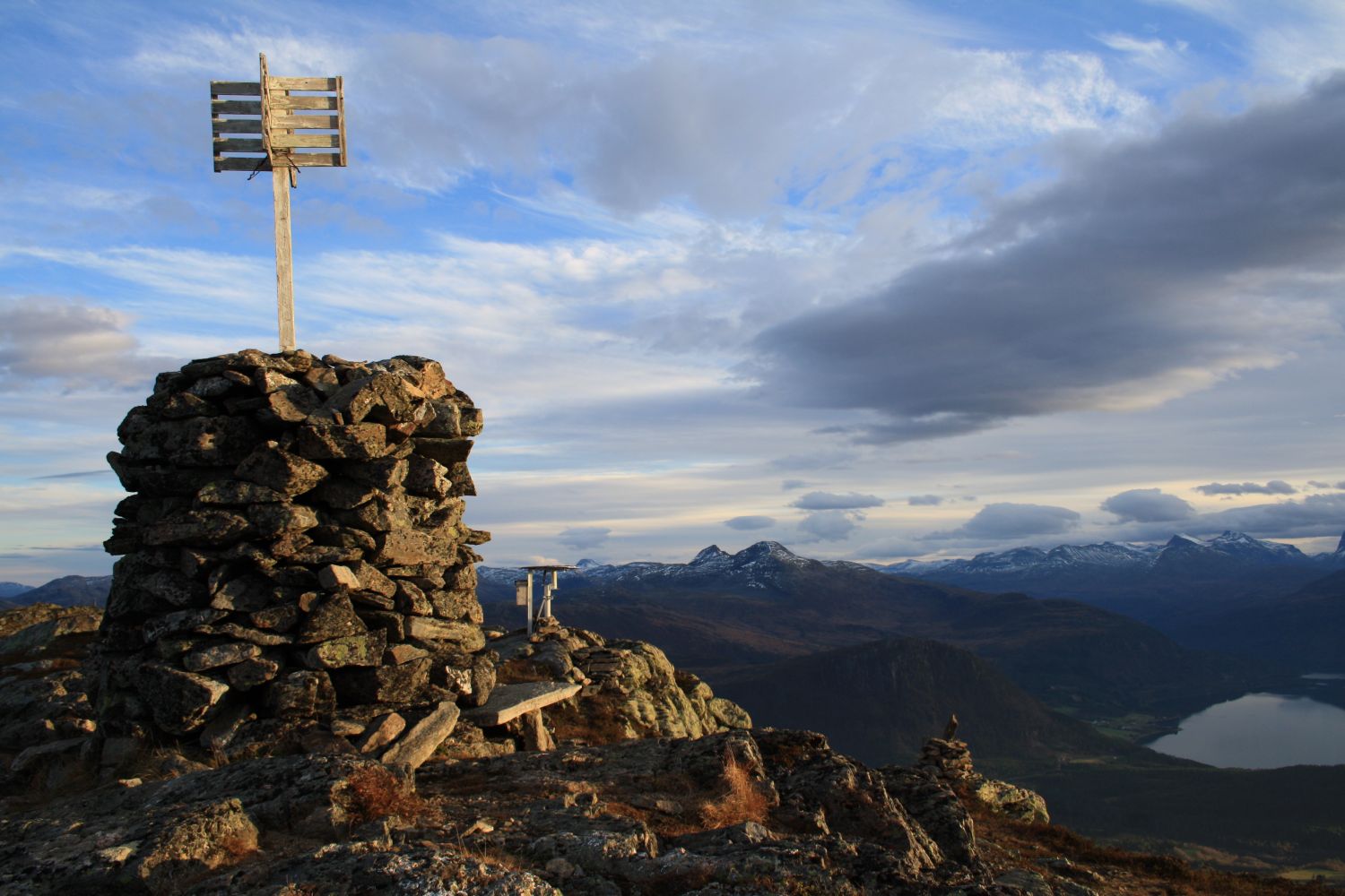
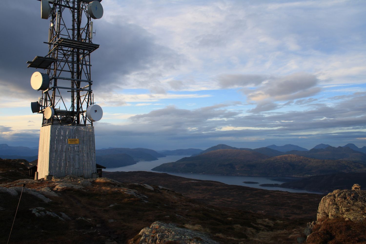
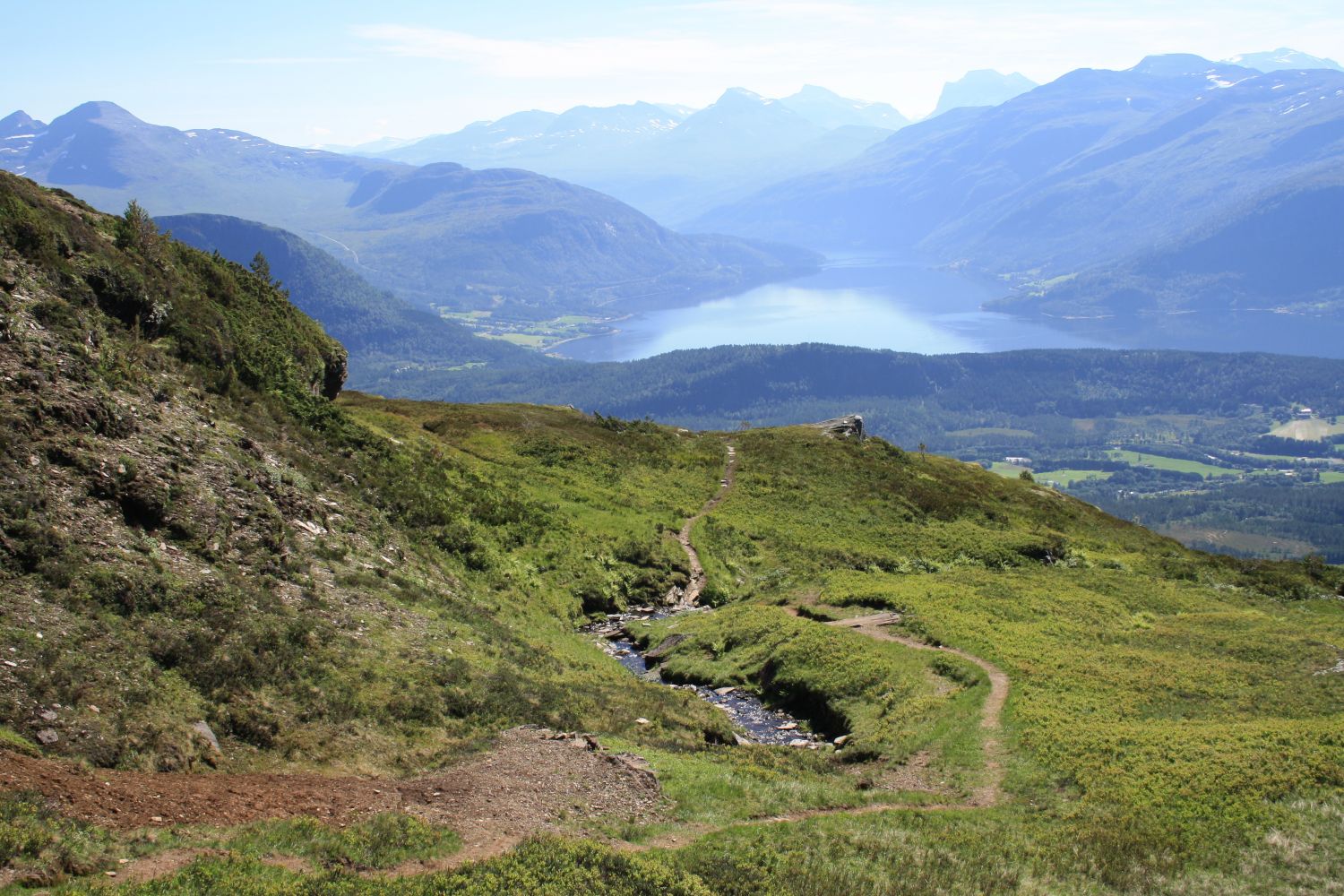
The peak of Mount Strengen rises to 890 metres above sea level and is accessible from several small villages in Surnadal. In this trail description, we have chosen Vang as the starting point. The first section of the trail covers forest terrain and follows a forest road and a path. Above the tree line, the landscape becomes more open and you can enjoy the view of the fjords and the mountain range. The mountaintop offers an amazing view in all directions.
Drive to Kvanne and turn off the main road in the direction of the sports venue Vang Skiarena. The exit road is signposted and easy to find. You will find a car park at the upper side of the road by the sports venue. The sign that reads “Strengen” near the car park is clearly visible from the road. If you start from the car park, it is almost impossible to go in the wrong direction. The trail is marked and signposted.
Leave your car at the car park at the upper side of the road next to the sports venue Vang Skiarena.
Duration
3 t. 45 min.

Signage
Both signed and marked
| Surface type |
Distance |
| Sti |
3,9 |
No Private transport only.
 Driving directions
 Route data
GeoJSON
Route data
GeoJSON