Storvasshytta Cabin from Overøye
Fjord
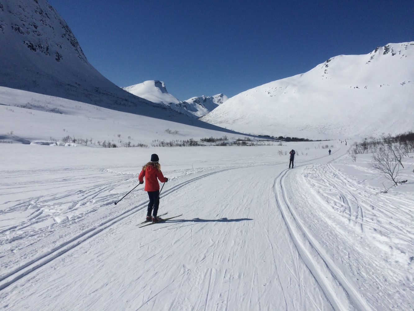
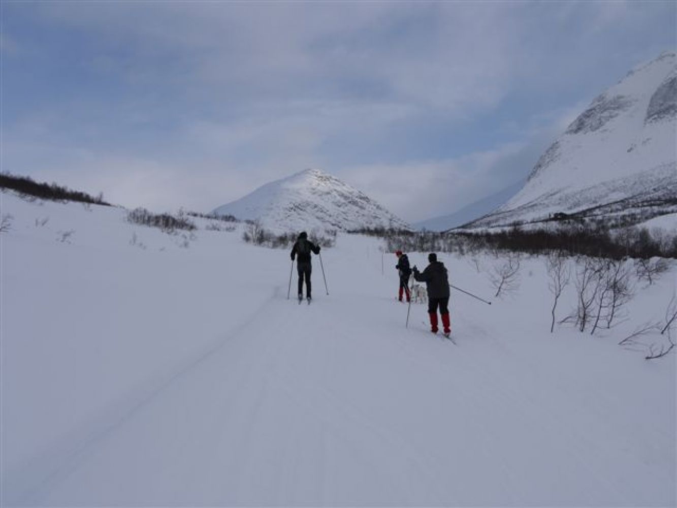
The trail from Overøye to the Storvasshytta cabin is a nice skiing opportunity for everyone. The cabin is open for everyone to visit. You can also go over to Valldal and Innfjorden, as well as the cabin “For Fattig og Rik”, which are not far away.
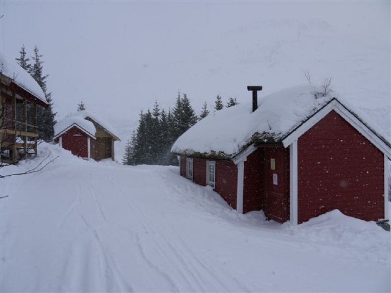
The trail from Overøye to the Storvasshytta cabin is a nice skiing opportunity for everyone. If it seems to be too long for children, you can make the gapahuk shelter at Fokhaugstova your trail destination. It is 2 km away from the car park (Langsætrane‑Pusken) through gradually ascending terrain.
The trail takes you through an amazing outdoor area further into the valley with the fantastic mountaintops all around you. There is fish in both the river and the lake up in the valley. In winter, you can go skiing along groomed trails right outside your doorstep or go up to one of the amazing mountaintops in the area! This is one of the snowiest areas of Sunnmøre. The distance from Fokhaugstova to the Storvasshytta cabin is about 3.5 km. The cabin is open to everyone, not just the residents of Stordal. It is located on the border of three different municipalities. You can also go over to Valldal and Innfjorden, as well as the cabin “For Fattig og Rik”, which are not far away. At Storvasshytta, you can rent a boat and go fishing on the lake. You are also welcome to use the cabin for cooking food and staying overnight. It is up to you whether you want to pay for this.
You can park your car either next to the alpine centre in Overøye or at the new car park in Kvitlane-Langsætrane. The parking fee is NOK 50 (automatic payment).
Duration
2 t. 20 min.

Mobile coverage
Partially
There is no bus service between Mo and Overøye. Please check frammr.no for other bus routes between Ålesund and Valldal.
Plotted on the Romsdalen tourist map 1:100 000 by Ugland It Group AS and Norge 1:50 000 Valldalen 1319-4 (2010) map by the Norwegian Mapping Authority.
 Driving directions
 Route data
GeoJSON
Route data
GeoJSON