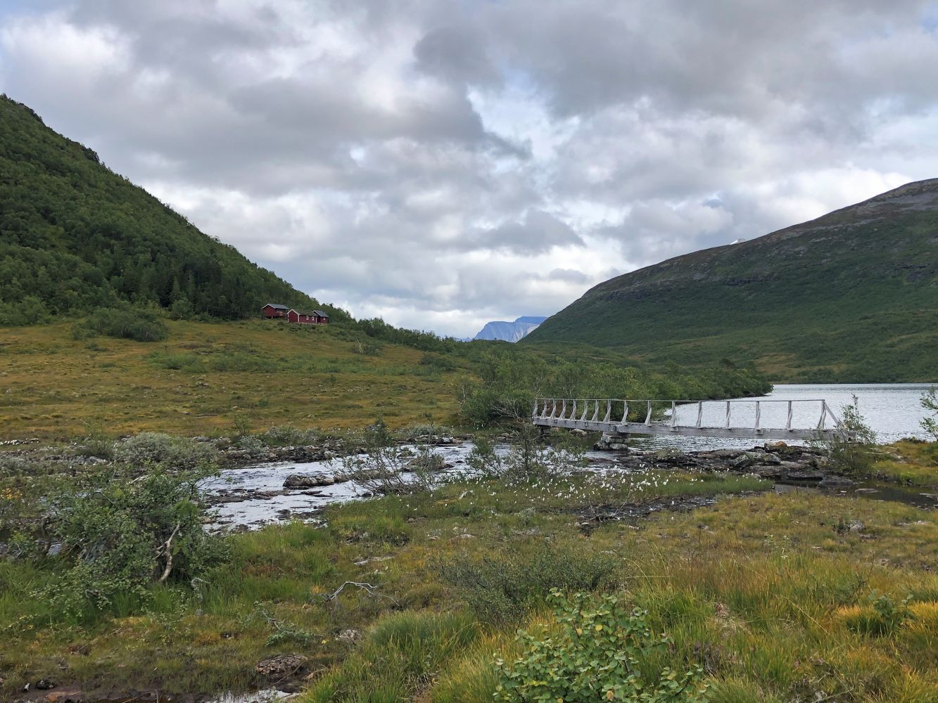
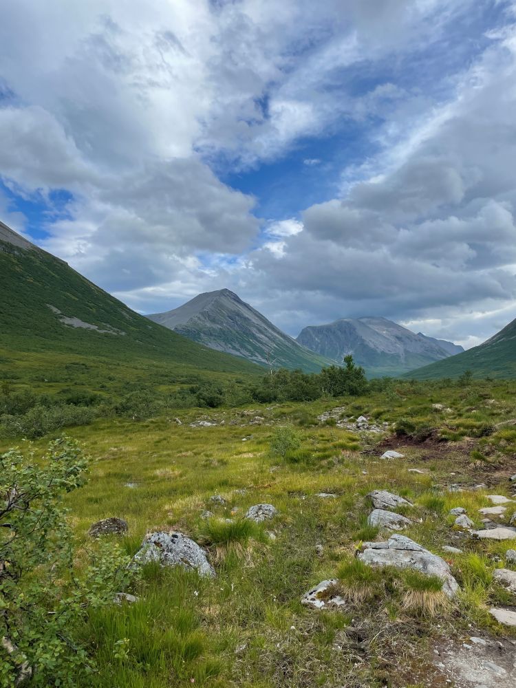
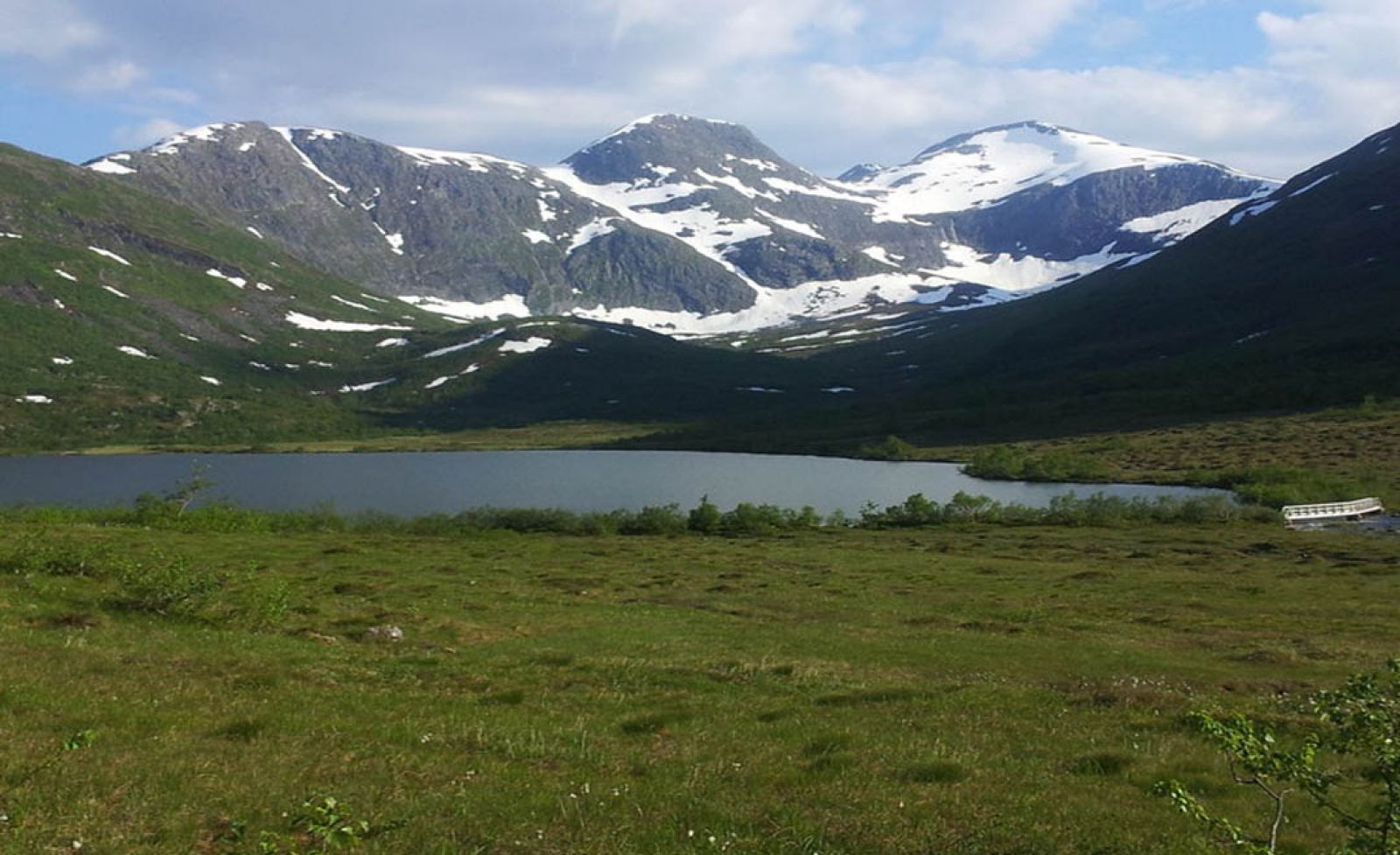
The trail to Storvasshytta is a nice walk from Langsætrane. It will take you about an hour. It is a lovely trail that is suitable for the whole family. The trail is 5.5 km long and ascends gradually the entire time. The destination is very popular for both skiing and hiking. Storvasshytta is a cabin where you can stay overnight. The main building has a living room, a bedroom, simple kitchen equipment and a wood stove. You can also stay overnight in the annex building. There are two boats and fishing nets in the boathouse that everyone can use. Everything here is ready and available for you and your friends to use. Once you reach Lake Storvatnet, you can choose to walk further around Mount Kamben to Lake Litlevatnet or Bøstølen, to the Espedalen valley or to Myklebustsætra in Valldal.
The path starts on the right side of the river and continues along the river for a while. When the path starts ascending slightly, walk over the bridge across the Ådalselva river. Continue walking straight ahead with the river on your left-hand side. Once you reach Lake Storvatnet, you will see a bridge over the mouth of the river leading up to the Storvasshytta cabin. On your way back you can either follow the same route or choose to walk along the other side of the river. The path can be slightly unclear as you walk through the marshy area to Elvabytet. As you pass the bridge over a river that flows out of Lake Litlevatnet, you will see Trollkyrkjegarden on your left. Once you reach Fokhaugstova, you can choose to either turn left over the bridge and continue down in the direction of Kvitlene or walk further towards Pusken.
Drive along County Road 650 to Mo and turn off onto the county road in the direction of Overøye. Continue driving past the ski resort, take the left turn in the direction of Kvitlene after about 1.3 km and drive over the bridge. You can easily park your car near the bridge or at the top the farm where the trail starts. The parking fee is 50 NOK (automatic).
Duration
3 t. 30 min.

Sesong
Spring, Summer, Autumn
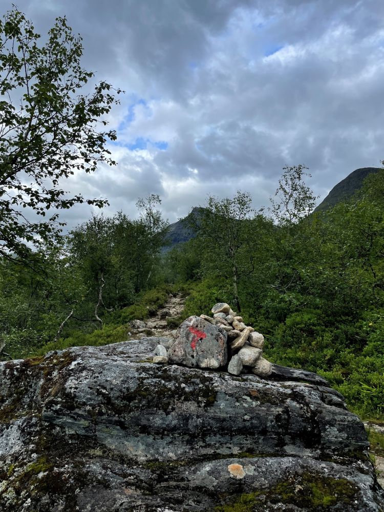
Signage
Both signed and marked
| Surface type |
Distance |
| Grus |
0,6 |
| Sti |
5,1 |
There is no bus connection between Mo and Overøye. Please check the general bus service between Ålesund and Vallda at frammr.no
 Driving directions
 Route data
GeoJSON
Route data
GeoJSON