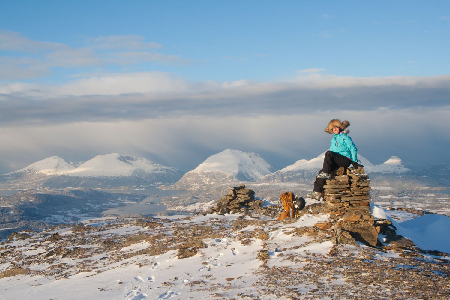
Stortussen (765 m a.s.l.) lies on the border of Surnadal Municipality and the former Halsa Municipality. It is the highest peak of the characteristic mountain range Tussan, which is clearly visible when you drive along E39 through the former Halsa Municipality.From Stortussen, you will get a panoramic view over Tustnastabbene, the high mountaintops on the islands of Tustna and Stabblandet. Although this trail is relatively short – not more than three kilometres up to the mountaintop – it gives a great opportunity to ski down an almost 600-metre high slope all the way back to your car.
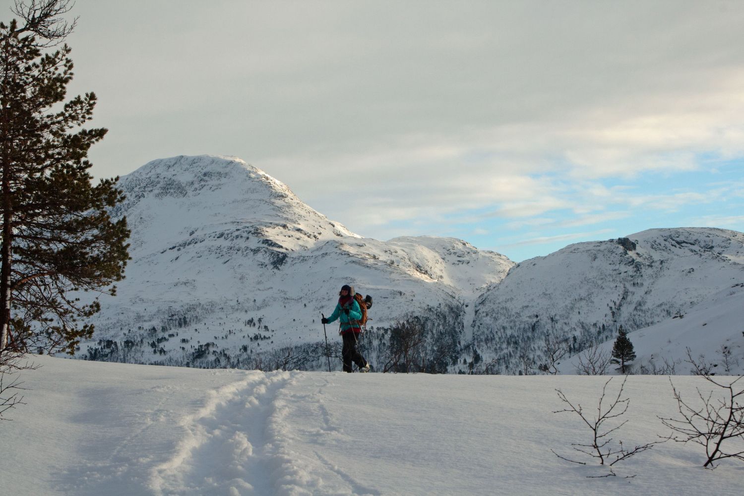
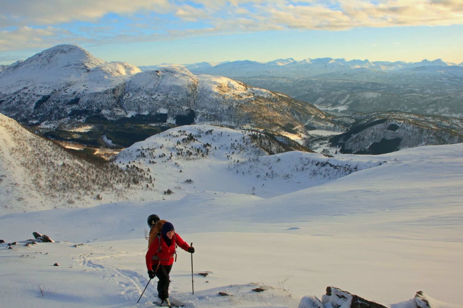
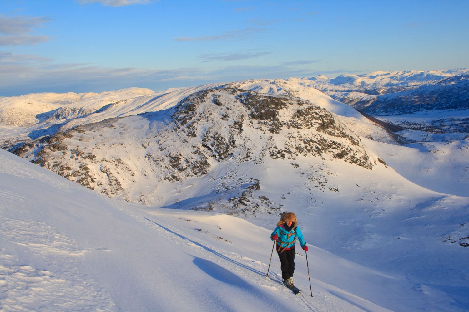
Begin by following the trail signposted to Jutulbu up from the car park. The upper section of the hill is over 30 degrees steep, and it is not recommended to climb up here when there is ice crust on the snow.Once you reach a flat area, continue following the hillside and drift north into the valley. Follow the river all the way into the valley before you start ascending west towards Stortussen. The mountaintop itself is easiest accessible from the south.
Follow the same route on your way back.
Drive along RV65 between the former Halsa Municipality and Surnadal Municipality. You will see a large car park just south of Lake Haugavatnet. There is a sign that reads “Jutulbu” at the car park.
Duration
2 t. 10 min.

Alternatively, you can start this ski trip from Settem in Bøfjorden and go up past the cabin called Jutulbu, which is owned by the Kristiansund and Nordmøre Trekking Association.
 Driving directions
 Route data
GeoJSON
Route data
GeoJSON