Norsk

Storsetra

Surnadal

The trail at a glance

Storsetra is located on a hill with a beautiful view of Stangvikfjorden and Breifjorden. The walk down with its changing panoramic views of the magnificent fjords and mountains is especially recommended. The trail is quite steep, but it follows a nice gravel road and a relatively dry path. It is suitable as both a family hike and a quick workout in the afternoon. There are several routes from Storsetra for those who want a longer hike. You can, for instance, walk for about 20 minutes to Jøstrin, which offers an even wider panoramic view. If you prefer less climbing or perhaps walk with a stroller, you can also get to the destination by following Stangviklivegen, a relatively flat forest road of high standard. Please see the description of the alternative route below. For this option, there is a campsite in Grantrøin about a hundred metres from the car park.

Route description

A gravel road goes up on the right side of the road near the car park. Follow it for about 300 metres and turn off onto a path to the right. Walk up this path all the way to Storsetra. It is about 2.2 km from the starting point down by the fjord. You will cross two forest roads on your way. Once you get to the first one, Stangviklivegen, follow it for about 100 meters before turning off onto a path on the upper side of the road. At the second road crossing, follow the path straight up, but turn off to the left when the path splits shortly after. An alternative and flatter route up to Storsetra follows Stangviklivegen, a forest motor road that goes along the hillside in Stangvika. Drive up Lerbruvegen Road and cross the Prestelva river over the Lerbrua bridge. Drive further ahead and turn left onto a side road that will take you back to Prestelva. You will see the municipal water plant on your right. Leave your car at the car park near the water plant. Walk around the boom gate and onto the forest road. Follow it until you come across the waymark of the path going up from Rønnan, or follow the forest road all the way to Storsetra. Just continue walking along the forest road and take the second right turn after the path from Rønnan crosses your way.

Access and parking

From the junction at the Kvanne ferry terminal, drive towards Stangvika for about 6.5 km. After you have passed the abandoned Stangvik elderly people’s home and before the magnificent “gold miner’s villa” Rønnan on the upper side of the road, you will see a gravel road going up from the right side of the road. Park your car at the timber stacking area on the lower side of the road. Park your car at the starting point of the trail.
Hiking route
Blue
Distance
2,2 km one way
Elevation
374 m
Duration
2 t. 5 min
Sesong
Spring, Summer, Autumn
Highest Point
388 masl
Signage
Both signed and marked

Map route

Surface type Distance
Sti 1,4

Public transport

No

Other

You can download a tourist map of the area here: http://www.ilsoya.no/blog/post/88947/nytt-kart-for-sommerturer.?ispage=false. It could be useful to have it in your phone while hiking. 
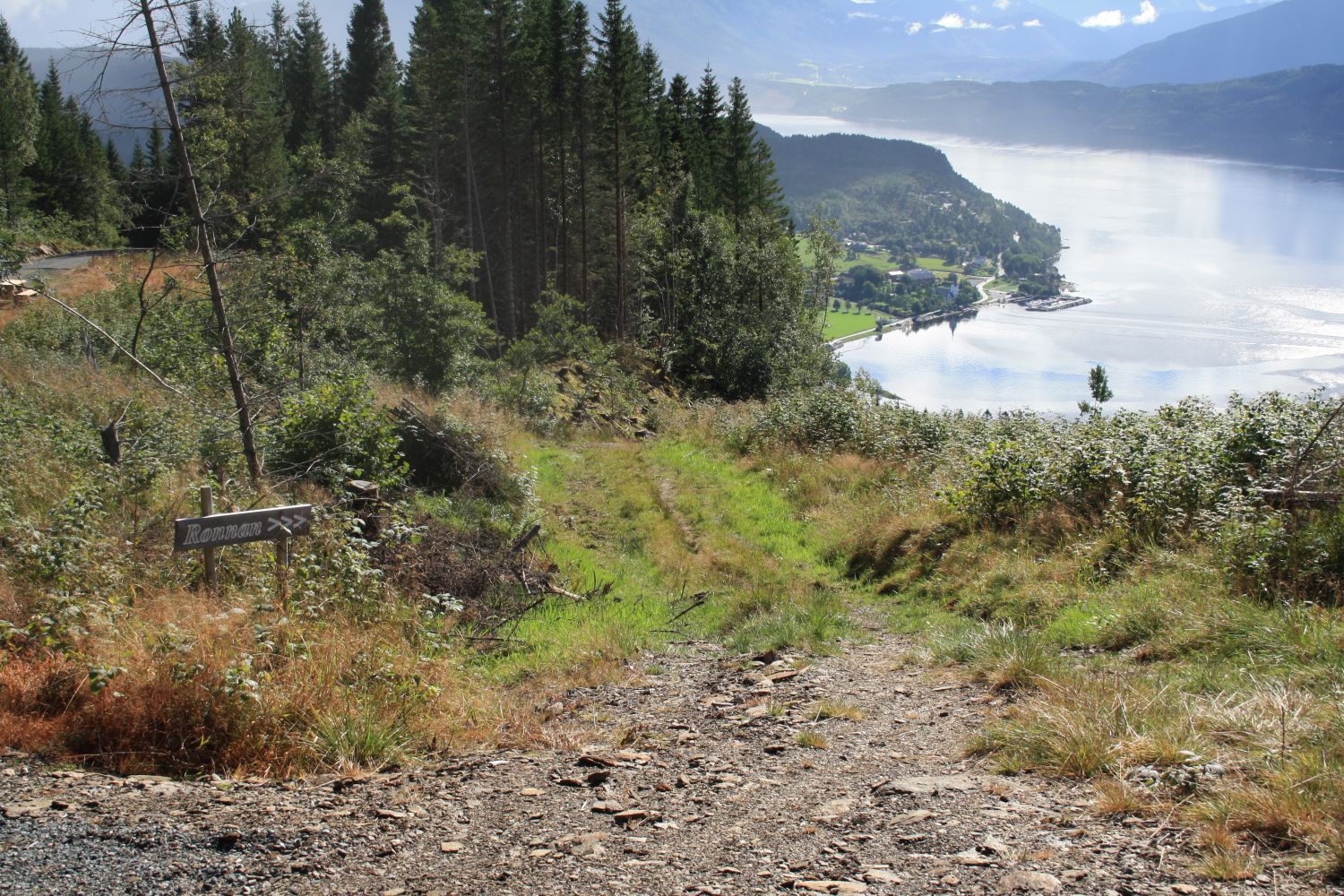
You might see some grazing animals along the way. Please remember to close all the gates you open. If the stacking area for timber, which we suggest you use as a car park, is in operation, you can also park your car next to the abandoned elderly people’s home.

Map

Surnadal hiking map
Driving directions

API endpoints

Route data GeoJSON