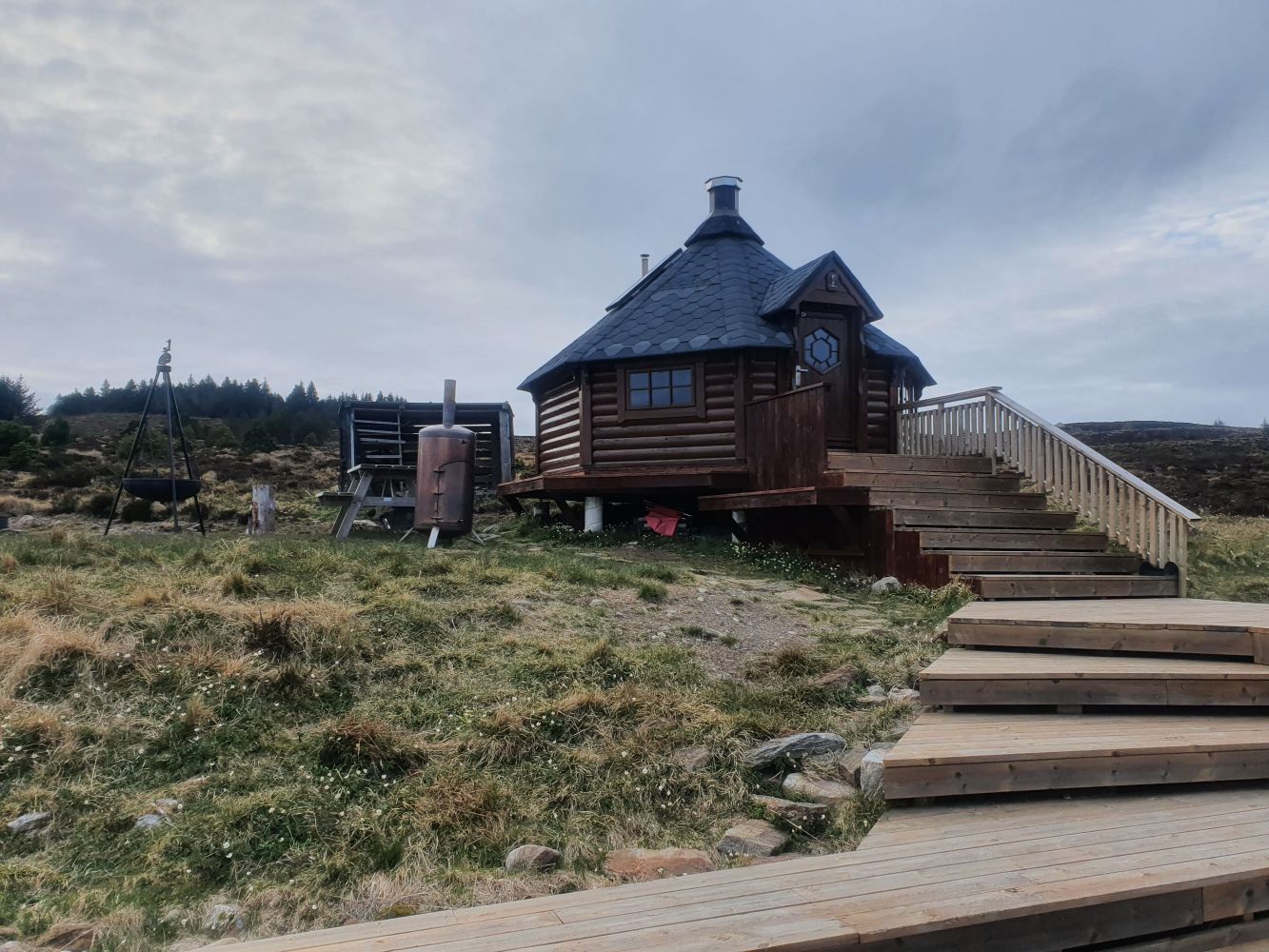
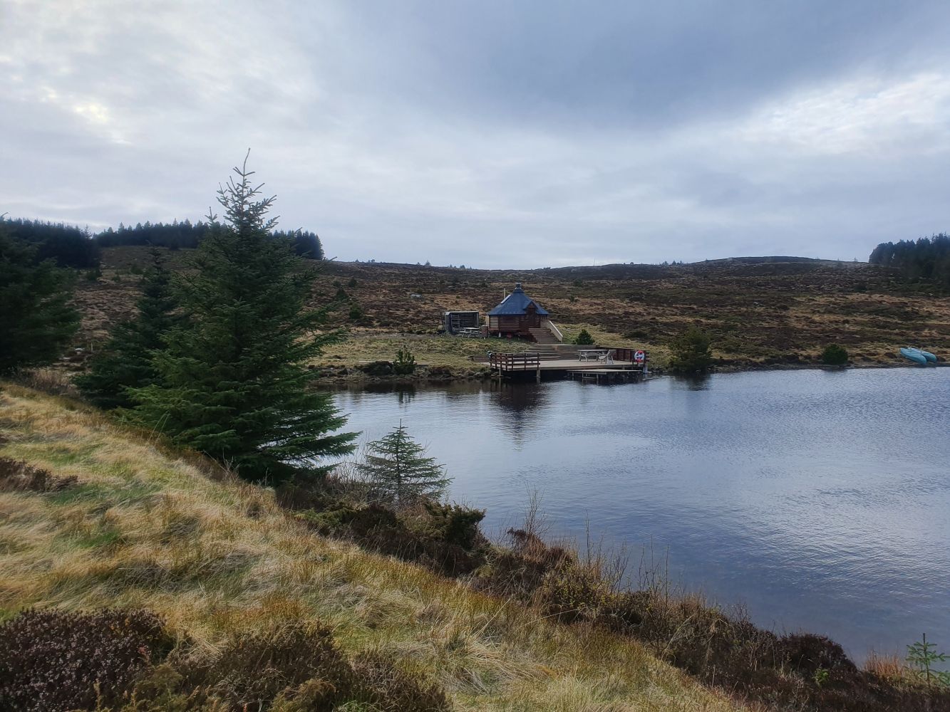
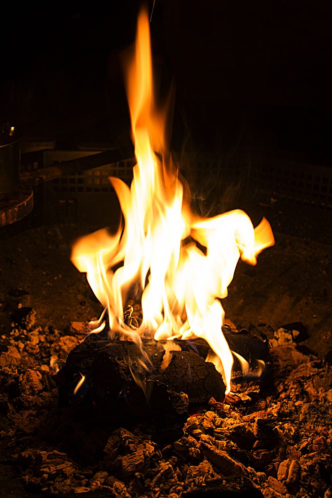
This trail leads up to Stormyrhytta which is originally intended to be used as a grill cabin. It is now used for accommodation, social gatherings, barbecue, frying waffles, and games. There is also a wood stove in the cabin. The first aid kit is on the inside of the door. There is a large platform and several benches outside of the cabin. During the summer months there are opportunities for canoe paddling. Ice-skating is also possible in the area. The range of activities here is gradually increasing. The trail up to the cabin passes through the forest and has several viewpoints. There are also alternative routes up to the cabin, such as the one that goes via Varden. The area is also characterised by diverse birdlife.
Route description
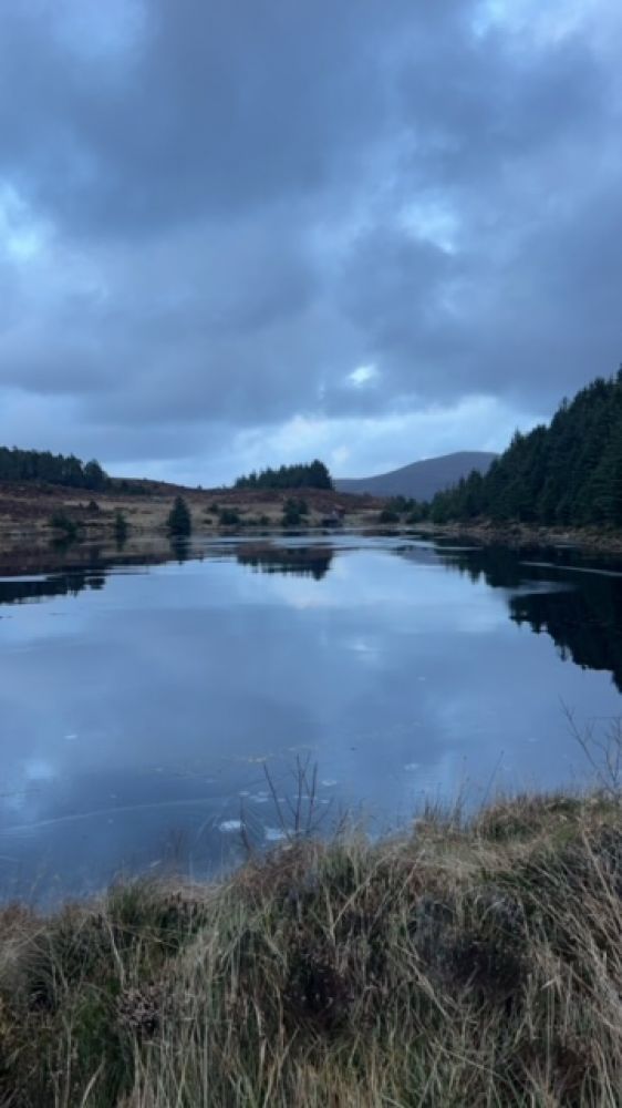
The trail starts from the residential area in Austnes and goes through the pine and spruce forest. There are several alternative routes up to the Stormyrhytta cabin. We recommend that you walk along the way that leads up to Varden and continue straight ahead in the direction of Røhammeren following the path towards Myskja along the edge of the mountain. You will come across a viewpoint with a bench. Continue past this viewpoint until you come to a fork in the path. Keep to the right, and you will soon come to Stormyra. Once you are up facing the dam, you will see the Stormyrhytta cabin. Follow the sign that reads “Stormyrhytta”. (The sign will be set up in spring 2017.)
The trail destination is the Stormyrhytta cabin. You can follow the same way back to the starting point or explore other paths in the mountain area.
Access and parking
Take a ferry from Skjeltene to the island of Haramsøya.Walk or drive up to the starting point of the trail in the residential area, take the turn to the right and then immediately to the left onto the Jonasveien street past the health station. Continue straight ahead at the junction and follow the road up to the area where it flattens out. Look for a hiking sign on your left-hand side right after you pass house number 106 along Jonasvegen.
Park your car in Skjeltene. There is no need for a car on the island of Haramsøya. Parking in Skjeltene is free of charge.
Hiking route
Green
Distance
1,17 km both ways
Elevation
130 m
Duration
40 min.
Sesong
Winter, Spring, Summer, Autumn
Highest Point
154 masl
Signage
Signed
Mobile coverage
Map route
Surface type
Distance
Sti
2
Public transport
Express boat from Ålesund, Hamnsund, Storekalvøy, Lepsøy, Fjørtofta and Harøya. Bus connection to Skjeltene from Brattvåg and Moa.