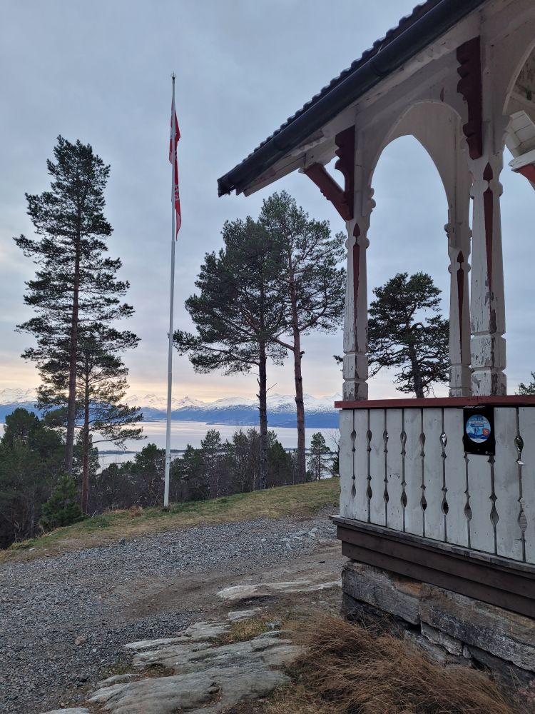
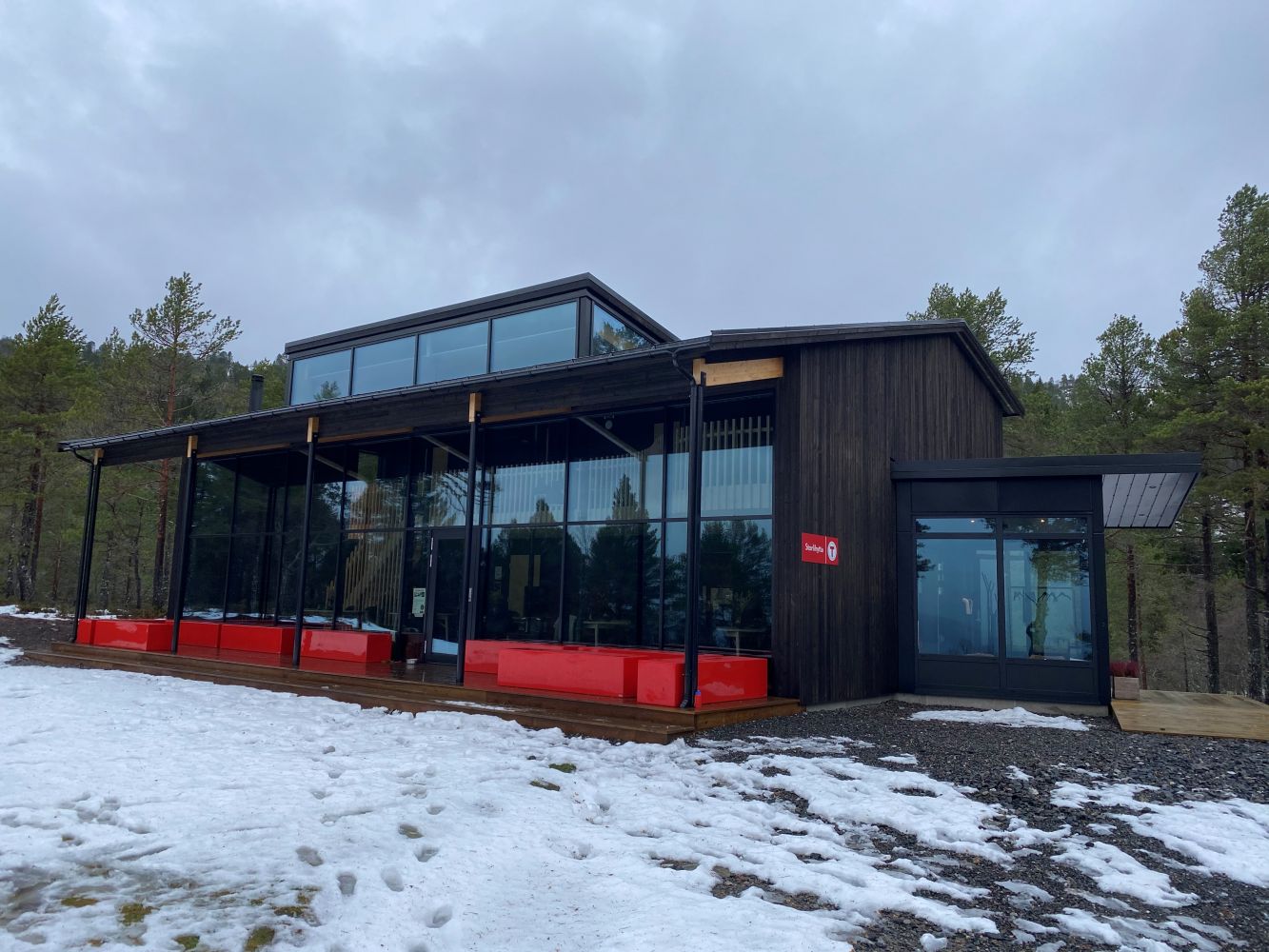
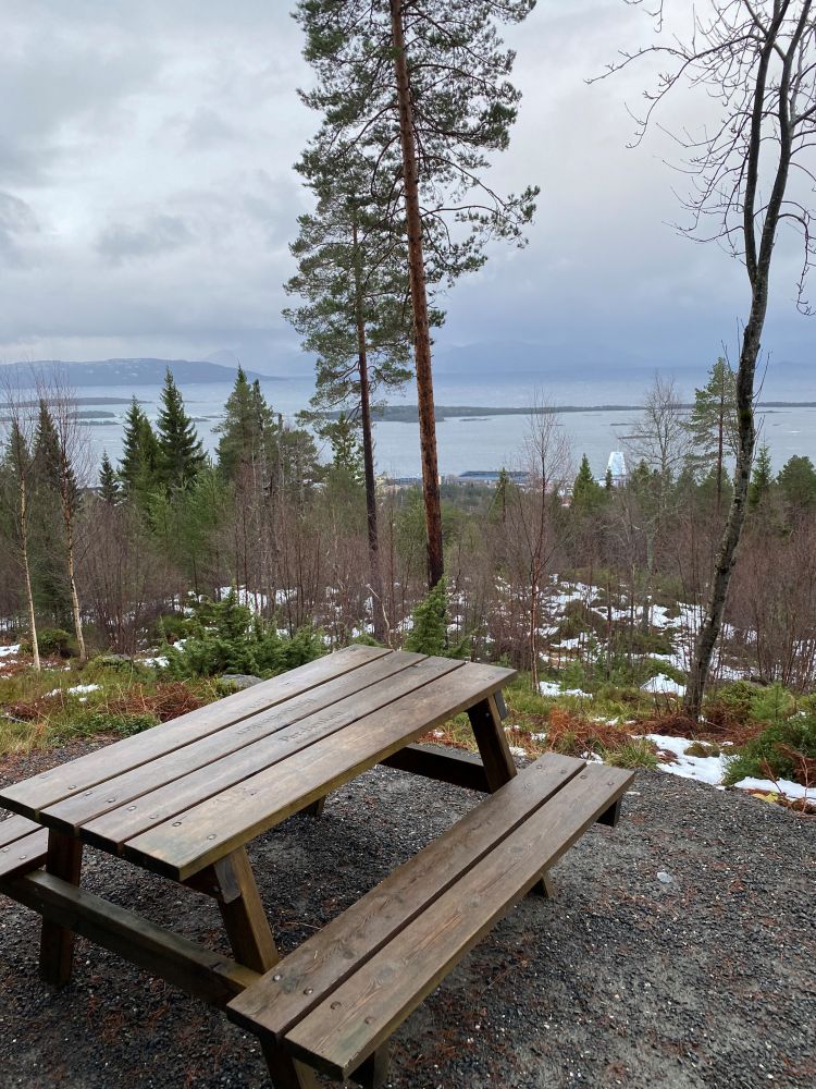
A nice hike up the hillside north of the city. There are great views and benches along the trail if you need a rest. DNT Romsdal took over the Storlihytta cabin in 2015 and have now restored it and built a new, modern building next to the old one. The cabin has an open cafe on Wednesdays and Sundays.
Route description
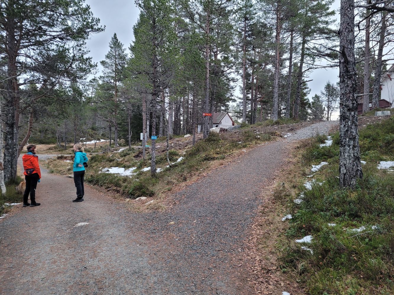
There are many good trails to the Storlihytta cabin. This route starts from the parking area by Romsdal Museum. From here, you will see a trail marked "Den grønne korridor" ("the green corridor") over Moldeliveien and up between Holmarka and the TRÆFF football pitch. Follow the road that turns up a steep hill past the village building and further up to Grua. Here the path divides into the lit ski trail to the right and the "green corridor" to the left. The route will take you along a good path or forest road up a steep hill. You will pass an outdoor activity park and a few benches along the way. After a while, the path will flatten and you will arrive at Storlihytta cabin to your right.
Access and parking
The route starts from the parking area by the Romsdal Museum.