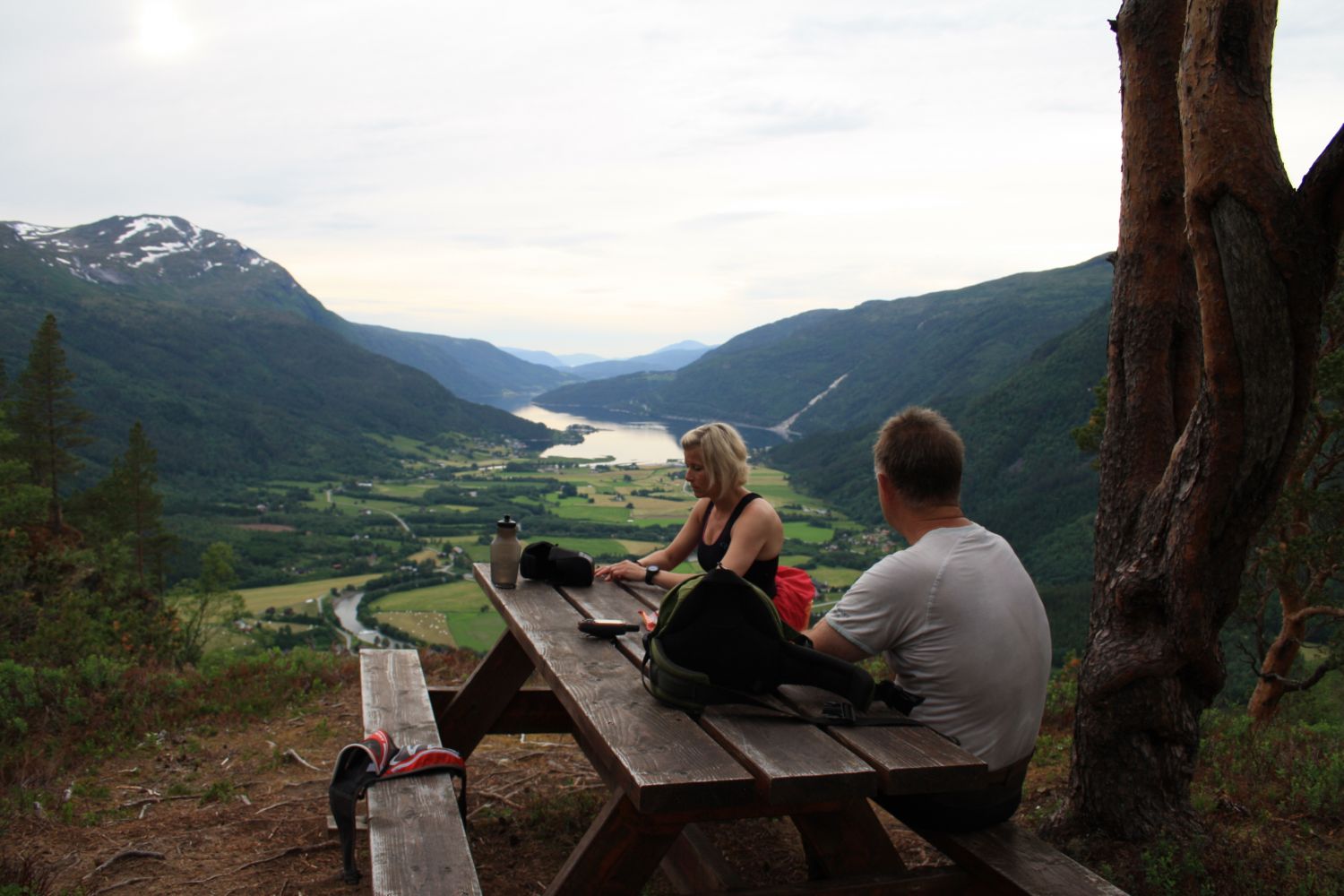
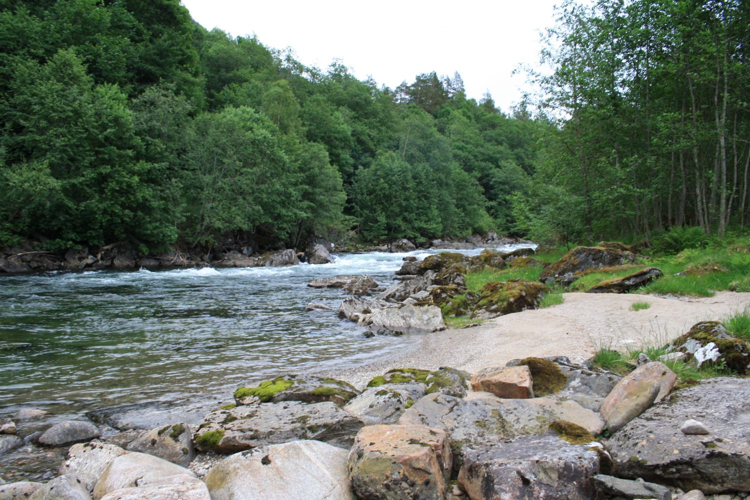
The trail to Storhaugen follows a circular route which can be tackled by most people. Once you reach the hilltop, you can take a rest on the bench while enjoying a cup of coffee with a scenic view over the village. You will also get to enjoy the view of the village on your way down. The final section of the trail runs along the river Toåa. At the riverbank, you will find a lovely picnic area with a gapahuk shelter, a barbecue spot, a sandy beach, and a swimming area.
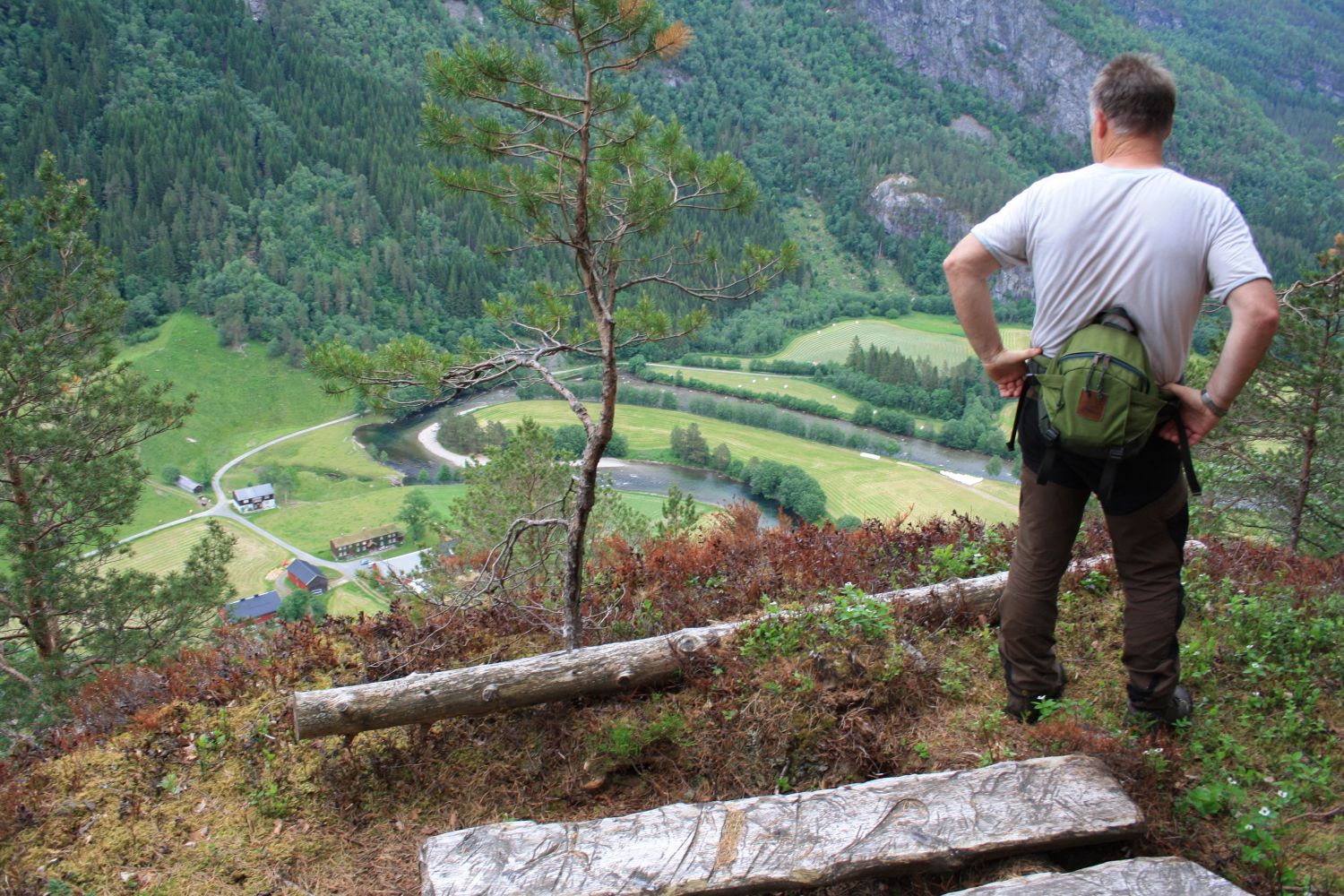
Start by walking from Todalshytta. Follow the marked path in the direction of Innerdalen via Snekkardalen until you reach an open area with the sign that reads “Storhaugen” after about 1.3 km. Follow the sign towards the top of Storhaugen Hill. Enjoy the beautiful view over Todalen from the hilltop. From there, you can either walk the same way back to the starting point or take a circular route by following the sign to Bruset. The first metres of the descent from Storhaugen to Bruset may seem steep but the remaining part of the descent follows a fairly good-quality path. At the end of the downhill climb, follow the asphalt road for a couple of hundred metres until you reach the information board at the side of the road. Turn off to the right and follow the sign down to the river. The path runs past a gapahuk shelter by the riverbank. The remaining section of the trail follows the river in the direction of Bruset and back to Todalshytta.
Park your car by the Todalshytta cabin.
Duration
3 t. 25 min.

Sesong
Spring, Summer, Autumn
Signage
Both signed and marked
| Surface type |
Distance |
| Asfalt |
0,3 |
| Sti |
4 |
The trail is marked and signposted. The surface may be slippery in wet weather. Please remember to close all the gates behind you!
 Driving directions
 Route data
GeoJSON
Route data
GeoJSON