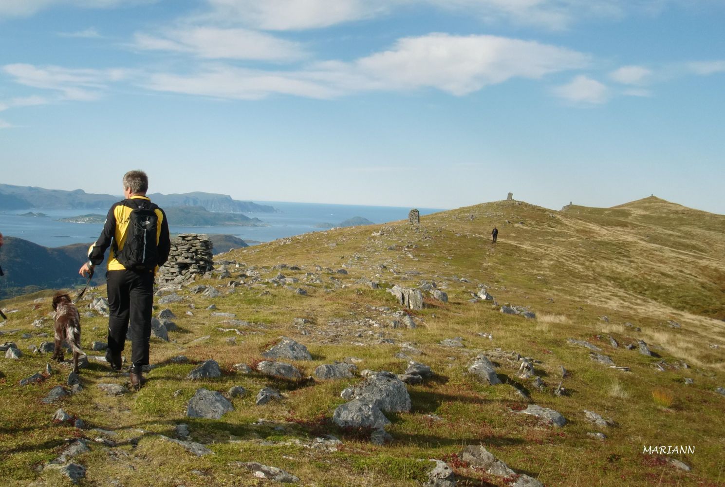
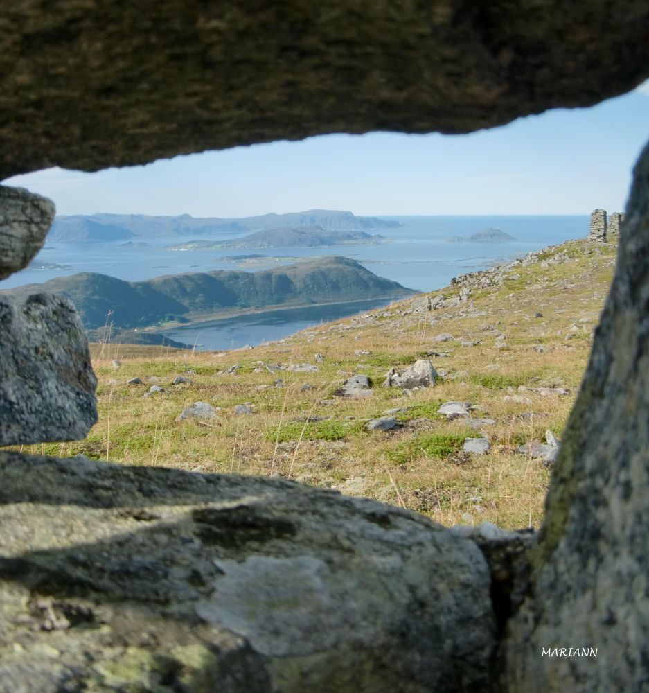
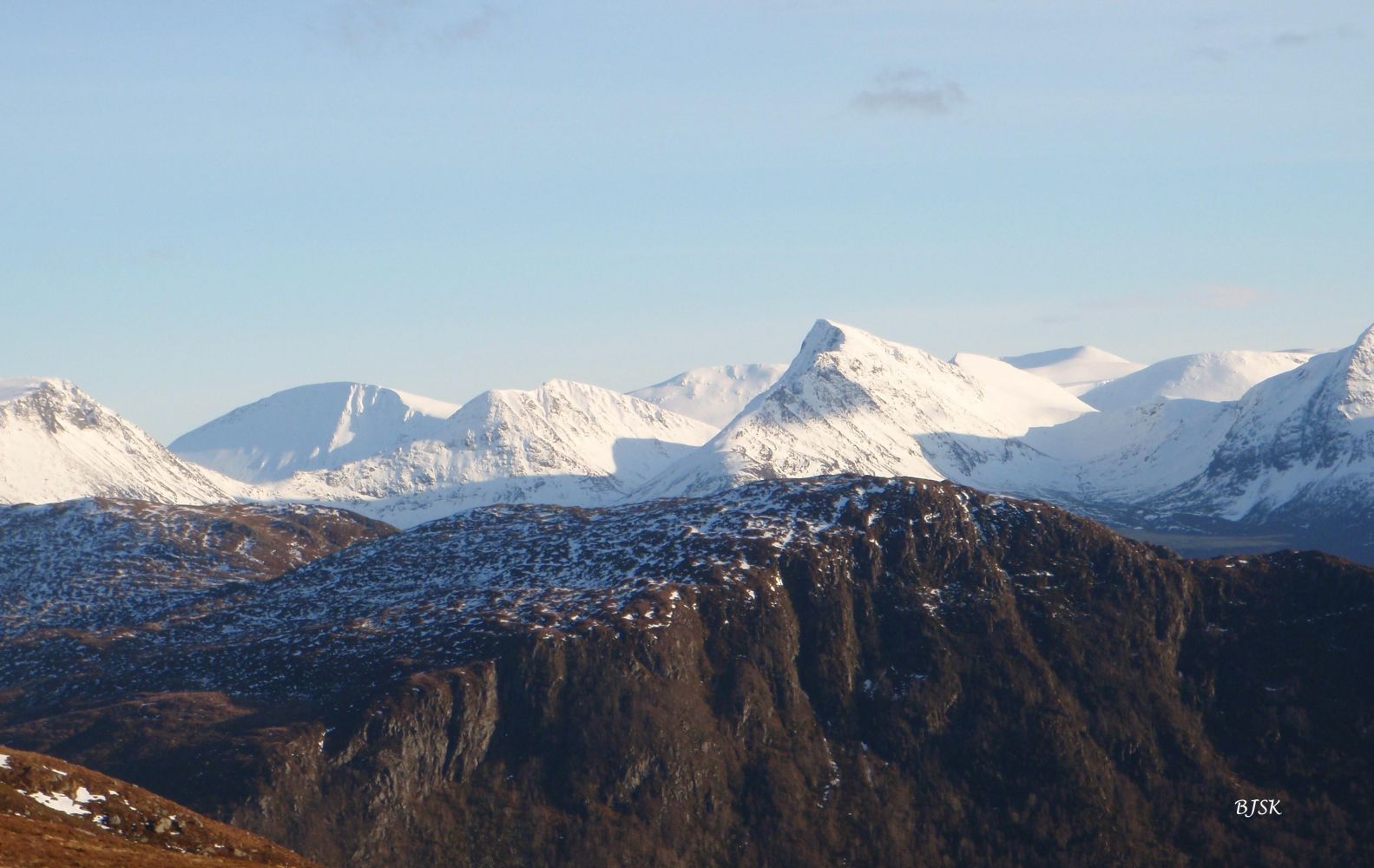
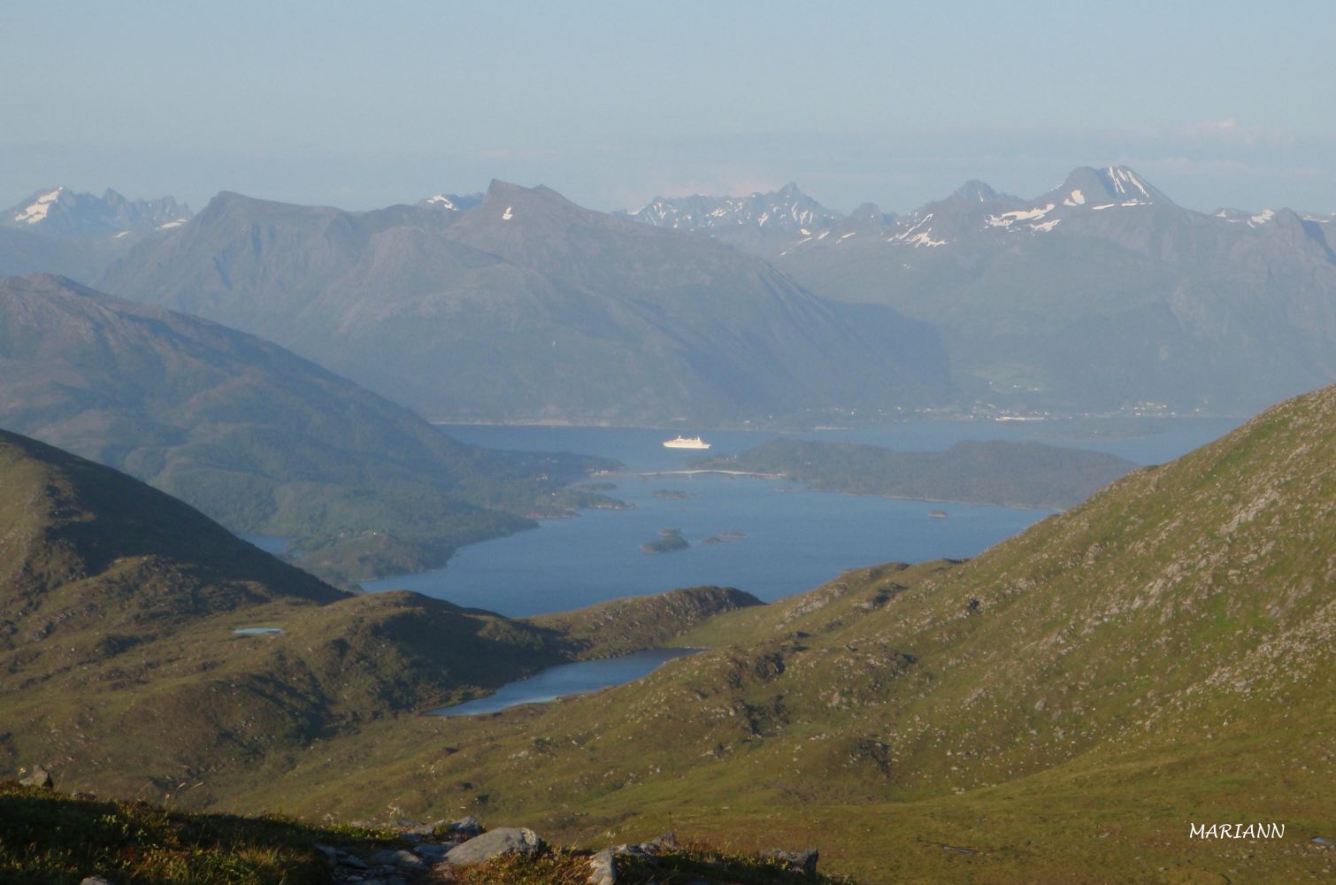
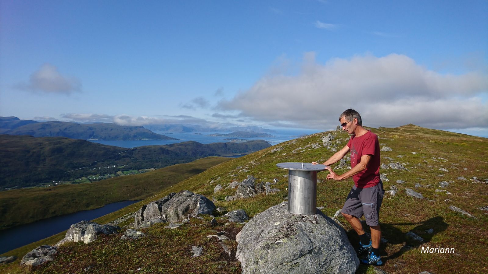
Storetua is the second highest mountain in Sande Municipality, overlooking large parts of the outer Sunnmøre and the Sunnmørsalpane mountain range. You will also have a view all the way to Mount Hornelen on the island of Bremangerlandet. Storetua is also known for the cairns that are set up along the ridge. Two sports associations, Gursken IL og Gurskøy IL, have a fitness trail post at the easternmost cairn. Gjerdsvika IL has a fitness trail post at the westernmost cairn, which is also the highest point of Storetua.
Start walking from the water plant in Holtane. You will see a hiking map on the wall of the building. First, walk down behind the water plant and follow the course of a drainage ditch until you come to the sign that reads “Storetua 592”. Turn right, cross the river, and walk straight up along the east side of a riverbed. Follow the path up to the mountain edge about 200 m east of the easternmost cairn. From there, walk west until you reach another cairn. If you want to go up to the highest point on Storetua, continue west along all the cairns. The westernmost one marks the highest point of the mountain.
The starting point of the trail is in Holtane, Gursken. Turn off County Road 61 (FV61) at the BEST petrol station near Lake Skogevatnet. Drive for about 500 m and turn right at the junction after the Gursken Stadium. Drive up Brekkane and turn left at the first junction. Continue to the water plant in Holtane and park your car there.
Duration
2 t. 35 min.

Sesong
Spring, Summer, Autumn
| Surface type |
Distance |
| Sti |
2,9 |
Ytre Søre Sunnmøre hiking map, M711 1119 III, Sunnmorskart.no
 Driving directions
 Route data
GeoJSON
Route data
GeoJSON