Storeronda in Moltu
Herøy
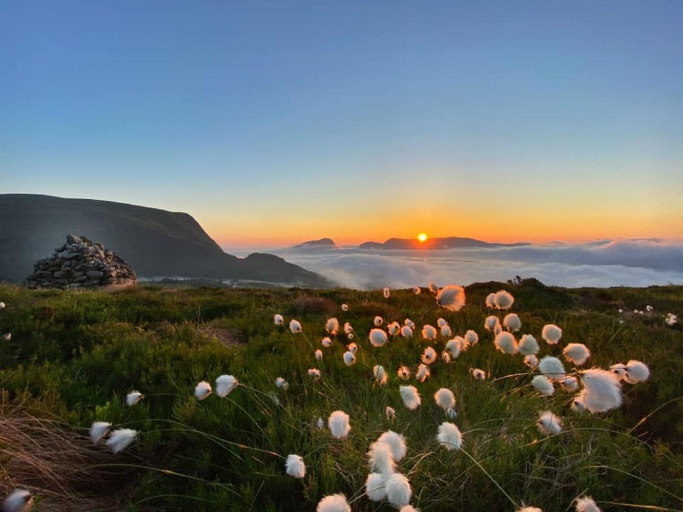
This trail covers 5 mountaintops on Gurskøya Island and starts at the Kvia car park in Moltu. The entire route is 13 km long, and the highest point is Sollia, 660 m a.s.l. For the most spectacular views, climb Syrebakkane first and go to Storehanen in the end.
This 5-peak trail starts at the car park at Kvia, Moltudalen. Walk towards Syrebakkane first to get the most scenic view. Continue to Sollia, the highest mountaintop at 660 m a.s.l. Then go to Hestefjellet at 621 m a.s.l., Selsteinen at 598 m a.s.l., and finally Storehanen at 471 m a.s.l.
Drive along FV654 until you reach the junction in Stokksund. Turn off towards Moltu onto 5868 Sandvikvegen Road. After passing Coop Moltustranda, turn onto Nygjerdevegen Road and drive up through the village. Park your car at Kvia in Moltudalen or Kviletua a little further ahead if you want to walk in the opposite direction.