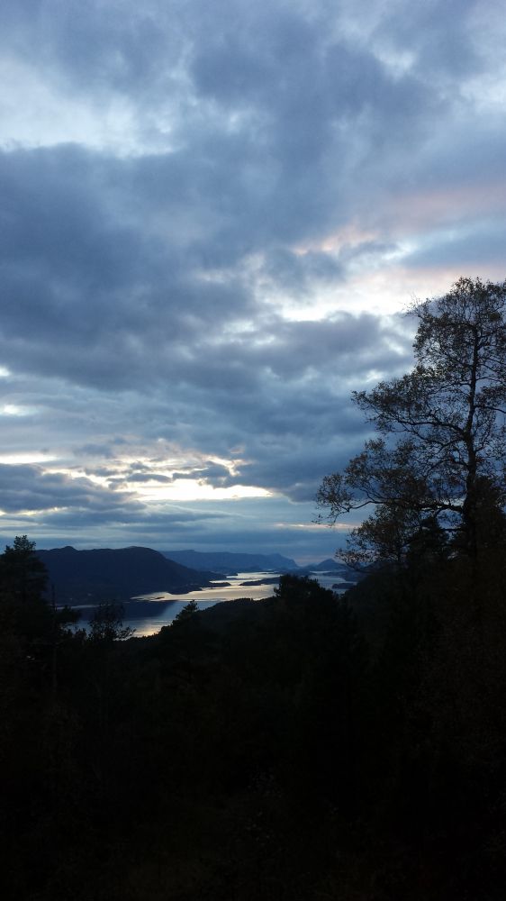
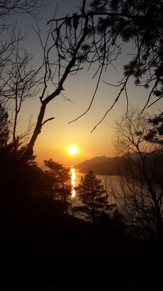
The trail starts from the school/day-care centre in Stette. Cross National Road 107 (Rv107) and follow a nice gravel road towards Opskar. After you walk past Opskar, turn off onto an old road in the direction of Stavset. Turn onto an old tractor road after about 300 m. Continue walking up this tractor road until you reach a plane. This is a perfect spot to take a break and enjoy the view towards Straumen, Valle and the Sunnmørsalpane mountain range. Continue following the waymarked path as it gently ascends towards Mount Støråkfjellet. Once you reach the top of the mountain, you can enjoy a great view in all directions. From there, continue walking along the path in the direction of Steinbruddet. When you come down to the stone fracture (Steinbruddet), just follow the gravel road as it takes you down to Øvste Leitet. Walk down and cross National Road 107 (Rv107) again. Follow the road through the village of Stette until you return to the the car park next to the school/day-care-centre.
The most convenient place to start this trail is the school/day-care centre in Stette.
There are plenty of parking spaces here, and it is a perfect starting point for a nice looped trail.
You can park your car next to the school/day-care centre in Stette.