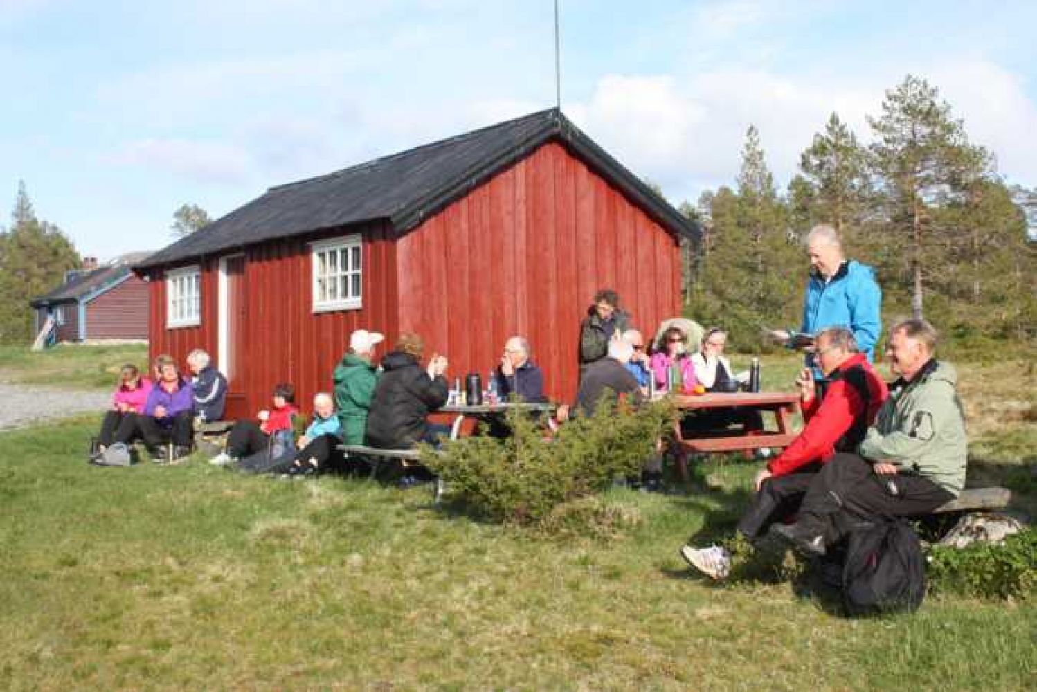
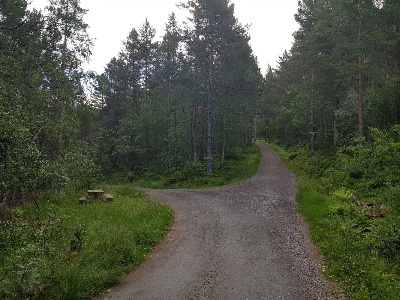
The trail to Steinsetsætra follows a farm road through gradually ascending terrain with a couple of steep sections. It is suitable for everyone.
From the car park in Sætrevika Bay in Fylling, follow the farm road the entire time until you reach the summer mountain pasture of Steinsetsætra.
There is a public car park along Engsetdalsvegen Road in Sætrevika Bay, about 3 km from the centre of Skodje. No parking fee applies.
Duration
2 t. 0 min

Sesong
Spring, Summer, Autumn
Signage
Both signed and marked
| Surface type |
Distance |
| Grus |
6,44 |
There are bus departures early in the morning and in the afternoon.
There is a public swimming area with a toilet near the car park on the other side of Engsetdalsvegen Road, 50 m towards Fylling. This could be a perfect place to end your hike to Steinsetsætra.
We also recommend taking a walk further along the scenic area around Lake Svarteløkvatnet.
 Driving directions
 Route data
GeoJSON
Route data
GeoJSON